Wessington Springs in Jerauld County, South Dakota — The American Midwest (Upper Plains)
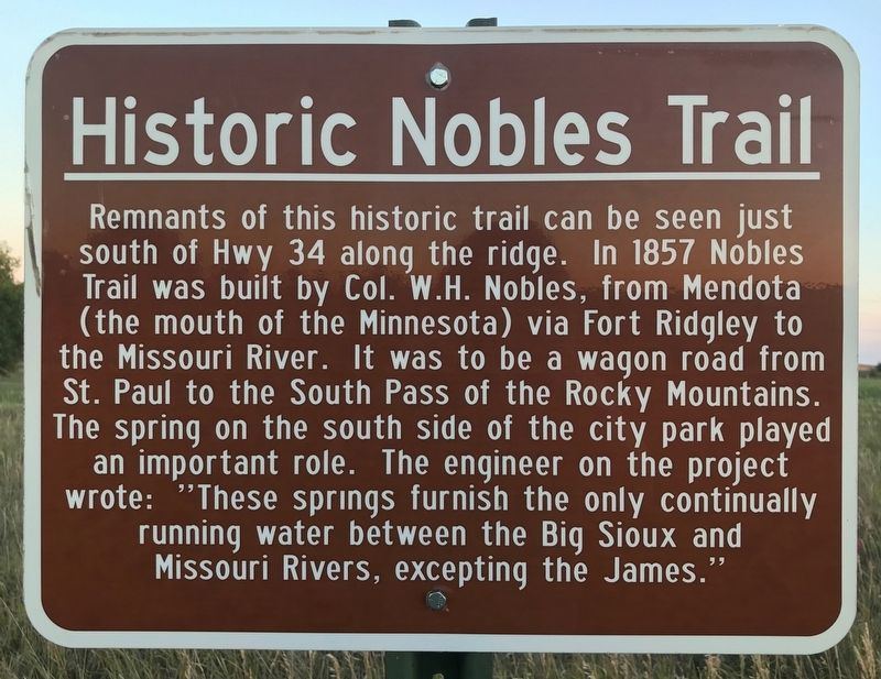
Historic Nobles Trail
Topics. This historical marker is listed in these topic lists: Roads & Vehicles • Waterways & Vessels. A significant historical year for this entry is 1857.
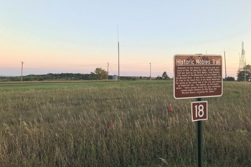
Location. 44° 4.523′ N, 98° 34.544′ W. Marker is in Wessington Springs, South Dakota, in Jerauld County. Marker is on State Highway 34, on the left when traveling north. Located near a roadside park overlook, in western Wessington Springs, on a trail on the west side of a side road going north. Touch for map. Marker is in this post office area: Wessington Springs SD 57382, United States of America. Touch for directions.
Other nearby markers. At least 8 other markers are within walking distance of this marker. Robert S. Vessey (within shouting distance of this marker); Governor Vessey - Father of Mother's Day (within shouting distance of this marker); Wessington Springs Roadside Park (about 300 feet away, measured in a direct line); Rube Goldberg Ski Lift Gadget (about 400 feet away); Wessington Springs Trivia (about 700 feet away); Noble's Trail Campsite (approx. 0.2 miles away); Neutral Ground (approx. 0.2 miles away); Legion Hill (approx. 0.2 miles away). Touch for a list and map of all markers in Wessington Springs.
Credits. This page was last revised on September 2, 2021. It was originally submitted on September 1, 2021. This page has been viewed 233 times since then and 43 times this year. Photos: 1, 2. submitted on September 1, 2021. • Bill Pfingsten was the editor who published this page.

