Newark in Licking County, Ohio — The American Midwest (Great Lakes)
The Observatory Mound
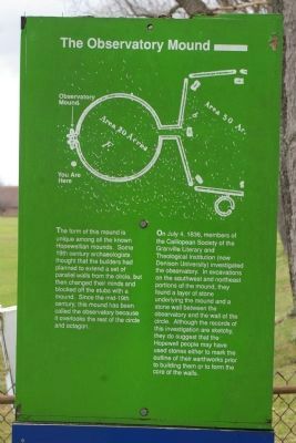
Photographed by Christopher Busta-Peck, March 29, 2009
1. The Observatory Mound Marker
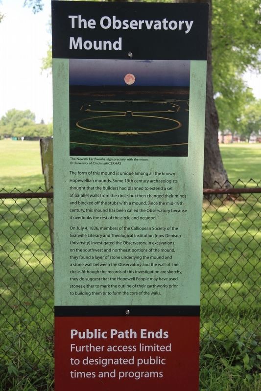
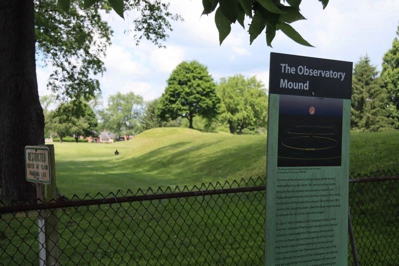
On July 4, 1836, members of the Calliopean Society of the Granville Literary and Theological Institution (now Denison University) investigated the observatory. In excavations on the soutwest and northeast portions of the mound, they found a layer of stone underlying the mound and a stone wall between the observatory and the wall of the circle. Although the records of this investigation are sketchy, they do suggest that the Hopewell people many have used stones either to mark the outline of their earthworks prior to building them or to form the core of the walls.
Topics. This historical marker is listed in these topic lists: Air & Space • Anthropology & Archaeology • Indigenous Peoples and Communities • Man-Made Features. A significant historical month for this entry is July 1842.
Location. This marker has been replaced by another marker nearby. 40° 3.038′ N, 82° 26.95′ W. Marker is in Newark, Ohio, in Licking County. It can be reached from N 33rd Street near Parkview Road. Marker is on the grounds of the Moundbuilders Country Club. It can be reached on a trail from the Moundbuilders Country Club parking lot. The trail is open to the public, though much of the rest of the grounds of the club are not. Touch for map. Marker is at or near this postal address: 125 N 33rd Street, Newark OH 43055, United States of America. Touch for directions.

Regionally, this marker is in the Columbus Metropolitan Area. It is also in
this page online
Other nearby markers. At least 8 other markers are within walking distance of this location: Experience Ancient Brilliance (approx. ¼ mile away); The Builders (approx. ¼ mile away); Chief Glenna J. Wallace (approx. ¼ mile away); a different marker also named The Builders (approx. ¼ mile away); a different marker also named History of the Site (approx. ¼ mile away); Astronomical Alignments (approx. ¼ mile away); a different marker also named History of the Site (approx. ¼ mile away); The Earthworks (approx. ¼ mile away). Touch for a list and map of all markers in Newark.
Other markers no longer nearby. Octagon Earthworks (was approx. 0.2 miles away but has been replaced with another marker now near it); a different marker also named The Builders (was approx. ¼ mile
Photographed by Dale K. Benington, June 11, 2022
2. The Observatory Mound Marker
More about this marker. The original marker, which was photographed in this post in March of 2009, seems to have been replaced with the one photographed in June of 2022. The text is identical, but the marker background and the marker's illustration have been changed.
Photographed by Dale K. Benington, June 11, 2022
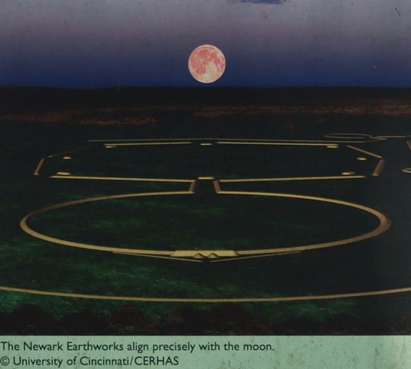
3. The Observatory Mound Marker
Close-up view of the illustration on the marker showing the Octagon Earthwork being aligned precisely with the moon.
Photographed by Christopher Busta-Peck, March 29, 2009
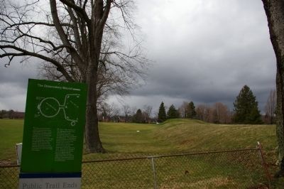
4. Marker location
The Observatory Mound may be seen in the background.
Photographed by Dale K. Benington, June 11, 2022
5. The Observatory Mound Marker
The Observatory Mound may be seen in the distant background.
Photographed by Christopher Busta-Peck, March 29, 2009
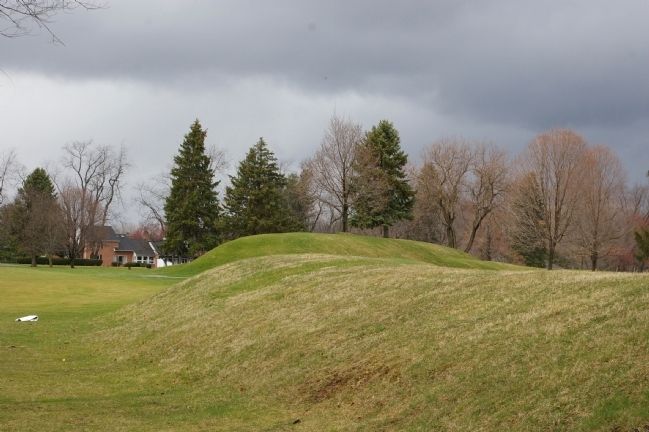
6. The Observatory Mound
Credits. This page was last revised on July 9, 2022. It was originally submitted on April 20, 2009, by Christopher Busta-Peck of Shaker Heights, Ohio. This page has been viewed 1,414 times since then and 68 times this year. Photos: 1. submitted on April 20, 2009, by Christopher Busta-Peck of Shaker Heights, Ohio. 2, 3. submitted on June 15, 2022, by Dale K. Benington of Toledo, Ohio. 4. submitted on April 20, 2009, by Christopher Busta-Peck of Shaker Heights, Ohio. 5. submitted on June 15, 2022, by Dale K. Benington of Toledo, Ohio. 6. submitted on April 20, 2009, by Christopher Busta-Peck of Shaker Heights, Ohio.
