Nathalie in Halifax County, Virginia — The American South (Mid-Atlantic)
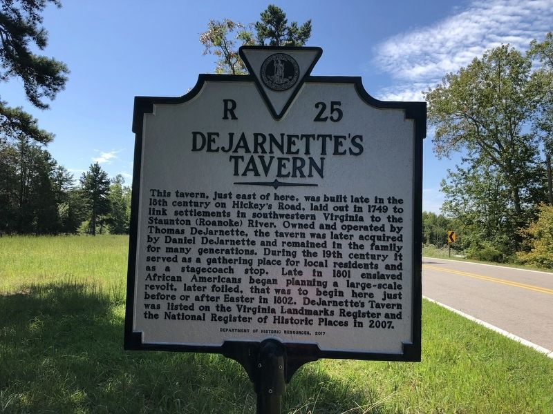
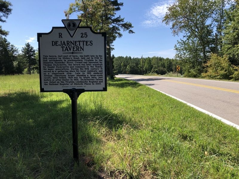
DeJarnette's Tavern
Erected 2017 by Department of Historic Resources. (Marker Number R-25.)
Topics and series. This historical marker is listed in these topic lists: African Americans • Colonial Era • Industry & Commerce • Roads & Vehicles. In addition, it is included in the Virginia Department of Historic Resources (DHR) series list. A significant historical year for this entry is 1749.
Location. 37° 0.766′ N, 79° 0.44′ W. Marker is in Nathalie, Virginia, in Halifax County. Marker is on Stage Coach Road (Virginia Route 40) 0.6 miles north of Jennings Lane (Virginia Route 777), on the right when traveling north. Touch for map. Marker is at or near this postal address: 4068 Stage Coach Rd, Nathalie VA 24577, United States of America. Touch for directions.
Other nearby markers. At least 8 other markers are within 7 miles of this marker, measured as the crow flies. Campbell County / Halifax County (approx. 3.8 miles away); Patrick Henry’s Grave (approx. 4.2 miles away); a different marker also named Patrick Henry’s Grave (approx. 4.3 miles away); Birthplace of General Pick (approx. 4˝ miles away); Quarter Place Trailhead (approx. 6.2 miles away); Slave and African American Cemetery (approx. 6.2 miles away); Osage Orange Tree (approx. 6.2 miles away); Patrick Henry House (approx. 6.2 miles away).
Credits. This page was last revised on September 5, 2021. It was originally submitted on September 5, 2021, by Devry Becker Jones of Washington, District of Columbia. This page has been viewed 318 times since then and 43 times this year. Photos: 1, 2. submitted on September 5, 2021, by Devry Becker Jones of Washington, District of Columbia.

