Near Fillmore in Bossier Parish, Louisiana — The American South (West South Central)
Fillmore Cemetery
Historic Site
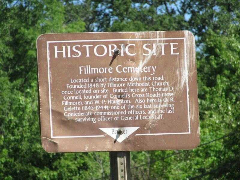
Photographed by Jason Armstrong, April 25, 2021
1. Fillmore Cemetery Marker
Topics. This historical marker is listed in these topic lists: Cemeteries & Burial Sites • War, US Civil. A significant historical year for this entry is 1848.
Location. 32° 33.417′ N, 93° 30.913′ W. Marker is near Fillmore, Louisiana, in Bossier Parish. It is at the intersection of Fillmore Cemetery Road and State Highway 157, on the right when traveling west on Fillmore Cemetery Road. Touch for map. Marker is in this post office area: Haughton LA 71037, United States of America. Touch for directions.

Regionally, this marker is in North Louisiana. It is also in the American South, specifically in the Deep South, and in the Piney Woods. Globally, it is in North America, a Gulf of Mexico state, the Western Hemisphere, the Western World, and the Anglosphere.
this page online
Other nearby markers. At least 8 other markers are within 11 miles of this marker, measured as the crow flies: Paul Lawrence Home (approx. 2 miles away); Henry McDade House (approx. 5.1 miles away); Oakland Plantation (approx. 6.1 miles away); Bellevue Cemetery (approx. 8.1 miles away); Bossier Parish Court Police Jury (approx. 8.1 miles away); The Arrest of Isaac Williams and his Men (approx. 8.8 miles away); Major General Lewis Elton Lyle (approx. 10.2 miles away); General Ira C. Eaker (approx. 10.2 miles away).
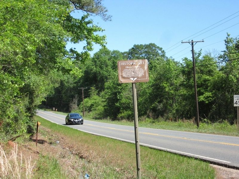
Photographed by Jason Armstrong, April 25, 2021
2. Fillmore Cemetery Marker (Looking North on 157)
Credits. This page was last revised on September 8, 2021. It was originally submitted on September 8, 2021, by Jason Armstrong of Talihina, Oklahoma. This page has been viewed 1,643 times since then and 128 times this year. Photos: 1, 2. submitted on September 8, 2021, by Jason Armstrong of Talihina, Oklahoma. • Bernard Fisher was the editor who published this page.
