Near Quincy in Adams County, Illinois — The American Midwest (Great Lakes)
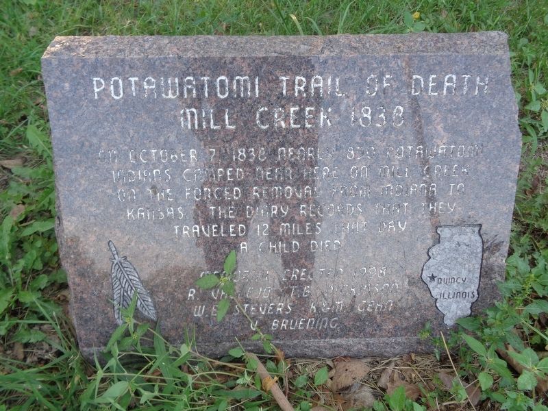
Potawatomi Trail of Death
Mill Creek 1838
Photographed by Jason Voigt, September 7, 2021
1. Potawatomi Trail of Death Marker
Erected 1998 by R. Vallejo, T.B. Dickinson, W.E. Stevers, K&M Gehn V. Bruening.
Topics and series. This historical marker is listed in these topic lists: Indigenous Peoples and Communities • Waterways & Vessels. In addition, it is included in the Potawatomi Trail of Death series list. A significant historical date for this entry is October 7, 1838.
Location. 39° 55.779′ N, 91° 16.962′ W. Marker is near Quincy, Illinois, in Adams County. It is on Rock Quarry Road south of Illinois Route 104, on the left when traveling north. Touch for map. Marker is at or near this postal address: 8514 Rock Quarry Rd, Quincy IL 62305, United States of America. Touch for directions.

Regionally, this marker is in Central Illinois. It is also in the American Midwest, in the Corn Belt, and in the Great River Road Region. Globally, it is in North America, the Western Hemisphere, the Western World, and the Anglosphere. Historically, it finds
this page online
Other nearby markers. At least 8 other markers are within 6 miles of this marker, measured as the crow flies: A National Cemetery System (approx. 3.9 miles away); In Honor of Those Who Gave the Ultimate Sacrifice (approx. 3.9 miles away); Quincy National Cemetery (approx. 3.9 miles away); Thomas Scott Baldwin 1858-1923 (approx. 4½ miles away); Madison Park (approx. 5 miles away); Dr. Thomas Edgar Musselman (approx. 5 miles away); Charley's Run (approx. 5 miles away); Charles Henry Bull House (approx. 5.6 miles away). Touch for a list and map of all markers in Quincy.
Photographed by Jason Voigt, September 7, 2021
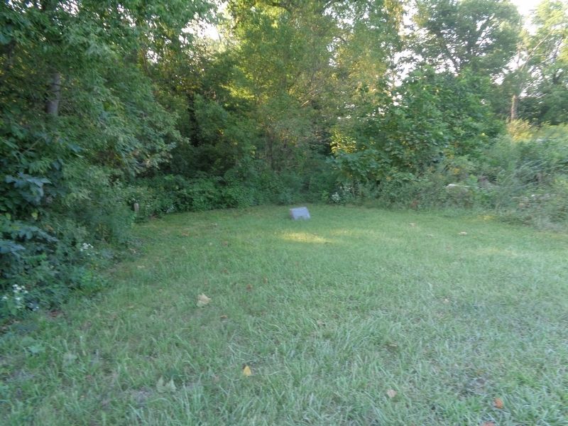
2. Potawatomi Trail of Death Marker
Photographed by Jason Voigt, September 7, 2021
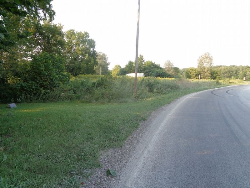
3. Potawatomi Trail of Death Marker
Looking north on Rock Quarry Road
Credits. This page was last revised on September 8, 2021. It was originally submitted on September 8, 2021, by Jason Voigt of Glen Carbon, Illinois. This page has been viewed 832 times since then and 35 times this year. Photos: 1, 2, 3. submitted on September 8, 2021, by Jason Voigt of Glen Carbon, Illinois.
