
Columbia Island in Southwest Washington in Washington, District of Columbia — The American Northeast (Mid-Atlantic)
Tomorrow is ours to win or lose
Lyndon Baines Johnson Memorial Grove on the Potomac
| — | National Park Service, U.S. Department of the Interior | — |
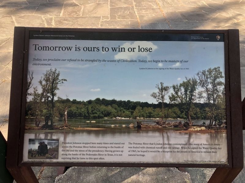
Today, we proclaim our refusal to be strangled by the wastes of Civilization. Today, we begin to be the masters of our environment.
Lyndon B. Johnson at the signing of the Water Quality Act of 1965
President Johnson stopped here many times and stared out across the Potomac River before returning to the bustle of the city and the stress of the presidency. Having grown up along the banks of the Pedernales River in Texas, it is not surprising that he came to this spot often.
The Potomac River that Lyndon Johnson contemplated - like many of America's rivers - was fouled with chemical runoff and raw sewage. When he signed the Water Quality Act of 1965, he hoped it would be a blueprint for the people of America to reclaim their natural heritage.
Erected by National Park Service, U.S. Department of the Interior.
Topics and series. This historical marker is listed in these topic lists: Environment • Government & Politics • Waterways & Vessels. In addition, it is included in the Former U.S. Presidents: #36 Lyndon B. Johnson series list. A significant historical year for this entry is 1965.
Location. This marker has been replaced by another marker nearby.
this page online

Regionally, this marker was in the Washington Metropolitan Area. It was also in the American Northeast, in the Upper South, in the Mid-Atlantic, in the Tidewater, and in the Chesapeake Bay Region. Globally, it was in the North Atlantic Region, North America, the Western Hemisphere, the Western World, and the Anglosphere.
Other nearby markers. At least 8 other markers are within walking distance of this location: The Memorial Grove (a few steps from this marker); "Where flowers bloom, so does hope" (about 500 feet away, measured in a direct line); Architect of the Great Society (about 500 feet away); Navy and Marine Memorial (approx. ¼ mile away); Tomb of Remembrance (approx.
Other markers no longer nearby. First Bloom (was a few steps from this marker but has been confirmed missing); The Boundary Channel (was about 500 feet away but has been replaced with another marker now near it).
More about this marker.
Captions:
On the Pedernales River in 1967.
The Potomac River upstream of the memorial grove.
Photographed by J. Makali Bruton, October 10, 2016
3. Tomorrow is ours to win or lose Marker
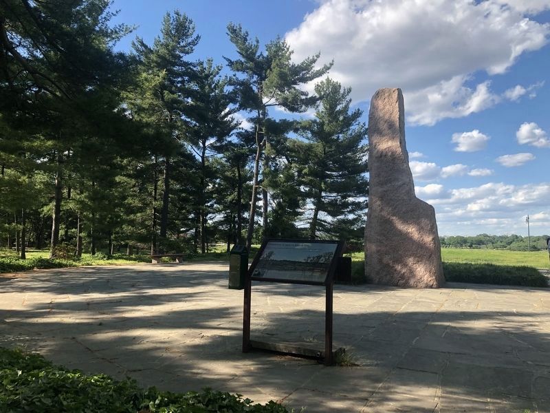
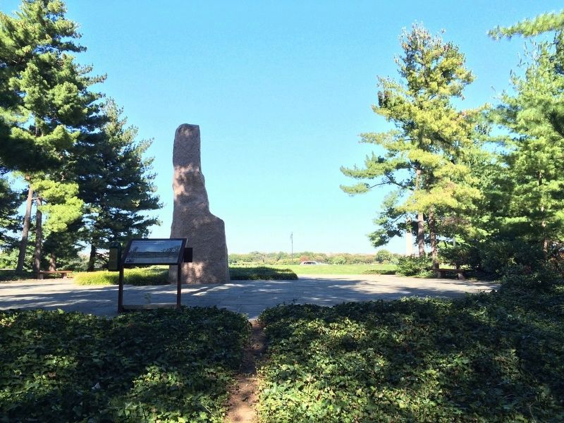
This view towards the northeast shows the marker and the LBJ monolith in the park. The Potomac River is in the background.
Credits. This page was last revised on January 31, 2023. It was originally submitted on October 13, 2016, by J. Makali Bruton of Washington, District of Columbia. This page has been viewed 580 times since then and 15 times this year. Last updated on September 9, 2021, by Shane Oliver of Richmond, Virginia. Photos: 1, 2. submitted on May 31, 2020, by Devry Becker Jones of Washington, District of Columbia. 3. submitted on October 13, 2016, by J. Makali Bruton of Washington, District of Columbia.
