Rush Springs in Grady County, Oklahoma — The American South (West South Central)
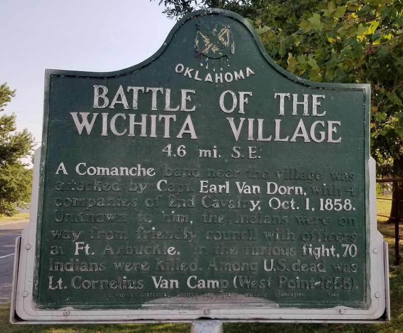
Battle of the Wichita Village
4.6 mi. S.E.
Photographed by James Hulse, September 8, 2021
1. Battle of the Wichita Village Marker
Erected 1949 by Oklahoma Historical Society and State Highway Commission.
Topics and series. This historical marker is listed in these topic lists: Indigenous Peoples and Communities • Wars, US Indian. In addition, it is included in the Oklahoma Historical Society series list. A significant historical year for this entry is 1858.
Location. 34° 47.242′ N, 97° 57.382′ W. Marker is in Rush Springs, Oklahoma, in Grady County. It is on North Rush Avenue (Business U.S. 81) 0.1 miles north of Arapahoe Avenue, on the right when traveling north. The marker is located on the outskirts of town along the highway. Touch for map. Marker is at or near this postal address: 515 North Rush Ave, Rush Springs OK 73082, United States of America. Touch for directions.

Regionally, this marker is in the Chickasaw Nation and
this page online
Other nearby markers. At least 5 other markers are within 15 miles of this marker, measured as the crow flies: Marlow Brothers Hideout (approx. 9.7 miles away); Redbud Chapel (approx. 9.7 miles away); On the Chisholm Trail (approx. 9.7 miles away); The Marlow Brothers (approx. 9.7 miles away); Cement Area Veterans Memorial (approx. 14.6 miles away).
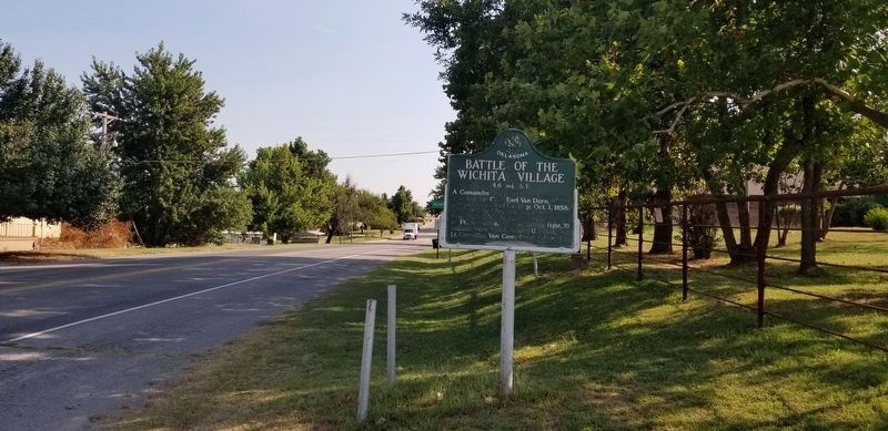
Photographed by James Hulse, September 8, 2021
2. The Battle of the Wichita Village Marker along the road
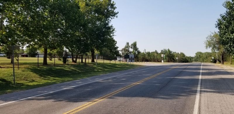
Photographed by James Hulse, September 8, 2021
3. The view of the Battle of the Wichita Village Marker from the street
Credits. This page was last revised on September 11, 2021. It was originally submitted on September 11, 2021, by James Hulse of Medina, Texas. This page has been viewed 2,963 times since then and 153 times this year. Photos: 1, 2, 3. submitted on September 11, 2021, by James Hulse of Medina, Texas.
