Burwell in Garfield County, Nebraska — The American Midwest (Upper Plains)
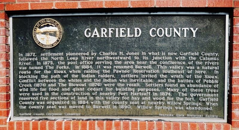
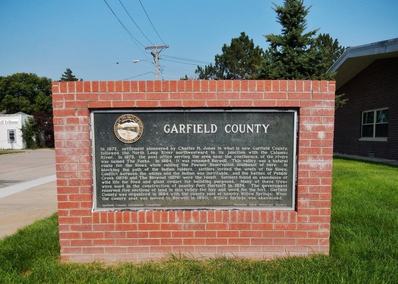
Garfield County
In 1872, settlement pioneered by Charles H. Jones in what is now Garfield County, followed the North Loup River northwestward to its junction with the Calamus River. In 1875, the post office serving the area near the confluence of the rivers was named The Forks. In 1884, it was renamed Burwell. This valley was a natural route for the Sioux when raiding the Pawnee Reservation southeast of here. In blocking the path of the Indian raiders, settlers invited the wrath of the Sioux. Conflict between the whites and the Indian was inevitable, and the battles of Pebble Creek (1874) and The Blowout (1876) were the result. Settlers found an abundance of wild life for food and giant cedars for building purposes. Many of these trees were used in the construction of nearby Fort Hartsuff in 1874. The government reserved five sections on land in this valley for hay and wood for the fort. Garfield County was organized in 1884 with the county seat at nearby Willow Springs. When the county seat was moved to Burwell in 1890, Willow Springs was abandoned.
Erected by Garfield County Centennial Committee; and Nebraska State Historical Society. (Marker Number 188.)
Topics and series. This historical marker is listed in these topic lists: Native Americans • Settlements & Settlers • Wars, US Indian • Waterways & Vessels. In addition, it is included in the Nebraska State Historical Society series list. A significant historical year for this entry is 1872.
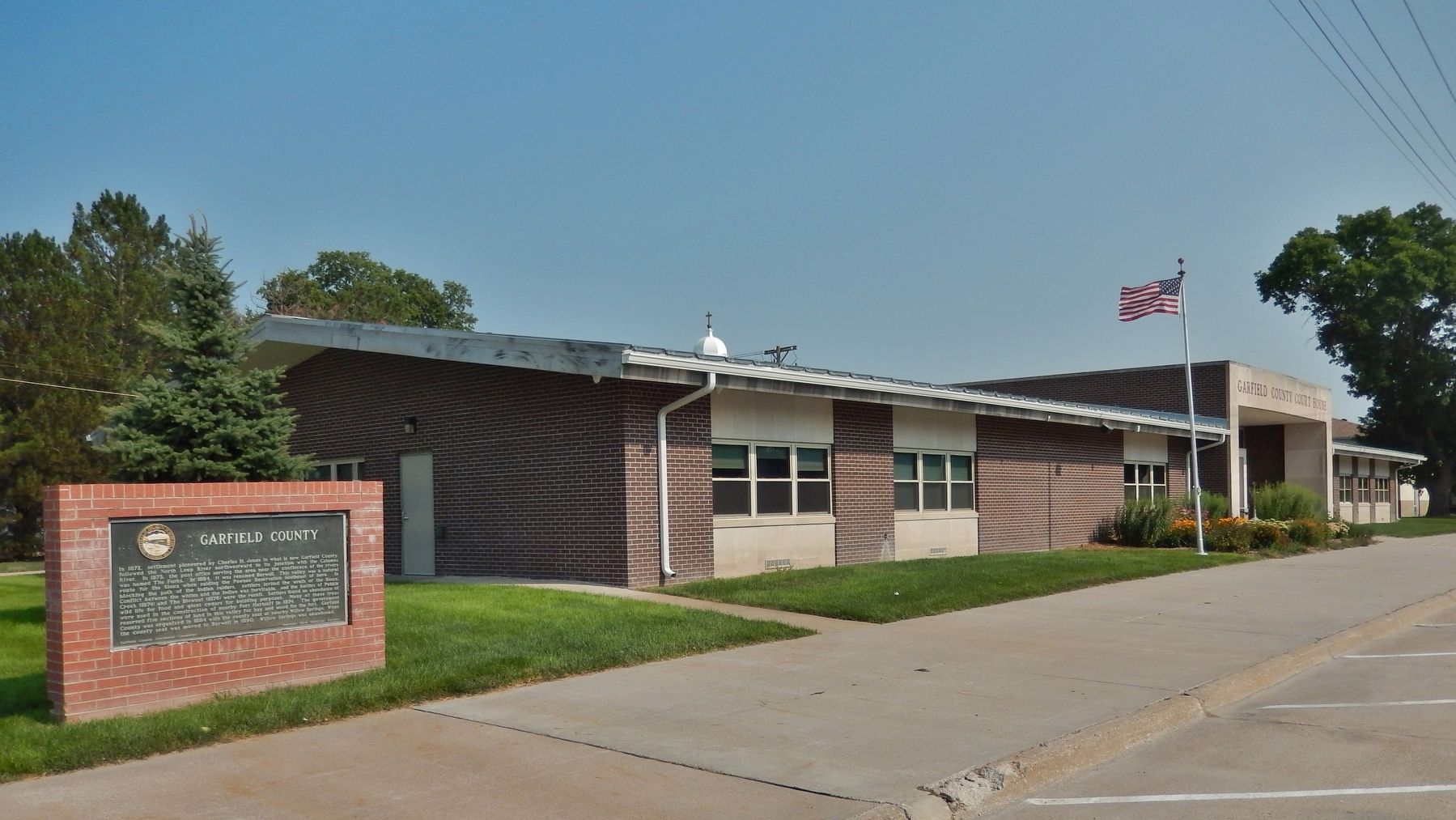
Location. 41° 46.83′ N, 99° 8.107′ W. Marker is in Burwell, Nebraska, in Garfield County. Marker is on South 8th Avenue just south of H Street, on the right when traveling north. Marker is located at the northwest corner of the Garfield County Courthouse grounds, facing South 8th Avenue. Touch for map. Marker is at or near this postal address: 250 South 8th Avenue, Burwell NE 68823, United States of America. Touch for directions.
Other nearby markers. At least 8 other markers are within 13 miles of this marker, measured as the crow flies. First Settlers in Garfield (about 500 feet away, measured in a direct line); Railroad Turntable (approx. 0.4 miles away); The Easter Blizzard of 1873 (approx. 0.9 miles away); The Pebble Creek Fight (approx. 0.9 miles away); Kamp Kaleo (approx. 2.1 miles away); The North Loup Project (approx. 5.4 miles away); The Calamus Valley (approx. 5.4 miles away); Valleyview (approx. 12.2 miles away). Touch for a list and map of all markers in Burwell.
Also see . . . Garfield County, Nebraska
. Wikipedia entry (Submitted on March 12, 2022, by Larry Gertner of New York, New York.)
Credits. This page was last revised on March 12, 2022. It was originally submitted on September 15, 2021, by Cosmos Mariner of Cape Canaveral, Florida. This page has been viewed 263 times since then and 37 times this year. Photos: 1, 2, 3. submitted on September 16, 2021, by Cosmos Mariner of Cape Canaveral, Florida.


