Ketchikan in Ketchikan Gateway Borough, Alaska — Northwest (North America)
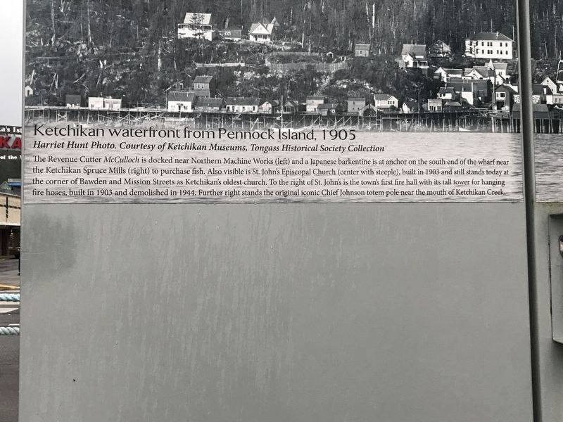
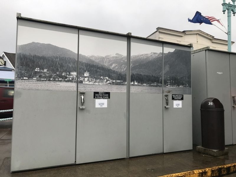
Ketchikan Waterfront from Pennock Island, 1905
Harriet Hunt Photo. Courtesy of Ketchikan Museums, Tongass Historical Society Collection
Photographed by Duane and Tracy Marsteller, September 4, 2021
1. Ketchikan Waterfront from Pennock Island, 1905 Marker
Topics. This historical marker is listed in these topic lists: Indigenous Peoples and Communities • Religion & Religious Structures • Waterways & Vessels. A significant historical year for this entry is 1905.
Location. 55° 20.465′ N, 131° 38.816′ W. Marker is in Ketchikan, Alaska, in Ketchikan Gateway Borough. It can be reached from the intersection of Front Street and Mission Street, on the right when traveling south. Marker is on an electrical junction box next to the Ketchikan Visitors Bureau. Touch for map.
this page online

Regionally, this marker is in Southeast Alaska, in Tlingit and Haida & Tsimshian Region. It is also on the American Pacific Coast. Globally, it is in North America, in the Inside Passage, on the Pacific Rim, in the Western Hemisphere, in the Western World, and in the Anglosphere. Historically, it finds itself in what was once the Russian Empire.
Other nearby markers. At least 8 other markers are within walking distance of this marker: Steamships in Ketchikan (a few steps from this marker); When 'Steam was Queen' (a few steps from this marker); Proud Canoes & Coastal Traders (within shouting distance of this marker); Star-crossed Square Riggers (within shouting distance of this marker); Trials by Fire (within shouting distance of this marker); South Front Street (within shouting distance of this marker); Spirit & Sparks (within shouting distance of this marker); Tongass Trading Company (within shouting distance of this marker). Touch for a list and map of all markers in Ketchikan.
Photographed by Duane and Tracy Marsteller, September 4, 2021
2. Ketchikan Waterfront from Pennock Island, 1905 Marker
Credits. This page was last revised on September 16, 2021. It was originally submitted on September 16, 2021, by Duane and Tracy Marsteller of Murfreesboro, Tennessee. This page has been viewed 407 times since then and 28 times this year. Photos: 1, 2. submitted on September 16, 2021, by Duane and Tracy Marsteller of Murfreesboro, Tennessee.
