Mount Morris in Livingston County, New York — The American Northeast (Mid-Atlantic)
Murray Hill
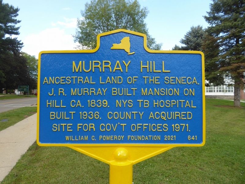
Photographed by Bruce Kelly, September 16, 2021
1. Murray Hill Marker
Erected 2021 by William G. Pomeroy Foundation. (Marker Number 641.)
Topics and series. This historical marker is listed in these topic lists: Architecture • Indigenous Peoples and Communities • Science & Medicine. In addition, it is included in the William G. Pomeroy Foundation series list. A significant historical year for this entry is 1839.
Location. 42° 43.89′ N, 77° 53.069′ W. Marker is in Mount Morris, New York, in Livingston County. It is on Murray Hill Drive 0.1 miles north of Al Lorenz Drive, on the right when traveling north. The marker stands within the Murray Hill complex. Touch for map. Marker is at or near this postal address: 1 Murray Hill Dr, Mount Morris NY 14510, United States of America. Touch for directions.

Regionally, this marker is in Upstate New York, specifically in Western New York, in the Finger Lakes, and in the Rochester Metropolitan Area. It is also in the American Northeast and in the Mid-Atlantic. Globally, it is in North
this page online
Other nearby markers. At least 8 other markers are within walking distance of this marker: Francis Bellamy Memorial Park (approx. half a mile away); John Wesley Powell (approx. 0.6 miles away); Mary S. Howell (approx. 0.6 miles away); John W. Powell (approx. 0.7 miles away); Burke's Tavern (approx. 0.7 miles away); Genesee Valley Greenway (approx. 0.7 miles away); Squawkie Hill Overlook (approx. 0.8 miles away); "Da-Yo-It-Ga-O" (approx. 0.8 miles away). Touch for a list and map of all markers in Mount Morris.
Also see . . . History of Livingston County - Murray Hill. (Submitted on July 10, 2022, by Bruce Kelly of Perry, New York.)
Photographed by Bruce Kelly, September 16, 2021
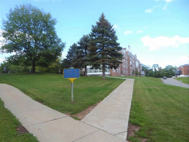
2. Murray Hill Marker
The former NYS TB Hospital, referred to on the marker, is the building in the background
Photographed by Bruce Kelly, September 16, 2021
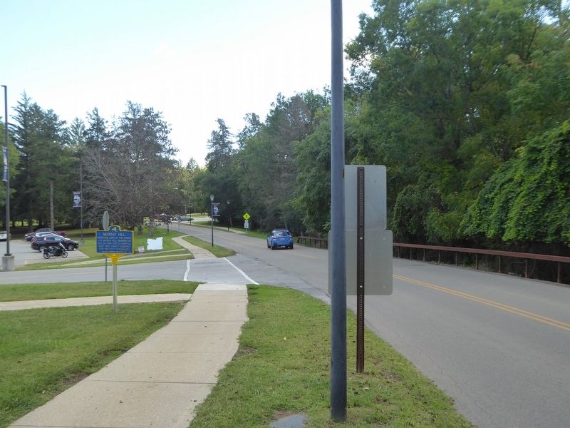
3. Murray Hill Marker
looking south on Murray Hill Dr, Mt Morris, NY
Credits. This page was last revised on July 13, 2022. It was originally submitted on September 16, 2021, by Bruce Kelly of Perry, New York. This page has been viewed 483 times since then and 40 times this year. Photos: 1, 2, 3. submitted on September 16, 2021, by Bruce Kelly of Perry, New York. • Devry Becker Jones was the editor who published this page.
