Seward in Seward County, Nebraska — The American Midwest (Upper Plains)
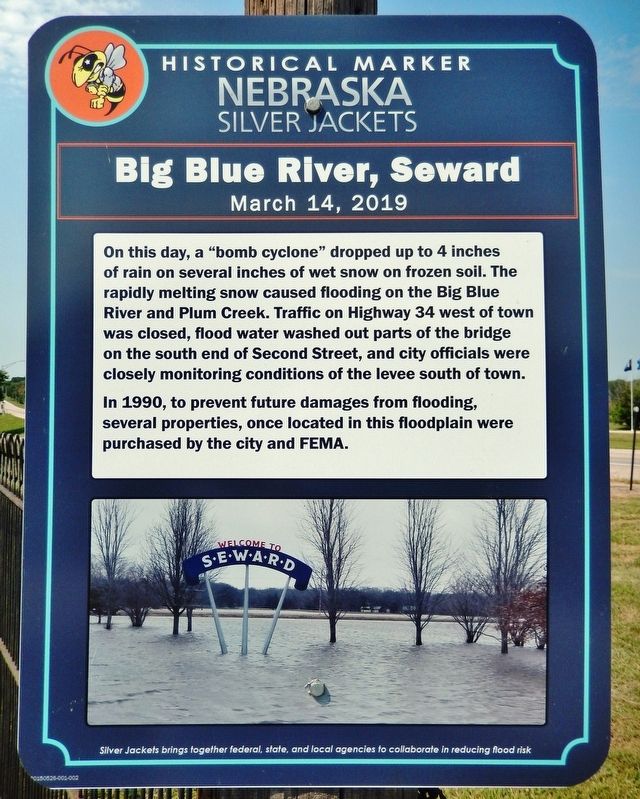
Big Blue River, Seward
March 14, 2019
In 1990, to prevent future damages from flooding, several properties, once located in this floodplain were purchased by the city and FEMA.
Silver Jackets brings together federal, state, and local agencies to collaborate in reducing flood risk.
Erected by Nebraska Silver Jackets.
Topics. This historical marker is listed in these topic lists: Bridges & Viaducts • Roads & Vehicles • Waterways & Vessels. A significant historical date for this entry is March 14, 2019.
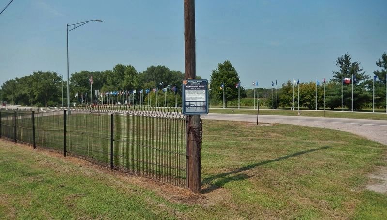
Location. 40° 54.167′ N, 97° 5.233′ W. Marker is in Seward, Nebraska, in Seward County. Marker is on McKelvie Road (U.S. 34) 0.1 miles west of Crooked Mile Road, on the left when traveling west. Marker is mounted at eye-level on a power pole in the pull-out on the south side of the highway. Touch for map. Marker is in this post office area: Seward NE 68434, United States of America. Touch for directions.
Other nearby markers. At least 8 other markers are within 14 miles of this marker, measured as the crow flies. Plum Creek Prairie Historic Site (a few steps from this marker); Seward, 4th of July City (approx. 0.7 miles away); a different marker also named The Big Blue River (approx. 5.8 miles away); Purple Heart Trail (approx. 5.8 miles away); Tall Grass Prairie (approx. 5.8 miles away); Standing Bear and the Ponca Tribe (approx. 5.8 miles away); Historic Milford (approx. 9.2 miles away); The Beaver Crossing Mill (approx. 13.2 miles away). Touch for a list and map of all markers in Seward.
Also see . . . What Is a Bomb Cyclone?.
A bomb cyclone is a large, intense midlatitude storm that has low pressure at its center, weather fronts and an array of associated weather, from blizzards to severe thunderstorms to heavy precipitation. It becomes a bomb when its central pressure decreases very quickly—by at least 24 millibars in 24 hours. Two famed meteorologists, Fred Sanders and John Gyakum, gave this pattern its name in a 1980 study.(Submitted on November 26, 2022, by Cosmos Mariner of Cape Canaveral, Florida.)
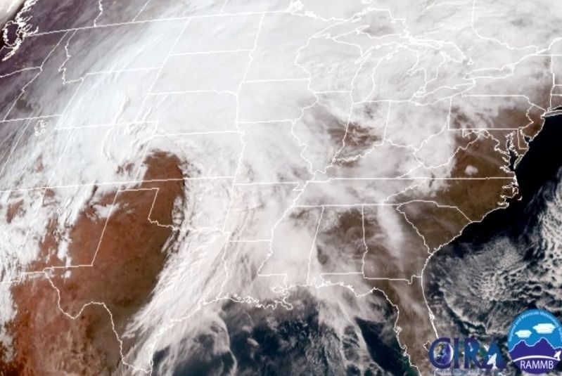
via National Weather Service, 2019
3. March 13th and 14th, 2019 Bomb Blizzard
National Weather Service website entry
Click for more information.
Click for more information.
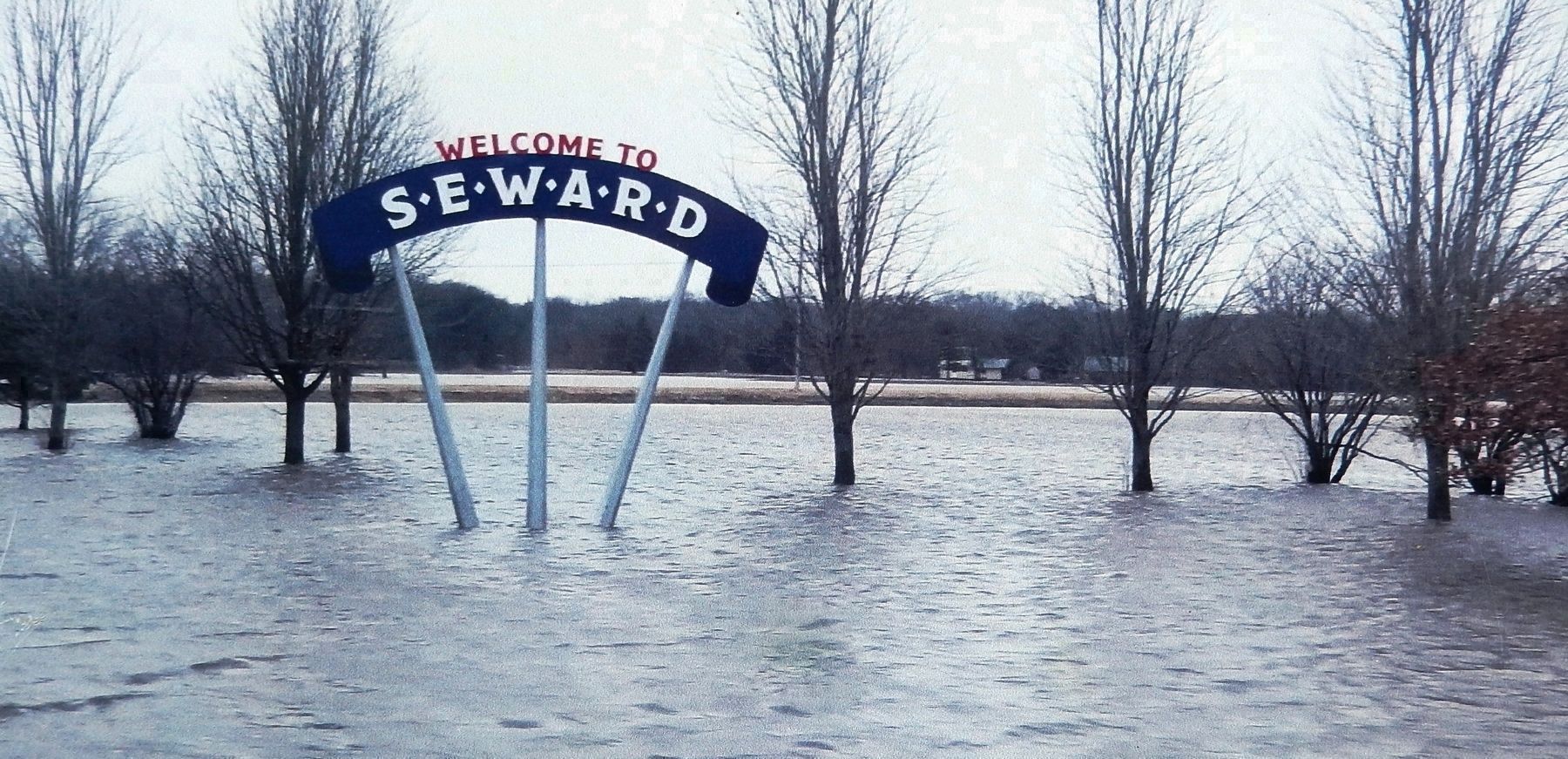
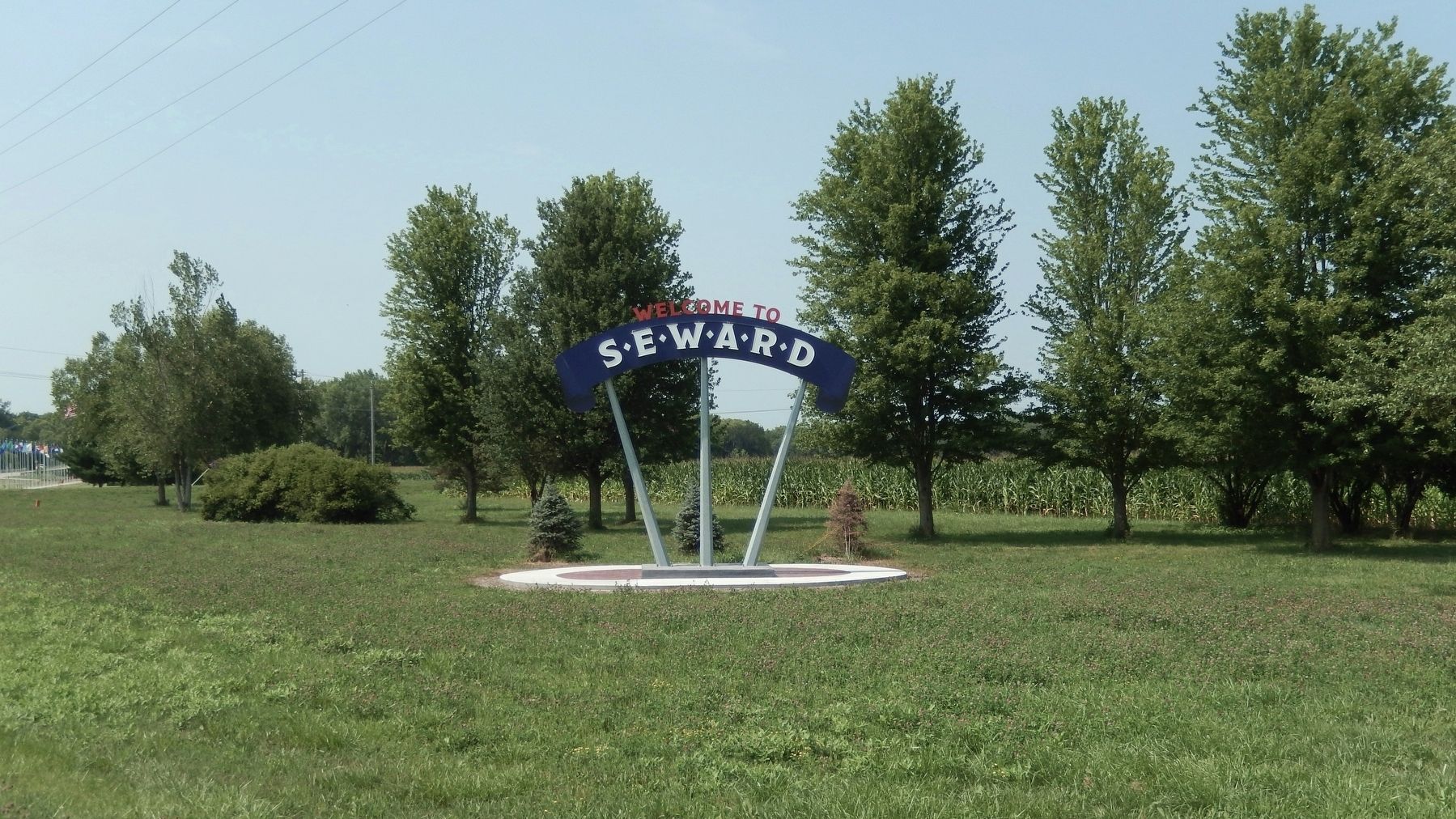
5. Marker detail: Welcome to Seward Sign, March 14, 2019
"Seward flooding continues"
Wayne Daily News website entry
Click for more information.
Credits. This page was last revised on November 26, 2022. It was originally submitted on September 17, 2021, by Cosmos Mariner of Cape Canaveral, Florida. This page has been viewed 204 times since then and 18 times this year. Photos: 1, 2. submitted on September 17, 2021, by Cosmos Mariner of Cape Canaveral, Florida. 3. submitted on March 12, 2022, by Larry Gertner of New York, New York. 4, 5. submitted on September 17, 2021, by Cosmos Mariner of Cape Canaveral, Florida.
