Florence in Stewart County, Georgia — The American South (South Atlantic)
Florence
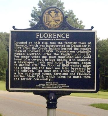
Photographed by David Seibert, November 14, 2004
1. Florence Marker
Photographed at its original location on Florence State Park Marina Road.
Erected 1992 by Historic Chattachooche Commission, Georgia Department of Natural Resources and Stewart County.
Topics. This memorial is listed in these topic lists: Indigenous Peoples and Communities • Wars, US Indian. A significant historical month for this entry is December 1836.
Location. 32° 5.298′ N, 85° 2.522′ W. Memorial is in Florence, Georgia, in Stewart County. It can be reached from Florence Road 0.1 miles west of Georgia Route 39, on the right when traveling north. Marker is located in front of the
this page online

Regionally, this memorial is on the Coastal Plain. It is also in the American South and specifically in the Deep South. Globally, it is in North America, the Western Hemisphere, the Western World, and the Anglosphere. Historically, it finds itself in what was once the territory of the Mississippian Culture, one of the original Thirteen Colonies, one of the Confederate States of America, and the Antebellum South.
Other nearby markers. At least 8 other markers are within 10 miles of this marker, measured as the crow flies: Battle of Shepherd’s Plantation (approx. 1.1 miles away); Fort Jones (approx. 2 miles away); Fort McCreary – 1836 (approx. 4.1 miles away); Indian Trail (approx. 5½ miles away); Providence United Methodist Church (approx. 7.8 miles away); Rev. David Walker Lowe (approx. 8.2 miles away); Glennville (approx. 8½ miles away in Alabama); Spanish Fort, 1689-1691 (approx. 9.4 miles
Photographed by James L.Whitman, January 1, 1980
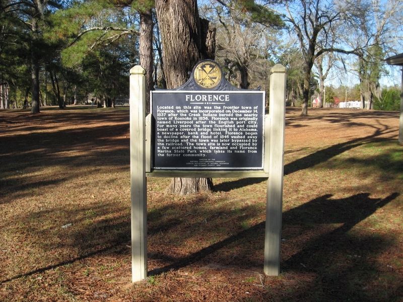
2. Florence Marker
Another marker is no longer nearby. Roanoke (was approx. 2.7 miles away but has been confirmed missing).
More about this memorial. Marker was originally located near 32° 5.29′ N, 85° 2.551′ W. on Florence Road. It was likely moved to this new location around 2011.
Photographed by David Seibert, August 13, 2011
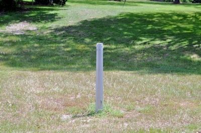
3. Florence Marker
The pole on which the marker formerly stood. It was subsequently moved to this location.
Photographed by James L.Whitman, January 1, 1980
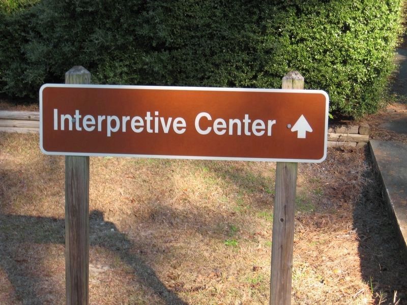
4. Current location of the Florence Marker
The marker is currently (January 2021) at the location of this sign.
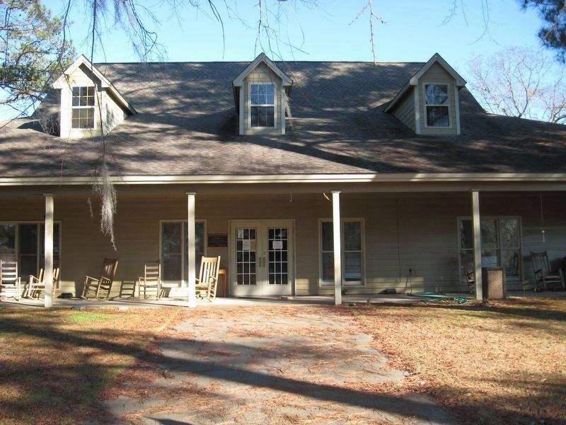
Photographed by James L.Whitman, January 1, 1980
5. Interpretive Center at the Florence Marina State Park
Credits. This page was last revised on September 20, 2021. It was originally submitted on August 6, 2008, by David Seibert of Sandy Springs, Georgia. This page has been viewed 2,724 times since then and 99 times this year. Last updated on September 19, 2021, by James L.Whitman of Eufaula, Alabama. Photos: 1. submitted on August 6, 2008, by David Seibert of Sandy Springs, Georgia. 2. submitted on January 5, 2021, by James L.Whitman of Eufaula, Alabama. 3. submitted on August 20, 2011, by David Seibert of Sandy Springs, Georgia. 4, 5. submitted on January 5, 2021, by James L.Whitman of Eufaula, Alabama. • Bernard Fisher was the editor who published this page.
