Santa Fe in Santa Fe County, New Mexico — The American Mountains (Southwest)
1598-1890
Photographed by J. Makali Bruton, August 24, 2021
1. 1598-1890 Marker
1598-1890
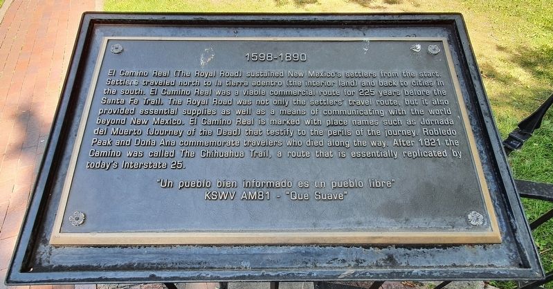
El Camino Real (The Royal Road) sustained New Mexico's settlers from the start. Settlers traveled north to la tierra adentro (the interior land) and back to cities in the south. El Camino Real was a viable commercial route for 225 years before the Santa Fe Trail. The Royal Road was not only the settlers' travel route, but it also provided essential supplies as well as a means of communicating with the world beyond New Mexico. El Camino Real is marked with place names such as Jornada del Muerto (Journey of the Dead) that testify to the perils of the journey. Robledo Peak and Doña Ana commemorate travelers who died along the way. After 1821 the Camino was called The Chihuahua Trail, a route that is essentially replicated by today's Interstate 25.
"Un pueblo bien informado es un pueblo libre"
KSWV AM81 - "Que Suave"
Topics and series. This historical marker is listed in these topic lists: Colonial Era • Industry & Commerce • Roads & Vehicles • Settlements & Settlers. In addition, it is included in the El Camino Real de Tierra Adentro series list. A significant historical year for this entry is 1821.
Location. 35° 41.218′ N,
this page online

Regionally, this marker is in Northern New Mexico. It is also in the American Southwest, in the Mountain West, and on the Santa Fe Trail Corridor. Globally, it is in North America, the Rocky Mountains, the Western Hemisphere, the Western World, and the Anglosphere. Historically, it finds itself in what was once New Spain and also the Republic of Texas.
Other nearby markers. At least 8 other markers are within walking distance of this marker: The Labyrinth (a few steps from this marker); 1598 (within shouting distance of this marker); 1583 (within shouting distance of this marker); 1540 (within shouting distance of this marker); Santa Fe Cathedral Park and Monument (within shouting distance of this marker); a different marker also named 1598 (within shouting distance of this marker); Kateri Tekakwitha (within shouting distance of this marker); 1848 (within shouting distance of this marker).
Photographed by J. Makali Bruton, August 24, 2021
2. 1598-1890 Marker
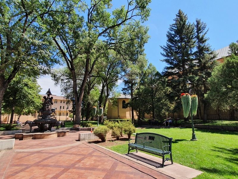
The marker is the fifth of eight markers in a semi-circle just north of the cathedral. In this view the markers can be seen to the far right.
Another marker is no longer nearby. Don Diego de Vargas Zapata Luján Ponce de León, El Marques de la Nava de Barcinas (was a few steps from this marker but has been permanently removed).
Credits. This page was last revised on September 22, 2021. It was originally submitted on September 22, 2021, by J. Makali Bruton of Washington, District of Columbia. This page has been viewed 307 times since then and 9 times this year. Photos: 1, 2. submitted on September 22, 2021, by J. Makali Bruton of Washington, District of Columbia.
