Montgomery in Montgomery County, Alabama — The American South (East South Central)
Resistance and War / Alabama Fever
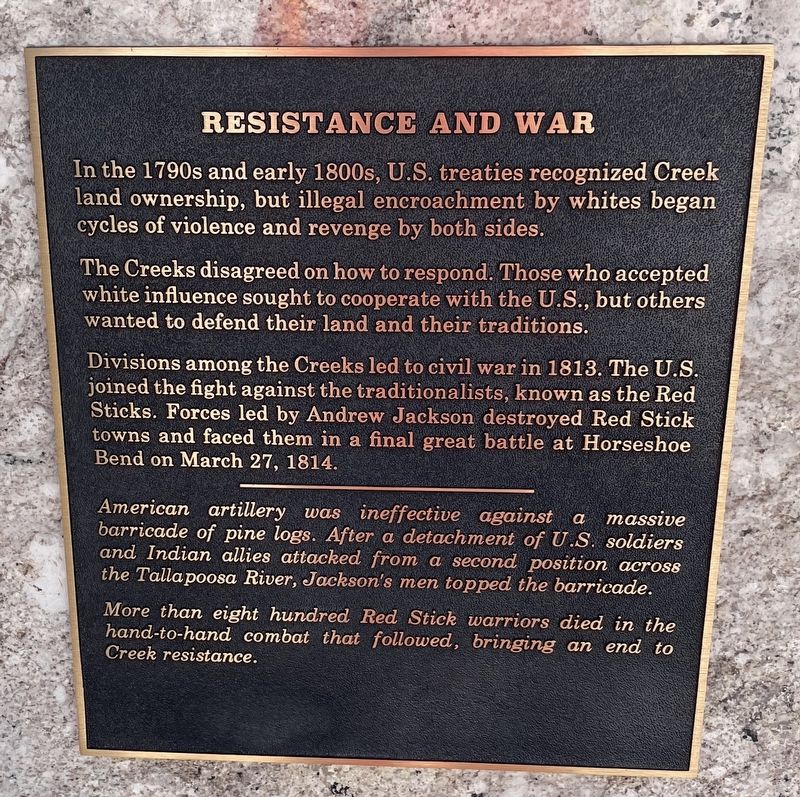
The Creeks disagreed on how to respond. Those who accepted white influence sought to cooperate with the U.S., but others wanted to defend their land and their traditions.
Divisions among the Creeks led to civil war in 1813. The U.S. joined the fight against the traditionalists, known as the Red Sticks. Forces led by Andrew Jackson destroyed Red Stick towns and faced them in a final great battle at Horseshoe Bend on March 27, 1814.
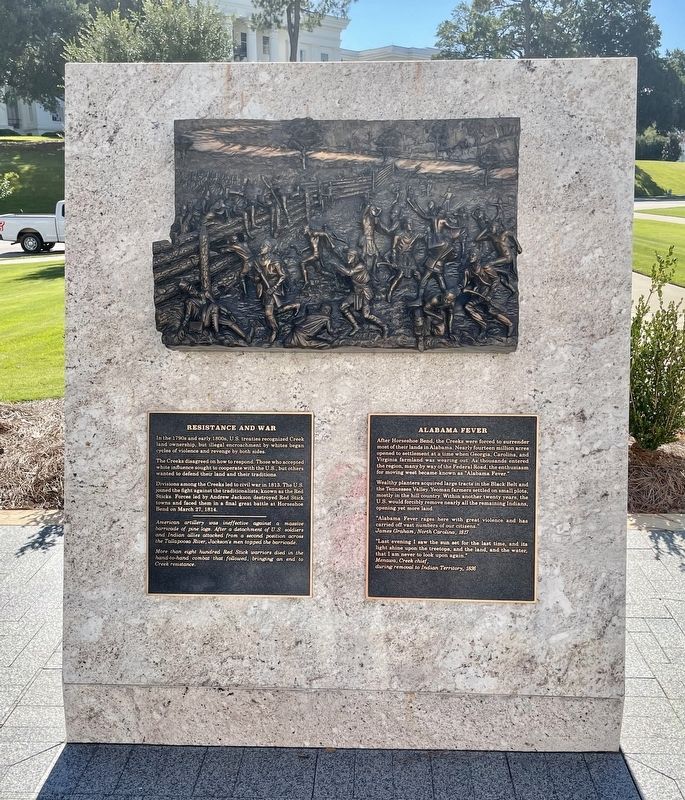
American artillery was ineffective against a massive barricade of pine logs. After a detachment of U.S. soldiers and Indian allies attacked from a second position across the Tallapoosa River, Jackson's men topped the barricade.
More than eight hundred Red Stick warriors died in the hand-to-hand combat that followed, bringing an end to Creek resistance.
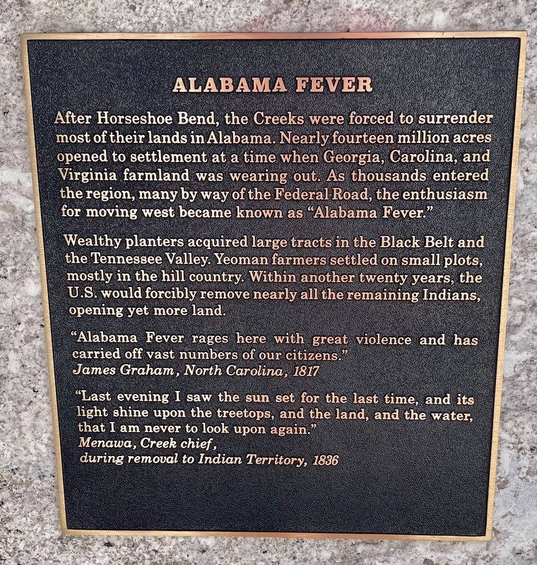
Wealthy planters acquired large tracts in the Black Belt and the Tennessee Valley. Yeoman farmers settled on small plots, mostly in the hill country. Within another twenty years, the U.S. would forcibly remove nearly all the remaining Indians, opening yet more land.
“Alabama Fever rages here with great violence and has carried off vast numbers of our citizens.”
James Graham, North Carolina, 1817
“Last evening I saw the sun set for the last time, and its light shine upon the treetops, and the land, and the water, that I am never to look upon again." Menawa, Creek chief,
during removal to Indian Territory, 1836
Erected 2019 by the Alabama Bicentennial Commission.
Topics. This historical marker is listed in these topic lists: Native Americans • Wars, US Indian. A significant historical date for this entry is March 27, 1814.
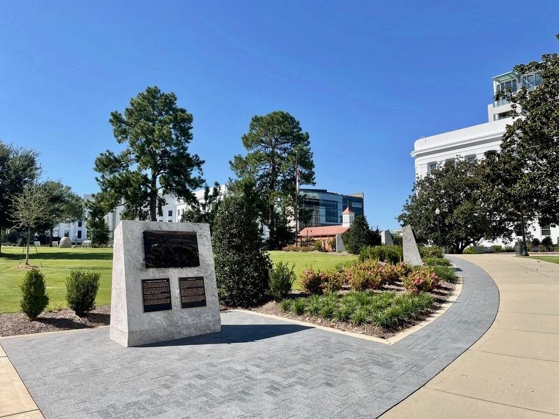
Location. 32° 22.697′ N, 86° 18.102′ W. Marker is in Montgomery, Alabama, in Montgomery County. Marker can be reached from the intersection of North Bainbridge Street and Dexter Avenue. Located in Alabama Bicentennial Park in front of the Lurleen B. Wallace Office Building. Touch for map. Marker is at or near this postal address: 500 Dexter Ave, Montgomery AL 36130, United States of America. Touch for directions.
Other nearby markers. At least 8 other markers are within walking distance of this marker. Alabama Territory / Path to Statehood (a few steps from this marker); Alabama's First Peoples / Creek Country (a few steps from this marker); Cotton State / Slavery (a few steps from this marker); Alabama Bicentennial Park / Ancient Sea (within shouting distance of this marker); Secession & Confederacy / Civil War (within shouting distance of this marker); George Washington (within shouting distance of this marker); Emancipation / Reconstruction (within shouting distance of this marker); Industrialization / Iron Boom (within shouting distance of this marker). Touch for a list and map of all markers in Montgomery.
Credits. This page was last revised on September 27, 2021. It was originally submitted on September 26, 2021, by Mark Hilton of Montgomery, Alabama. This page has been viewed 209 times since then and 41 times this year. Photos: 1, 2, 3, 4. submitted on September 26, 2021, by Mark Hilton of Montgomery, Alabama.


