Mount Vernon near Alexandria in Fairfax County, Virginia — The American South (Mid-Atlantic)
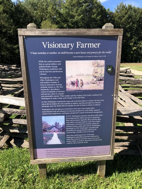
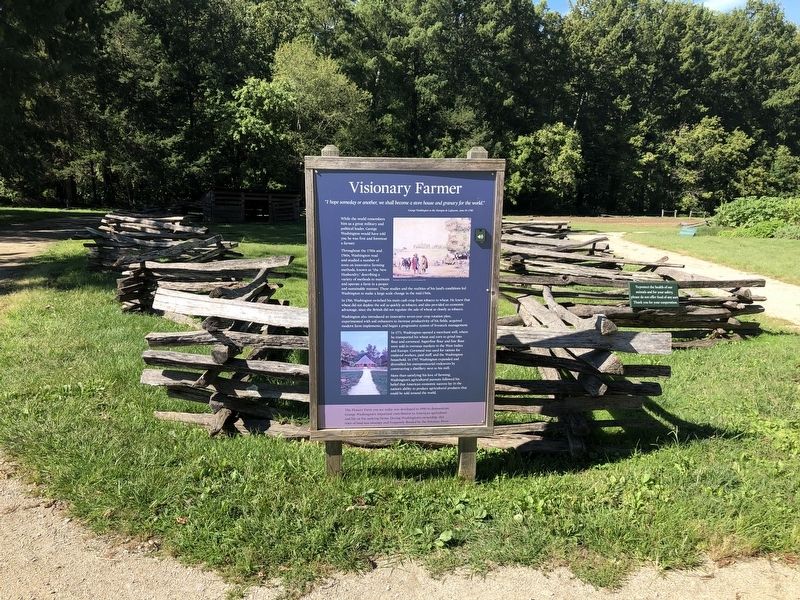
Visionary Farmer
"I hope someday or another, we shall become a store house and granary for the world."
George Washington to the Marquis de Lafayette, June 19, 1788
While the world remembers him as a great military and political leader, George Washington would have told you he was first and foremost a farmer.
Throughout the 1750s and 1760s, Washington read and studied a number of texts on innovative farming methods, known as "the New Husbandry," describing a variety of methods to maintain and operate a farm in a proper and sustainable manner. These studies and the realities of his land's conditions led Washington to make a large scale change in the mid-1760s.
In 1766, Washington switched his main cash crop from tobacco to wheat. He knew that wheat did not deplete the soil as quickly as tobacco, and also provided an economic advantage, since the British did not regulate the sale of wheat as closely as tobacco.
Washington also introduced an innovative seven-year crop rotation plan, experimented with soil enhancers to increase productivity of his fields, acquired modern farm implements, and began a progressive system of livestock management.
In 1771, Washington opened a merchant mill, where he transported his wheat and corn to grind into flour and cornmeal. Superfine flour and fine flour were sold in overseas markets in the West Indies and Europe. Cornmeal was used for rations for enslaved workers, paid staff, and the Washington household. In 1797, Washington expanded and diversified his entrepreneurial endeavors by constructing a distillery next to his mill.
More than satisfying his love of farming, Washington's agricultural pursuits followed his belief that American economic success lay in the nation's ability to produce agricultural products that could be sold around the world.
The Pioneer Farm you see today was developed in 1990 to demonstrate George Washington's important contribution to American agriculture and life on his outlying farms. During Washington's ownership, this tract of land was swampy and frequently flooded by the Potomac River.
Topics and series. This historical marker is listed in these topic lists: Agriculture • Industry & Commerce • Waterways & Vessels. In addition, it is included in the Former U.S. Presidents: #01 George Washington series list. A significant historical date for this entry is June 19, 1788.
Location. 38° 42.308′ N, 77° 5.343′ W. Marker is near Alexandria, Virginia, in Fairfax County. It is in Mount Vernon. Marker can be reached from the intersection of George Washington Memorial Parkway and Mount Vernon Highway (Virginia
Other nearby markers. At least 8 other markers are within walking distance of this marker. Sundries Field (within shouting distance of this marker); Batteau Construction Project (within shouting distance of this marker); George Washington's Fisheries (within shouting distance of this marker); Batteau Design (within shouting distance of this marker); Punt (within shouting distance of this marker); The Potomac Watershed (within shouting distance of this marker); Preserving the Viewshed (within shouting distance of this marker); a different marker also named George Washington's Fisheries (within shouting distance of this marker). Touch for a list and map of all markers in Alexandria.
Credits. This page was last revised on January 27, 2023. It was originally submitted on September 27, 2021, by Devry Becker Jones of Washington, District of Columbia. This page has been viewed 129 times since then and 10 times this year. Photos: 1, 2. submitted on September 27, 2021, by Devry Becker Jones of Washington, District of Columbia.

