Taylor Ranch in Albuquerque in Bernalillo County, New Mexico — The American Mountains (Southwest)
Petroglyph Orientation - Cliff Base Trail
Boca Negra Canyon
Inscription.
Boca Negra Canyon
Cliff Base Trail
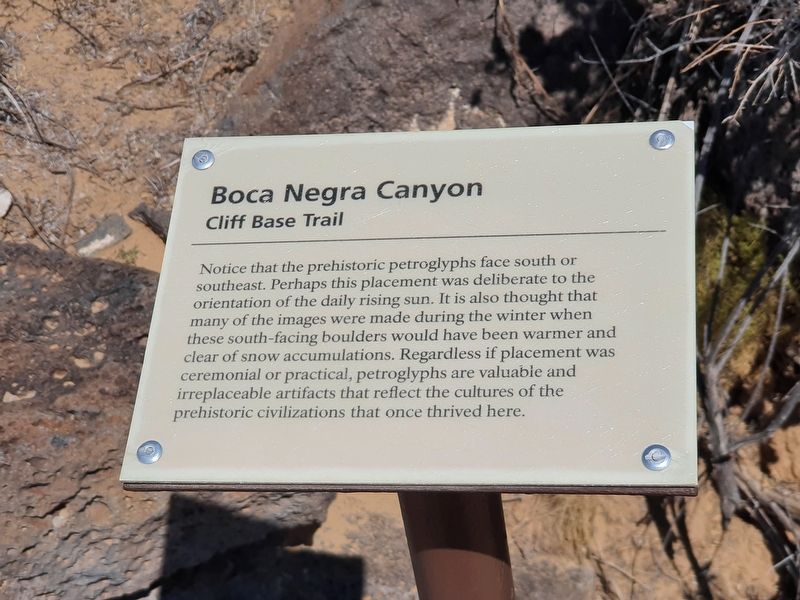
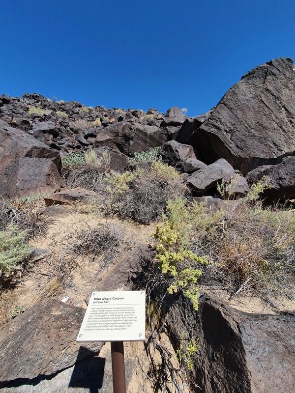
Notice that the prehistoric petroglyphs face south or southeast. Perhaps this placement was deliberate to the orientation of the daily rising sun. It is also thought that many of the images were made during the winter when these south-facing boulders would have been warmer and clear of snow accumulations. Regardless if placement was ceremonial or practical, petroglyphs are valuable and irreplaceable artifacts that reflect the cultures of the prehistoric civilizations that once thrived here.
Topics. This historical marker is listed in these topic lists: Anthropology & Archaeology • Native Americans.
Location. 35° 9.723′ N, 106° 43.122′ W. Marker is in Albuquerque, New Mexico, in Bernalillo County. It is in Taylor Ranch. Marker is on Cliff Base Trail east of Atrisco Drive NW. The marker is along the Cliff Base Trail at Boca Negra Canyon. Touch for map. Marker is in this post office area: Albuquerque NM 87120, United States of America. Touch for directions.
Other nearby markers. At least 8 other markers are within walking distance of this marker. Formation of Boca Negra Canyon - Cliff Base Trail (here, next to this marker); Reasons for Petroglyphs - Cliff Base Trail (a few steps from this marker); Estimating Petroglyph Age - Cliff Base Trail (a few steps from this marker); Formation of Basalt - Cliff Base Trail (within shouting distance of this marker); Petroglyph National Monument (within shouting distance of this marker); Petroglyph Meanings - Cliff Base Trail (within shouting distance of this marker); Petroglyph Placement - Cliff Base Trail (within shouting distance of this marker); Desert Varnish - Cliff Base Trail (within shouting distance of this marker). Touch for a list and map of all markers in Albuquerque.
Credits. This page was last revised on February 2, 2023. It was originally submitted on September 30, 2021, by J. Makali Bruton of Accra, Ghana. This page has been viewed 118 times since then and 10 times this year. Photos: 1, 2. submitted on September 30, 2021, by J. Makali Bruton of Accra, Ghana.

