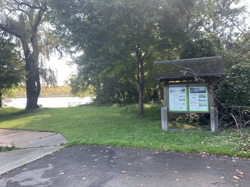
Near Athens in Greene County, New York — The American Northeast (Mid-Atlantic)
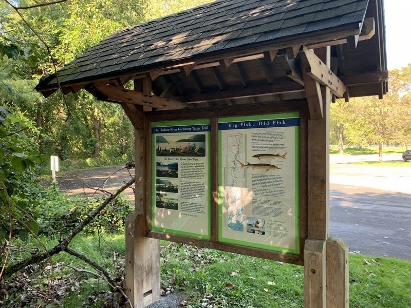
The Hudson River Greenway Water Trail
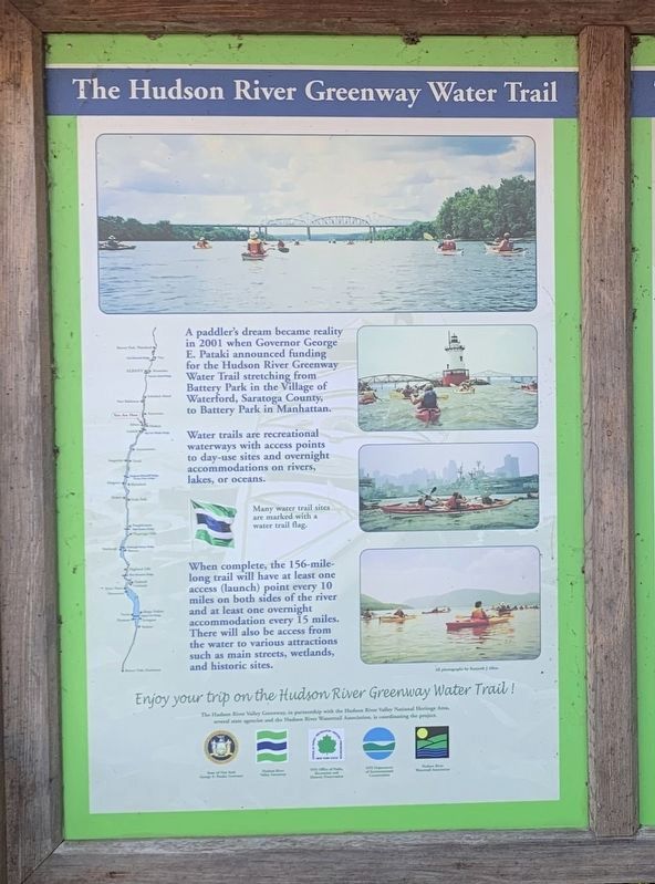
A paddler's dream became reality in 2001 when Governor George E. Pataki announced funding for the Hudson River Greenway Water Trail stretching from Battery Park in the Village of Waterford, Saratoga County, to Battery Park in Manhattan.
Water trails are recreational waterways with access points to day-use sites and overnightaccommodations on rivers, lakes, or oceans.
When complete, the 156-mile-long trail will have at least one access (launch) point every 10 miles on both sides of the river and at least one overnight accommodation every 15 miles. There will also be access from the water to various attractions such as main streets, wetlands, and historic sites.
Enjoy your trip on the Hudson River Greenway Water Trail!
The Hudson River Valley Greenway, in partnership with the Hudson River Valley National Heritage Area, several state agencies and the Hudson River Watertrail Association, is coordinating the project.
Many water trail sites are marked with a water trail flag. All photographs by Kenneth J. Allen.
Safety Information
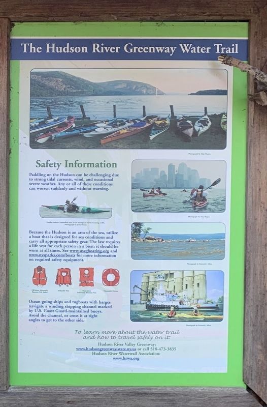
Paddling on the Hudson can be challenging due to strong tidal currents, wind, and occasional severe weather. Any or all of these conditions can worsen suddenly and without warning.
Because the Hudson is an arm of the sea, utilize a boat that is designed for sea conditions and carry all appropriate safety gear. The law requires a life vest for each person in a boat; it should be worn at all times. See www.uscgboating.org and www.nysparks.com/boats for more information on required safety equipment.
Ocean-going ships and tugboats with barges navigate a winding shipping channel marked by U.S. Coast Guard-maintained buoys. Avoid the channel, or cross it at right angles to get to the other side.
To learn more about the water trail and how to travel safely on it:
Hudson River Valley Greenway:
www.hudsongreenway.state.ny.us or call 518-473-3835
Hudson River Watertrail Association:
www.hrwa.org
The River That Flows Two Ways
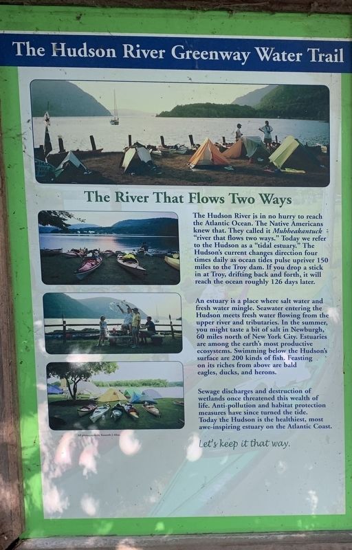
The Hudson River is in no hurry to reach the Atlantic Ocean. The Native Americans knew that. They called it Muhbeakantuck : "river that flows two ways.” Today we refer to the Hudson as a “tidal estuary.” The Hudson's current changes direction four times daily as ocean tides pulse upriver 150 miles to the Troy dam. If you drop a stick in at Troy, drifting back and forth, it will reach the ocean roughly 126 days later.
An estuary is a place where salt water and fresh water mingle. Seawater entering the Hudson meets fresh water flowing from the upper river and tributaries. In the summer, you might taste a bit of salt in Newburgh, 60 miles north of New York City. Estuaries are among the earth's most productive ecosystems. Swimming below the Hudson's surface are 200 kinds of fish. Feasting on its riches from above are bald eagles, ducks, and herons.
Sewage discharges and destruction of wetlands once threatened this wealth of life. Anti-pollution and habitat protection measures have since turned the tide. Today the Hudson is the healthiest, most awe-inspiring estuary on the Atlantic Coast.
Let's keep it that way.
All photographs by Kenneth J Allen.
Big Fish, Old Fish
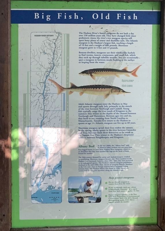
The Hudson River's famed sturgeons do not look a day over 150 million years old. They have changed little since prehistoric times; the river's two sturgeon species still sport bony plates of armor and sharklike tails. The Atlantic sturgeon is the Hudson's largest fish, reaching a length of 14 feet and a weight of 800 pounds. Shortnose sturgeon grow to 4 feet and 15 pounds.
Bottom-dwellers, sturgeons use their whiskerlike barbels to find worms, insects, crustaceans, and small fish, which they suck up through tubelike mouths. You can occasionally spot a sturgeon in between meals, basking at the surface or leaping from the water.
Adult Atlantic sturgeon enter the Hudson in May and spawn through early July, primarily in the stretch of the river between Newburgh and Catskill. Young fish typically range the river south of Kingston in the summer; they winter in the depths of the channel between Newburgh and Haverstraw. Between ages two and six, they head to sea, roaming from North Carolina to Massachusetts. Females first return to the Hudson to spawn at age 14. Atlantic sturgeon can live up to 60 years.
Shortnose sturgeon spend their lives within the estuary. In the spring, adults spawn in the river between Coxsackie and Troy. Summer finds them downriver as far south as the Tappan Zee. They winter in the Hudson's deepwater habitats between Poughkeepsie and Kingston.
Albany Beef
In the late 1800s, the "Albany beef” sold in Hudson Valley markets was not meat from four-legged beasts. It came from Hudson River sturgeons, which were so abundant that they were stacked like logs on the decks of boats bound for market.
The 20th-century demand for caviar and smoked sturgeon resulted in overfishing. Shortnose sturgeon became rare. Their numbers in the Hudson have increased, however, since 1967, when they were protected as an endangered species. The Hudson's Atlantic sturgeon population declined in the mid-1980s when closure of sturgeon fisheries elsewhere in the U.S. and a ban on foreign imports led to increased fishing pressure here. The Hudson fishery was closed in 1996. Today you cannot fish for sturgeon anywhere along the Atlantic coast.
Help protect sturgeons:
· Do not disturb sturgeon or remove them from the water.
· If you accidentally catch one, release it immediately. Possession of sturgeon from New York waters is against the law.
· Report sturgeon sightings to the New York State Department of Environmental Conservation, (845) 256-3072. Record distinguishing marks. If the fish is tagged, include the number.
Erected by Hudson River Valley Greenway, Hudson River Valley National Heritage Area, New York State.
Topics. This historical marker is listed in these topic lists: Parks & Recreational Areas • Waterways & Vessels. A significant historical year for this entry is 2001.
Location. 42° 16.354′ N, 73° 48.108′ W. Marker is near Athens, New York, in Greene County. Marker can be reached from North Washington Street (New York State Route 385) 0.2 miles north of Union Street. Touch for map. Marker is in this post office area: Athens NY 12015, United States of America. Touch for directions.
Other nearby markers. At least 8 other markers are within 2 miles of this marker, measured as the crow flies. Zion Lutheran Church (approx. 0.3 miles away); A. Van Loon House (approx. 0.4 miles away); Steamboat Disaster (approx. 0.7 miles away); Pride Flag (approx. 0.9 miles away); Northrup House (approx. 1.1 miles away); Jan Van Loon House (approx. 1.2 miles away); Athens Veterans Memorial (approx. 1.2 miles away); Hudson, New York (approx. 1.3 miles away). Touch for a list and map of all markers in Athens.
Also see . . .
1. Hudson River Greenway. (Submitted on October 1, 2021, by Steve Stoessel of Niskayuna, New York.)
2. Hudson River Waterway Association. (Submitted on October 1, 2021, by Steve Stoessel of Niskayuna, New York.)
Credits. This page was last revised on October 8, 2021. It was originally submitted on September 30, 2021, by Steve Stoessel of Niskayuna, New York. This page has been viewed 155 times since then and 23 times this year. Photos: 1, 2, 3, 4, 5, 6. submitted on September 30, 2021, by Steve Stoessel of Niskayuna, New York. • Bill Pfingsten was the editor who published this page.
