Near Orick in Humboldt County, California — The American West (Pacific Coastal)
The Redwood Highway
Newton B. Drury Scenic Parkway
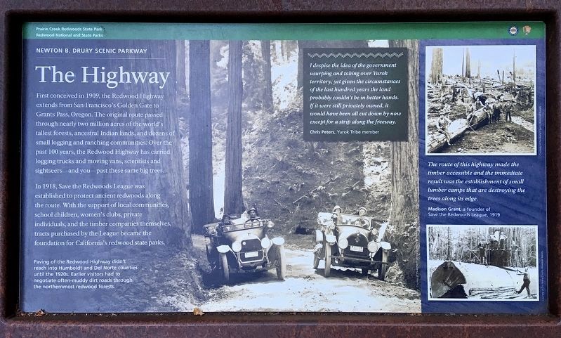
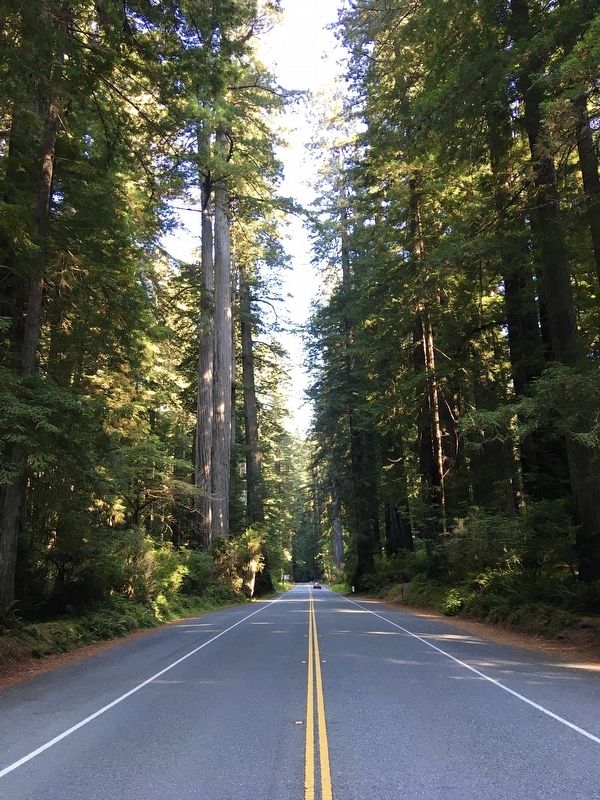
First conceived in 1909, the Redwood Highway extends from San Francisco's Golden Gate to Grants Pass, Oregon. The original route passed through nearly two million acres of the world's tallest forests, ancestral Indian lands, and dozens of small logging and ranching communities. Over the past 100 years, the Redwood Highway has carried logging trucks and moving vans, scientists and sightseers - and you - past these same big trees.
In 1918, Save the Redwoods League was established to protect ancient redwoods along the route. With the support of local communities, school children, women's clubs, private individuals, and the timber companies themselves, tracts purchased by the League became the foundation for California's redwood state parks.
Paving of the Redwood Highway didn't reach into Humboldt and Del Norte counties until the 1920s. Earlier visitors had to negotiate often-muddy dirt roads through the northernmost redwood forests.
I despise the idea of the government usurping and taking over Yurok territory, yet given the circumstances of the last hundred years the land probably couldn't be in better hands. If it were still privately owned, it would have been all cut down by now except for a strip along the freeway.
- Chris Peters, Yurok Tribe member.
The route of this highway made the timber accessible and the immediate result was the establishment of small lumber camps that are destroying the trees along its edge.
- Madison Grant, a founder of Save the Redwoods League, 1919.
Erected by Redwood National and State Parks.
Topics. This historical marker is listed in these topic lists: Parks & Recreational Areas • Roads & Vehicles.
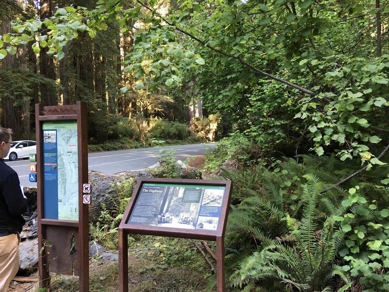
Location. 41° 22.56′ N, 124° 0.864′ W. Marker is near Orick, California, in Humboldt County. Marker is on Newton B Drury Scenic Parkway, 2 miles north of U.S. 101, on the right when traveling north. Marker is in Prairie Creek Redwoods State Park, north of Big Tree, where the hiking trail crosses the road. Touch for map. Marker is in this post office area: Orick CA 95555, United States of America. Touch for directions.
Other nearby markers. At least 7 other markers are within 12 miles of this marker, measured as the crow flies. The Forest for the Trees (approx. 0.2 miles away); The CCC at Prairie Creek (approx. 0.9 miles away); Madison Grant Forest and Elk Refuge (approx. 1.3 miles away); Big Diamond (approx. 6.4 miles away); Fort Terwer (approx. 9.4 miles away); Captain Courageous (approx. 10˝ miles away); The Tall Tree (approx. 11.6 miles away).
Credits. This page was last revised on October 3, 2021. It was originally submitted on October 2, 2021, by Craig Baker of Sylmar, California. This page has been viewed 570 times since then and 91 times this year. Photos: 1, 2, 3. submitted on October 2, 2021, by Craig Baker of Sylmar, California.


