Near Fancy Gap in Carroll County, Virginia — The American South (Mid-Atlantic)
The Agricultural Scene
Photographed by Cosmos Mariner, October 2, 2021
1. The Agricultural Scene Marker
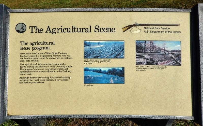
The agricultural lease program
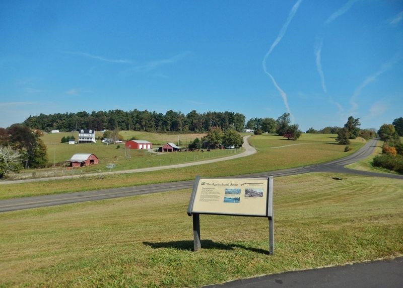
More than 4,000 acres of Blue Ridge Parkway lands are leased to neighboring farmers who use the land for pasture and for crops such as cabbage, corn, oats and hay.
The agricultural lease program began in the 1930s, during the Parkway's early planning stages. The program's intent is to preserve traditional Appalachian farm scenes adjacent to the Parkway motor road.
Although modern technology has altered farming methods, the rural scene remains a key aspect of the Parkway experience.
Erected by National Park Service, U.S. Department of the Interior.
Topics and series. This historical marker is listed in these topic lists: Agriculture • Parks & Recreational Areas. In addition, it is included in the Blue Ridge Parkway series list.
Location. 36° 37.635′ N, 80° 44.722′ W. Marker is near Fancy Gap, Virginia, in Carroll County. It is on Blue Ridge Parkway (at milepost 203.9), 2.2 miles north of Lambsburg Road (Virginia Route 620), on the right when traveling north. Marker is located at the Blue Ridge Parkway Piedmont Overlook. Touch for map.
this page online

Regionally, this marker is in Southwest Virginia and in the Blue Ridge Highlands. It is also in the American South, specifically in the Upper South, in Appalachia, and specifically in Southern Appalachia. Globally, it is in North America, the Western Hemisphere, the Western World, and the Anglosphere. Historically, it finds itself in what was once the territory of the Mississippian Culture, one of the original Thirteen Colonies, one of the Confederate States of America, and the Antebellum South.
Other nearby markers. At least 8 other markers are within 8 miles of this marker, measured as the crow flies: Mt. Airy Granite (approx. 1.2 miles away); James A. Williams, Jr. (approx. 4.4 miles away); The Crooked Road (approx. 4.4 miles away); Richard Milton Strauser (approx. 4.4 miles away); Welcome to the Blue Ridge National Heritage Area (approx. 4.7 miles away in North Carolina); The Stonemans (approx. 7.7 miles away); Woodlawn (approx. 7.7 miles away); Woodlawn School (approx. 8 miles away). Touch for a list and map

2. Marker detail: Row Crops
Agricultural leases are generally of three types: hay, pasture, and row crops.
Photographed by Cosmos Mariner, October 2, 2021
3. The Agricultural Scene Marker
4. Marker detail: Cattle
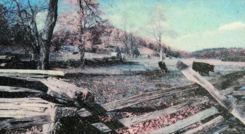
The cattle on this lease help complete a scene representative of both past and present.
Credits. This page was last revised on July 5, 2026. It was originally submitted on October 3, 2021, by Cosmos Mariner of Cape Canaveral, Florida. This page has been viewed 289 times since then and 14 times this year. Photos: 1, 2, 3, 4. submitted on October 3, 2021, by Cosmos Mariner of Cape Canaveral, Florida.
