East Harlem in Manhattan in New York County, New York — The American Northeast (Mid-Atlantic)
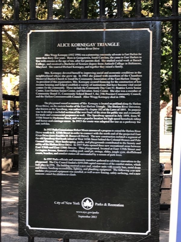
Alice Kornegay Triangle
Harlem River Drive
Alice Wragg Kornegay (1952 - 1996) was a pioneering community advocate in East Harlem for more than thirty five years. Born in Georgetown, South Carolina, she came to East Harlem to live with cousins at the age of ten, after her parents died. She studied social work at Baruch College, and received a of Science degree from Antioch College in Baltimore, Maryland. She married Richard Kornegay, and together they raised a family.
Mrs. Kornegay devoted herself to improving social and economic conditions in the neighborhood where she grew up. In 1961 she joined with members of the Chambers Memorial Baptist Church to found the Community Association of the East Harlem Triangle. As president of this organization, Mrs. Kornegay secured financing for the construction of low income housing and helped establish a variety of institutions that have become vital social centers for the community. These include the Community Day Care #2, Beatrice Lewis Senior Center, East Harlem Senior Center, and salvation Army Center. She also was a member of Community Board 11, Community School Board 5, the 25th Precinct Community Council, and the Harlem Commonwealth Council. Alice Wragg Kornegay died in 1996.
The playground named in memory of Mrs. Kornegay is located on parkland along the Harlem River Drive, on the eastern border of the East Harlem Triangle. The Harlem River Driveway, also known as the Speedway, was authorized by chapter 102 of the Laws of 1895. Its purpose was to develop a secluded section of the west bank of the river for public use and eventually for trade and commercial purposes as well. The Speedway opened in July 1898, from W. 155th Street to Dyckman Street, and was a popular location for high speed horseback riding and horse-and-carriage races. In 1915 the route was adapted for use as a parkway for automobiles.
In 1957 Parks Commissioner Robert Moses announced a program to extend the Harlem River Drive south to E. 125th Street in order to connect with the north end of the projected East River Drive (now Franklin D. Roosevelt Drive). The new construction isolated a segment of the old Speedway that heads inland at West 165th Street behind the Colonial Houses and Polo Ground Houses. New landscaping, parks, and playgrounds contributed to the beauty and utility of the Harlem River Drive. In 1957 Parks opened three new recreational areas between 126th and East 130th Streets. This playground, located at East 128th Street and Lexington Avenue, featured a wading pool, sand pit, swings, slides, jungle gym, shuffleboard courts, benches, and comfort station—all surrounded by a screen of park trees.
In 1997 Parks officials and community members gathered to celebrate renovations to the
Erected 2012 by City of New York Parks and Recreation.
Topics and series. This historical marker is listed in these topic lists: Charity & Public Work • Parks & Recreational Areas • Roads & Vehicles • Women. In addition, it is included in the NYC Parks series list. A significant historical month for this entry is July 1898.
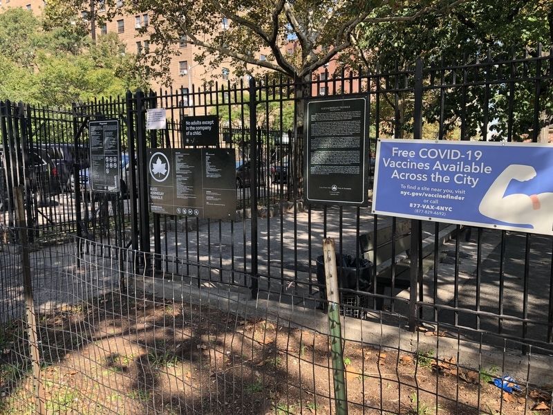
Location. 40° 48.381′ N, 73° 56.148′ W. Marker is in Manhattan, New York, in New York County. It is in East Harlem. Marker is at the intersection of East 128th Street and Lexington Avenue, on the left when traveling east on East 128th Street. Touch for map. Marker is at or near this postal address: 2129 Lexington Ave, New York NY 10035, United States of America. Touch for directions.
Other nearby markers. At least 8 other markers are within walking distance of this marker. The New York Age (approx. ¼ mile away); Langston Hughes House (approx. ¼ mile away); Village of Nieuw Haerlem (approx. 0.4 miles away); Willis Avenue Bridge (approx. 0.4 miles away); Harlem Art Park (approx. 0.4 miles away); Dr. Godfrey Nurse (approx. 0.4 miles away); Swing Bridges (approx. 0.4 miles away); The First Vest-Pocket Park (approx. 0.4 miles away). Touch for a list and map of all markers in Manhattan.
Credits. This page was last revised on January 31, 2023. It was originally submitted on October 4, 2021, by Devry Becker Jones of Washington, District of Columbia. This page has been viewed 247 times since then and 34 times this year. Photos: 1, 2. submitted on October 4, 2021, by Devry Becker Jones of Washington, District of Columbia.
Editor’s want-list for this marker. A clearer photo of the marker • Can you help?

