Jaral del Progreso, Guanajuato, Mexico — The Central Highlands (North America)
The Route of Hidalgo
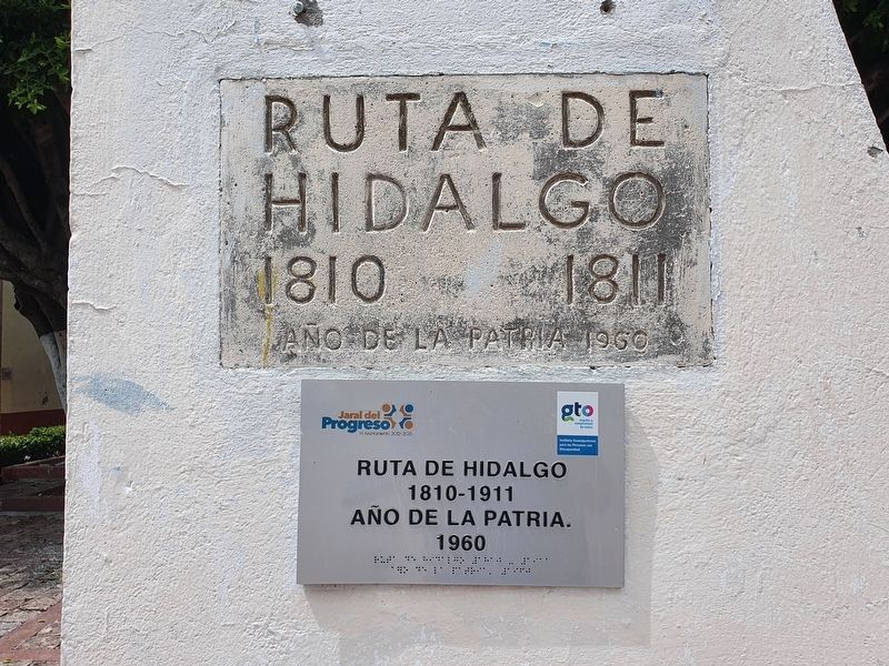
Inscription.
1810 1811
Año de la Patria
1960
The Route of Hidalgo
1810-1811
Year of the Nation
1960
Erected 1960.
Topics. This historical marker is listed in these topic lists: Civil Rights • Colonial Era • Patriots & Patriotism • Wars, Non-US. A significant historical year for this entry is 1810.
Location. 20° 22.479′ N, 101° 3.855′ W. Marker is in Jaral del Progreso, Guanajuato. Marker is at the intersection of Lic. Benito Juárez and Manuel Doblado Sur, on the left when traveling west on Lic. Benito Juárez. Touch for map. Marker is in this post office area: Jaral del Progreso GTO 38470, Mexico. Touch for directions.
Other nearby markers. At least 8 other markers are within 13 kilometers of this marker, measured as the crow flies. Friar Bernardo Padilla G. (a few steps from this marker); Parish Church of San Nicolás de Tolentino (within shouting distance of this marker); Benito Juárez (within shouting distance of this marker); Miguel Hidalgo y Costilla (within shouting distance of this marker); General Emiliano Zapata (within shouting distance of this marker); Professor Fulgencio Vargas Ortiz (about 210 meters away, measured in a direct line); Father Elías Nieves (approx. 12.1 kilometers away); Blessed Friar Elías del Socorro Nieves (approx. 12.1 kilometers away). Touch for a list and map of all markers in Jaral del Progreso.
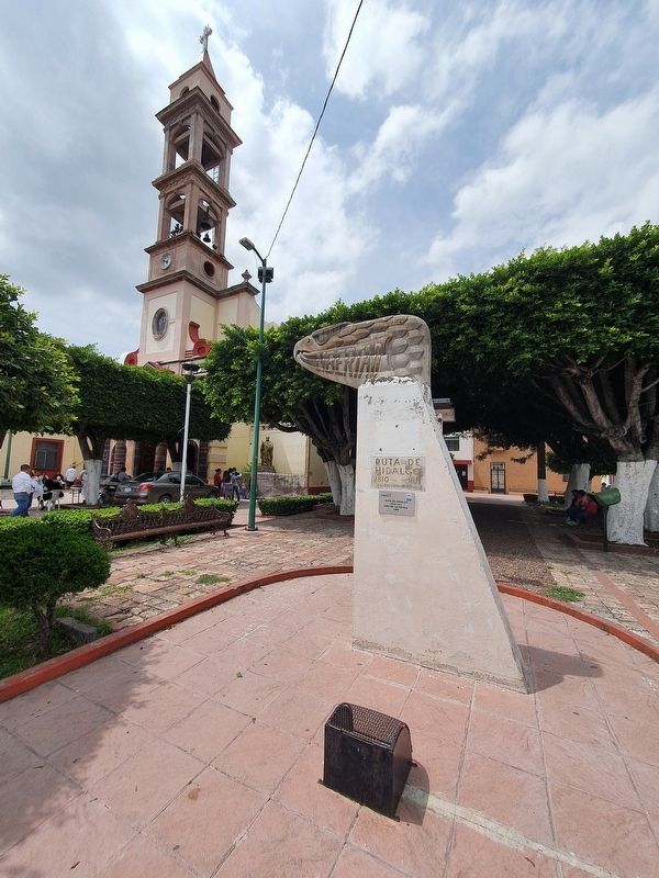
Regarding The Route of Hidalgo. In order to celebrate the 150th anniversary of the beginning of the struggle for Mexican Independence, the Mexican Secretary of Public Education erected 260 monuments similar to this one in 1960. They marked the Route of Hidalgo and his Insurgent Army from Dolores to Chihuahua, the place of his final sacrifice.
Hidalgo passed through here in November, 1810, when the town was known as Los López. He was invited to the home of Manuel Muñatones and ate there.
Credits. This page was last revised on October 5, 2021. It was originally submitted on October 5, 2021, by J. Makali Bruton of Accra, Ghana. This page has been viewed 96 times since then and 15 times this year. Photos: 1, 2. submitted on October 5, 2021, by J. Makali Bruton of Accra, Ghana.

