
Pensacola in Escambia County, Florida — The American South (South Atlantic)
Wells and Cellars
| — | Colonial Archaeological Trail | — |
Photographed by Mark Hilton, October 9, 2021
1. Wells and Cellars Marker
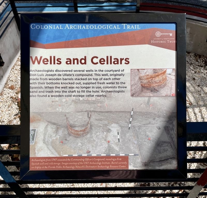
Archaeologists from UWF excavated the Commanding Officer's Compound, revealing a First Spanish well and cold storage. Images courtesy of the UWF Archaeology Institute. Barrel currently on display at the Florida Public Archaeology Network's Destination Archaeology Resource Center.
Erected by University of West Florida Historic Trust.
Topics. This historical marker is listed in these topic lists: Anthropology & Archaeology • Colonial Era.
Location. 30° 24.517′ N, 87° 12.759′ W. Marker is in Pensacola, Florida, in Escambia County. It can be reached from Zaragoza Street east of South Jefferson Street, on the left when traveling east. Located in Museum Plaza
this page online

Regionally, this marker is on the Florida Panhandle. It is also in the American South, specifically in the Deep South, and on the Gulf Coast. Globally, it is in the North Atlantic Region, North America, a Gulf of Mexico state, the Western Hemisphere, the Western World, and the Anglosphere. Historically, it finds itself in what was once New Spain, the territory of the Mississippian Culture, one of the Confederate States of America, and the Antebellum South.
Other nearby markers. At least 8 other markers are within walking distance of this marker: American Period (here, next to this marker); First Spanish Period (here, next to this marker); Colonial Cooking (here, next to this marker); Second Spanish Period (here, next to this marker); Archaeology in Pensacola (here, next to this marker); Commanding Officer's Compound (here, next to this marker); British Period (a few steps from this marker); Stop and Smell the Roses (a few steps from this marker). Touch for a list and map
Photographed by Mark Hilton, October 9, 2021
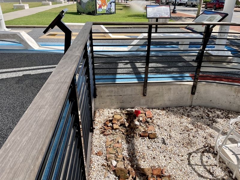
2. Edge of Wells and Cellars Marker on left, next to rail.
Other markers no longer nearby. The Commanding Officer's Compound (was a few steps from this marker but has been permanently removed); The End of the Colonial Era in Florida (was a few steps from this marker but has been permanently removed).
More about this marker. The Colonial Archaeological Trail is a collection of outdoor exhibits relating the Spanish, British, and American occupations of Pensacola. This interpretive trail highlights the rich deposits of colonial history and archaeology in the heart of downtown Pensacola.
Credits. This page was last revised on October 10, 2021. It was originally submitted on October 10, 2021, by Mark Hilton of Montgomery, Alabama. This page has been viewed 469 times since then and 38 times this year. Photos: 1, 2. submitted on October 10, 2021, by Mark Hilton of Montgomery, Alabama.
