Pensacola in Escambia County, Florida — The American South (South Atlantic)
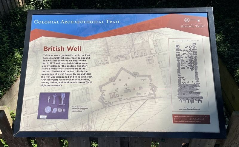
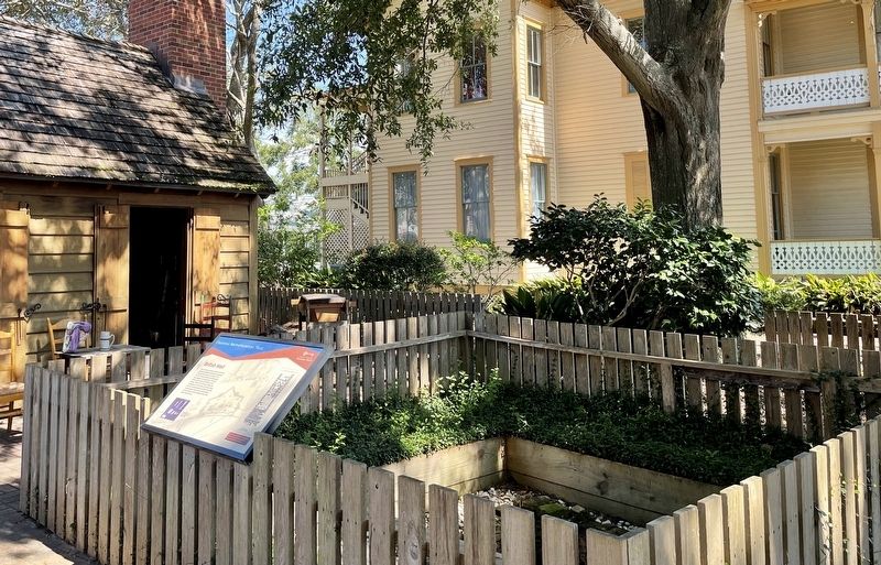
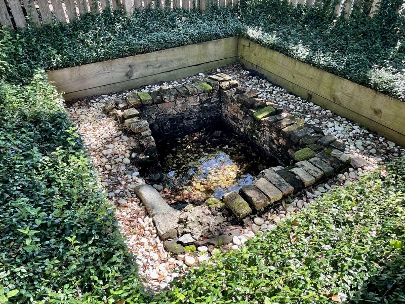
British Well
— Colonial Archaeological Trail —
A plan of Pensacola and its environs in its present state. from an actual survey in 1778, by Joseph Purcell. Image available at the library of Congress.
Wine glass fragments recovered from the British well excavations. Image courtesy of the UWF Archaeology Institute.
Erected by University of West Florida Historic Trust.
Topics. This historical marker is listed in these topic lists: Anthropology & Archaeology • Colonial Era. A significant historical year for this entry is 1778.
Location. 30° 24.536′ N, 87° 12.662′ W. Marker is in Pensacola, Florida, in Escambia County. Marker is on East Zaragoza Street east of South Tarragona Street, on the left when traveling east. Located within Old Pensacola Village. Touch for map . Marker is at or near this postal address: 203 E Zaragoza St, Pensacola FL 32502, United States of America. Touch for directions.
Other nearby markers. At least 8 other markers are within walking distance of this marker. Tivoli High House (within shouting distance of this marker); British Governor's House? (within shouting distance of this marker); Garrison's Kitchen (within shouting distance of this marker); Old Christ Church (within shouting distance of this marker); John Wesley Hardin (within shouting distance of this marker); Christ Church (within shouting distance of this marker); a different marker also named Christ Church (about 300 feet away, measured in a direct line); Defending a Coastal Colony (about 400 feet away). Touch for a list and map of all markers in Pensacola.
Regarding British Well. The Colonial Archaeological Trail is a collection of outdoor exhibits relating the Spanish, British, and American occupations of Pensacola. This interpretive trail highlights the rich deposits of colonial history and archaeology in the heart of downtown Pensacola.
Credits. This page was last revised on October 10, 2021. It was originally submitted on October 10, 2021, by Mark Hilton of Montgomery, Alabama. This page has been viewed 186 times since then and 15 times this year. Photos: 1, 2, 3. submitted on October 10, 2021, by Mark Hilton of Montgomery, Alabama.


