Chillicothe in Peoria County, Illinois — The American Midwest (Great Lakes)
Illinois River Road
National Scenic Byway
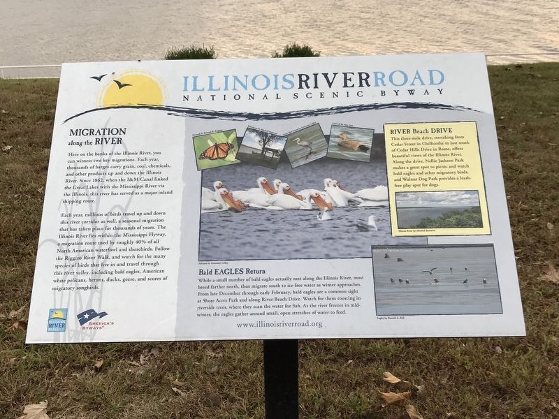
Here on the banks of the Illinois River, you can witness two key migrations. Each year, thousands of barges carry grain, coal, chemicals, and other products up and down the Illinois River. Since 1862, when the I&M Canal linked the Great Lakes with the Mississippi River via the Illinois, this river has served as a major inland shipping route.
Each year, millions of birds travel up and down this river corridor as well, a seasonal migration that has taken place for thousands of years. The Illinois River lies within the Mississippi Flyway, a migration route used by roughly 40% of all North American waterfowl and shorebirds. Follow the Riggins River Walk, and watch for the many species of birds that live in and travel through this river valley, including bald eagles, American white pelicans, herons, ducks, geese, and scores of migratory songbirds.
River Beach Drive
This three-mile drive, stretching from Cedar Street in Chillicothe to just south of Cedar Hills Drive in Rome, offers beautiful views of the Illinois River. Along the drive, Nellie Jackson Park makes a great spot to picnic and watch bald eagles and other migratory birds, and Walnut Dog Park provides a leash-free play spot for dogs.
Bald Eagles Return
While a small number of bald eagles actually nest along the Illinois River, most breed farther north, then migrate south to ice-free water as winter approaches. From late December through early February, bald eagles are a common sight at Shore Acres Park and along River Beach Drive. Watch for them roosting in riverside trees, where they scan the water for fish. As the river freezes in mid-winter, the eagles gather around small, open stretches of water to feed.
Captions (clockwise from top left
• Monarch by Edward K. Boggess.
• Riverfront by Mitchell Baalman.
• Great blue heron by Courtney Celley.
• Gadwall by Alex Galt.
• Illinois River by Mitchell Baalman.
• Eagles by Ronald L. Bell.
• Pelicans by Courtney Celley.
Erected by Illinois River Road National Scenic Byway • Federal Highway Administration.
Topics. This historical marker is listed in these topic lists: Animals • Industry & Commerce • Roads & Vehicles • Waterways & Vessels. A significant historical year for this entry is 1862.
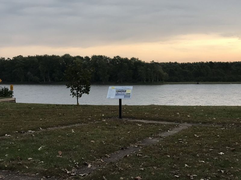
Location. 40° 54.252′ N, 89° 29.378′ W. Marker is in Chillicothe, Illinois, in Peoria County. Marker is on Park Boulevard, on the right when traveling north. Marker is in Shore Acres park, just north of the Peoria Automobile Club building. Touch for map. Marker is at or near this postal address: 100 Park Boulevard, Chillicothe IL 61523, United States of America. Touch for directions.
Other nearby markers. At least 8 other markers are within 11 miles of this marker, measured as the crow flies. Gomo — Leader of the Potawatomi (about 400 feet away, measured in a direct line); R. G. LeTourneau's Steel House (approx. 8.3 miles away); Peoria, Illinois (approx. 9 miles away); Robert Waugh House (approx. 9 miles away); Abraham Lincoln - Eighth Judicial District (approx. 10.2 miles away); Metamora (Illinois) Honor Roll (approx. 10.3 miles away); Stevenson House (approx. 10.3 miles away); Site of Speeches by Douglas and Lincoln (approx. 10˝ miles away).
Also see . . . Illinois River Road Scenic Byway. Website for the scenic road, with maps, historical and ecological details, and sample itineraries. (Submitted on October 11, 2021, by Duane and Tracy Marsteller of Murfreesboro, Tennessee.)
Credits. This page was last revised on October 11, 2021. It was originally submitted on October 11, 2021, by Duane and Tracy Marsteller of Murfreesboro, Tennessee. This page has been viewed 119 times since then and 13 times this year. Photos: 1, 2. submitted on October 11, 2021, by Duane and Tracy Marsteller of Murfreesboro, Tennessee.

