Near Arcadia Farm in Clarke County, Virginia — The American South (Mid-Atlantic)
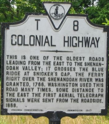
Colonial Highway
Erected 1947 by Virginia Conservation Commission. (Marker Number T-8.)
Topics and series. This historical marker is listed in these topic lists: Colonial Era • Roads & Vehicles. In addition, it is included in the Former U.S. Presidents: #01 George Washington, and the Virginia Department of Historic Resources (DHR) series lists. A significant historical year for this entry is 1766.
Location. 39° 7.774′ N, 77° 54.583′ W. Marker is near Arcadia Farm, Virginia, in Clarke County. Marker is at the intersection of Harry Byrd Highway (Virginia Route 7) and Quarry Road (Virginia Route 612), on the right when traveling east on Harry Byrd Highway. Touch for map. Marker is at or near this postal address: 3940 Harry Byrd Hwy, Berryville VA 22611, United States of America. Touch for directions.
Other nearby markers. At least 8 other markers are within 3 miles of this marker, measured as the crow flies. Castlemanís Ferry Fight (approx. 0.7 miles away); Battle of Cool Spring (approx. 0.9 miles away); The Retreat (approx. 1.3 miles away); a different marker also named Battle of Cool Spring (approx. 1.8 miles away); Col. George D. Wells Leads the Way (approx. 2.2 miles away); a different marker also named Battle of Cool Spring (approx. 2.2 miles away); Judge Parker's ďRetreatĒ & the Battle of Cool Spring (approx. 2.2 miles away); Confederate Counterattack and Union Retreat (approx. 2.2 miles away). Touch for a list and map of all markers in Arcadia Farm.

Photographed By Craig Swain, July 8, 2007
4. Snicker's Ford
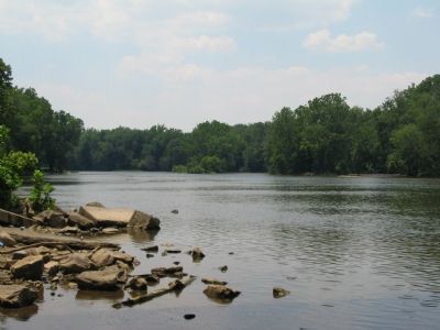
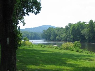
Just upstream from the modern day Harry Byrd Highway bridge and the historic site of Castelman's Ferry is Snicker's Ford, which served as an alternate crossing point for the Colonial Highway traffic. The boat ramp on the left is directly under the modern day bridge.
Credits. This page was last revised on October 11, 2020. It was originally submitted on July 22, 2007, by Craig Swain of Leesburg, Virginia. This page has been viewed 1,941 times since then and 44 times this year. Photos: 1, 2, 3, 4, 5. submitted on July 22, 2007, by Craig Swain of Leesburg, Virginia. • J. J. Prats was the editor who published this page.


