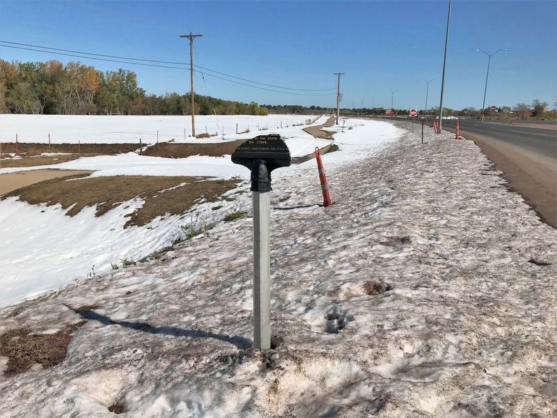
Sturgis in Meade County, South Dakota — The American Midwest (Upper Plains)
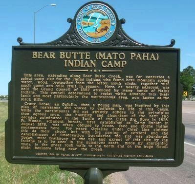
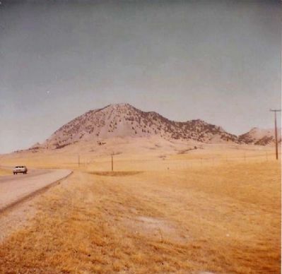
Bear Butte (Mato Paha) Indian Camp
Crazy Horse, an Oglalla, then a young man, was inspired by this plan of resistance and vowed to dedicate his life to this cause. While the participants did not strictly adhere to the principles then agreed upon, the hostility and discontent of the next two decades culminated in the Battle of the Little Big Horn in 1876. Ft. Meade, adjacent hereto, first established as Camp Ruhlen in August 1878, was often obliged to house, feed and clothe Indian encampments here. For years Oglallas under Chief Lips claimed this as their abode but with the coming of settlers and the establishment of Reservation boundaries the site was abandoned. Today, mute testimony to the use and extent of this site by the Indians is to be seen in the numerous scars, made by sharpening tools, in the great rock walls to the north and on the huge floodplain boulders lying near the Creek.
Erected 1959 by Meade County Commissioners and State Highway Commission. (Marker Number 239.)
Topics and series. This historical marker is listed in these topic lists: Native Americans • Settlements & Settlers • Wars, US Indian. In addition, it is included in the South Dakota State Historical Society Markers series list. A significant historical year for this entry is 1857.
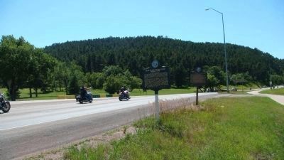
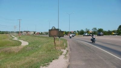
Location. 44° 24.715′ N, 103° 28.959′ W. Marker has been reported damaged. Marker is in Sturgis, South Dakota, in Meade County. Marker is on 206th Street (State Highway 34) near Custer Avenue, on the right when traveling west. Touch for map. Marker is in this post office area: Sturgis SD 57785, United States of America. Touch for directions.
Other nearby markers. At least 8 other markers are within 2 miles of this location, measured as the crow flies. Civilian Conservation Corps Camps (here, next to this marker); Charles D. Roberts (approx. 0.6 miles away); Fort Meade Museum (approx. 0.6 miles away); It Started Here (approx. 0.6 miles away); Fourth Cavalry Group Veterans Memorial (approx. 0.6 miles away); 8 Inch Towed Howitzer (M115) (approx. 0.6 miles away); Charles Nolin (approx. 0.6 miles away); a different marker also named Charles Nolin (approx. 1˝ miles away). Touch for a list and map of all markers in Sturgis.
Credits. This page was last revised on October 18, 2021. It was originally submitted on August 7, 2010, by William J. Toman of Green Lake, Wisconsin. This page has been viewed 1,457 times since then and 43 times this year. Last updated on October 17, 2021. Photos: 1, 2, 3. submitted on August 7, 2010, by William J. Toman of Green Lake, Wisconsin. 4. submitted on August 10, 2010, by Mike Stroud of Bluffton, South Carolina. 5. submitted on October 17, 2021. • Mark Hilton was the editor who published this page.
