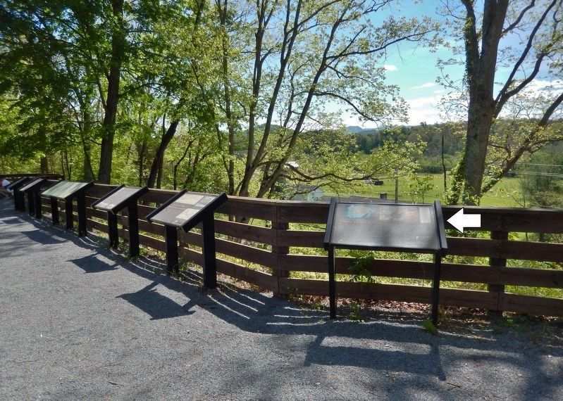
Johnson City in Washington County, Tennessee — The American South (East South Central)
Trail Geology
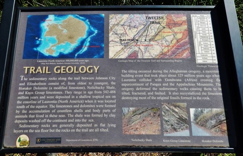
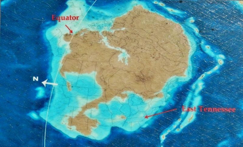
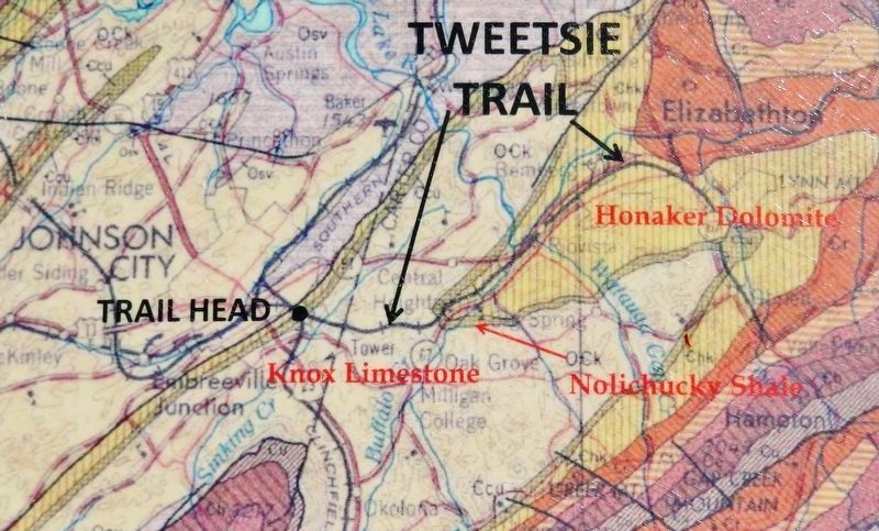
The sedimentary rocks along the trail between Johnson City and Elizabethton consist of, from oldest to youngest, the Honaker dolomite (a modified limestone), Nolichucky Shale, and Knox Group limestones. They range in age from 542-488 million years and were deposited in a shallow tropical sea on the coastline of Laurentia (North America) when it was located south of the equator. The limestones and dolomites were formed by the accumulation of countless shells and body parts of animals that lived in these seas. The shale was formed by clay deposits washed off the continent and into the sea.
Sedimentary rocks are generally deposited as flat lying layers on the sea floor but the rocks on the trail are all tilted. The tilting occurred during the Alleghanian orogeny, a mountain-building event that took place about 325 million years ago when Laurentia collided with Gondwana (Africa) creating the supercontinent of Pangea and the Appalachian Mountains. The orogeny deformed the sedimentary rocks causing them to be tilted, fractured, and faulted. It also recrystallized the limestone destroying most of the original fossils formed in the rock.
Erected by Department of Geosciences, East Tennessee State University.
Topics. This historical marker is listed in these topic lists: Paleontology • Science & Medicine.
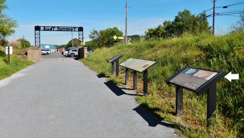
Location. 36° 18.889′ N, 82° 20.169′ W. Marker is in Johnson City, Tennessee, in Washington County. Marker can be reached from the intersection of Alabama Street and Legion Street. Marker is located on the Tweetsie Trail, just east of the Alabama Street trailhead and parking lot. Touch for map. Marker is in this post office area: Johnson City TN 37601, United States of America. Touch for directions.
Other nearby markers. At least 8 other markers are within walking distance of this marker. Story of the Tweetsie (here, next to this marker); Robins’ Roost (approx. 0.6 miles away); Passenger Service (approx. 0.6 miles away); A Narrow-Gauge Railroad (approx. 0.6 miles away); The Music of the Rails (approx. 0.6 miles away); Johnson City Sessions (approx. ¾ mile away); a different marker also named Johnson City Sessions (approx. ¾ mile away); John Sevier Hotel (approx. 0.8 miles away). Touch for a list and map of all markers in Johnson City.
More about this marker. An identical copy of this marker is located 2.9 miles east on the Tweetsie Trail.
Credits. This page was last revised on October 17, 2021. It was originally submitted on October 17, 2021, by Cosmos Mariner of Cape Canaveral, Florida. This page has been viewed 197 times since then and 46 times this year. Photos: 1, 2, 3, 4, 5, 6. submitted on October 17, 2021, by Cosmos Mariner of Cape Canaveral, Florida.
