Williamsburg, Virginia — The American South (Mid-Atlantic)
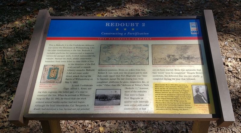
Redoubt 2
Constructing a Fortification
— 1862 Peninsula Campaign —
It took Confederate Capt. Alfred L. Rives, acting state engineer, the better part of a year to construct the line. When he arrived in Williamsburg on May 12, 1861, he found that the work ordered several weeks earlier had not begun. Although the local commander, Col. Benjamin S. Ewell, had surveyed a line, he had not yet selected defensive positions. Rives, on orders from Gen. Robert E. Lee, took over the project and by mid-July could report that Fort Magruder was "nearly finished, except the last closing line; front completed; platforms for guns, magazines, &c., in order." Other than the "defenses at Tutter's Neck [Redoubt 1]," however, most of the redoubts that were to flank Fort Magruder at quarter-mile intervals were either still under construction or had not yet been started. Rives was optimistic that they would "soon be completed." Despite Rives's prediction, the defensive line was not wholly completed during the year that followed.
(Sidebar)
Alfred Landon Rives (1830-1903) was born in Paris, France, when his father, William Cabell Rives, was the U.S. ambassador to France. Rives was educated in engineering at Virginia Military Institute, the University of Virginia, and the French government engineering school. By the time the Civil War began, he had worked on the Virginia Midland Railway, the U.S. Capitol, and the Cabin John Bridge across the Potomac River. During the war, he became acting chief of the Confederate Engineer Bureau. Afterward, he served as the engineer of several railroads in the U.S., Panama, and Mexico.
(captions)
Redoubt ("Camp Misery"), York County, 1862 Courtesy Library of Congress
Williamsburg Line, 1862 – Courtesy Library of Congress
Battery under construction, 1864 - Courtesy Library of Congress
Redoubt with abatis, 1864 Courtesy Library of Congress
Capt. Alfred L. Rives Courtesy Library of Congress
Erected by Virginia Civil War Trails.
Topics and series. This historical marker is listed in these topic lists: Forts and Castles • War, US Civil. In addition, it is included in the Virginia Civil War Trails series list. A significant historical date for this entry is May 5, 1862.
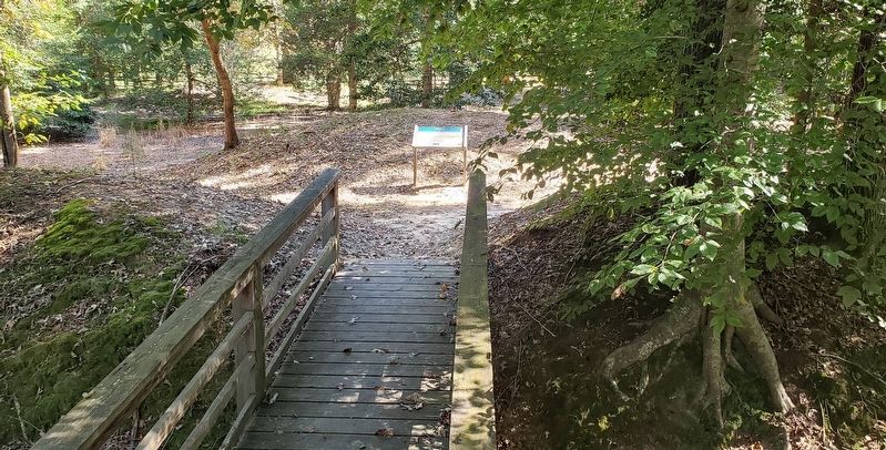
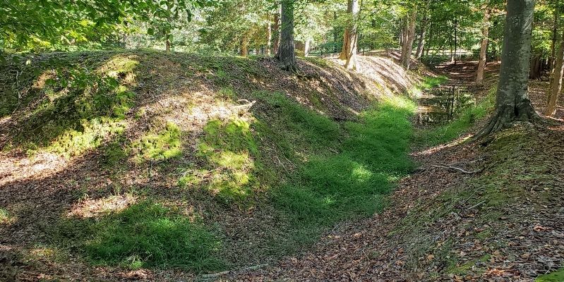
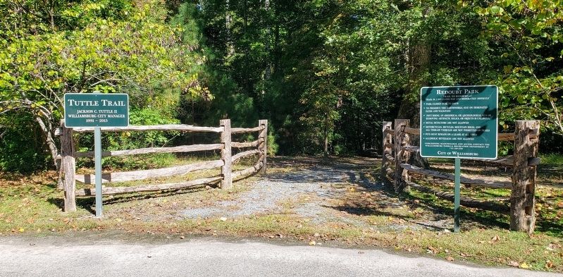
Location. 37° 15.48′ N, 76° 40.968′ W. Marker is in Williamsburg, Virginia. Marker can be reached from Quarterpath Road (Virginia Route 637) 0.8 miles south of York Street (U.S. 60), on the left when traveling south. Marker can be reached by taking the 0.3 mile (one-way) Tuttle hiking trail to the end. The trailhead is on the north side of the parking lot at Redoubt Park. Touch for map. Marker is at or near this postal address: 510 Quarterpath Road, Williamsburg VA 23185, United States of America. Touch for directions.
Other nearby markers. At least 8 other markers are within walking distance of this marker. Battle of Williamsburg (within shouting distance of this marker); Williamsburg in the Civil War (approx. ¼ mile away); Defending the Peninsula (approx. ¼ mile away); Redoubt 1 (approx. 0.3 miles away); Quarterpath Road (approx. 0.3 miles away); a different marker also named Battle of Williamsburg (approx. 0.3 miles away); History of Fort Magruder (approx. 0.4 miles away); a different marker also named The Battle of Williamsburg (approx. half a mile away). Touch for a list and map of all markers in Williamsburg.
Also see . . . Redoubt Park. Williamsburg Parks & Facilities (Submitted on October 19, 2021.)
Credits. This page was last revised on October 19, 2021. It was originally submitted on October 18, 2021, by Bradley Owen of Morgantown, West Virginia. This page has been viewed 269 times since then and 48 times this year. Photos: 1, 2, 3, 4. submitted on October 18, 2021, by Bradley Owen of Morgantown, West Virginia. • Bernard Fisher was the editor who published this page.


