Greenville in Wayne County, Missouri — The American Midwest (Upper Plains)
Memory Lane Trail
Greenville Recreation Area
— Wappapello Lake —
Welcome to the Memory Lane Trail
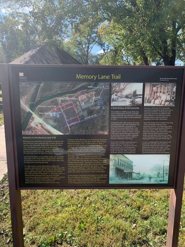
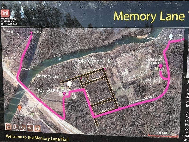
Memory Lane Trail (red —) consists of about one mile of leve,, hard surfaced trial, routed along the streets and sidewalks of the Old Greenville town site. the Memory Lane Trial is accessible for pedestrians, bicyclists, wheelchairs and other personal mobility devices. Dogs are welcome on the trail, but must be kept on a leaseh.
Restroom facilities and potable water area available here and in the Greenville Campground. Benches are located along the trail for those who may wish to stop and rest along the trail.
To help visitors orient themselves within the wooded, abandoned "ghost town" of Old Greenville (1819 - 1941), street signs are located along the trail and wayfinding maps can be found here and at the main corners of the trail ( • ). Memory Lane is a National Recreational Trail, but also includes numerous interpretive waysides devoted to various aspects of Old Greenville's history. Additional interpretive displays are located at the Bettis Ford site beside the boat launch ramp.
Portions of the Memory Lane Trail along Timmons and Third Streets are also part of the Trail of tears National Historic Trail. In December of 1838, a group of 1100 displaced Cherokee Indians passed through Old Greenville, during their grueling 770-mile, 103-day "Trail of Tears" journey to their new home in the Indian Territory in Oklahoma.
Memory lane connects with Greenville Bike Trail (blue —), a 3 mile hard-srufaced trail leading north to the modern town of Greenville. Part of the bike Trail follows the historic Greenville-Fredericktown Road. During the Civil War, a small skirmish was fought along the road and that event is interpreted at the skirmish site, about 1 mile north of the trailhead. A spur leading west off the main Bike Trail provides access to the river at a quiet and scenic spot about 2 miles to the north.
In the future, a proposed trail (green —) will cross the river/lake on the Route 67 bridge and lead to a scenic overlook on the bluff opposite Old Greenville. That trail will also provide hikers access toy the Wappapello Lake section of the Ozark Trail.
A Brief History of Old Greenville
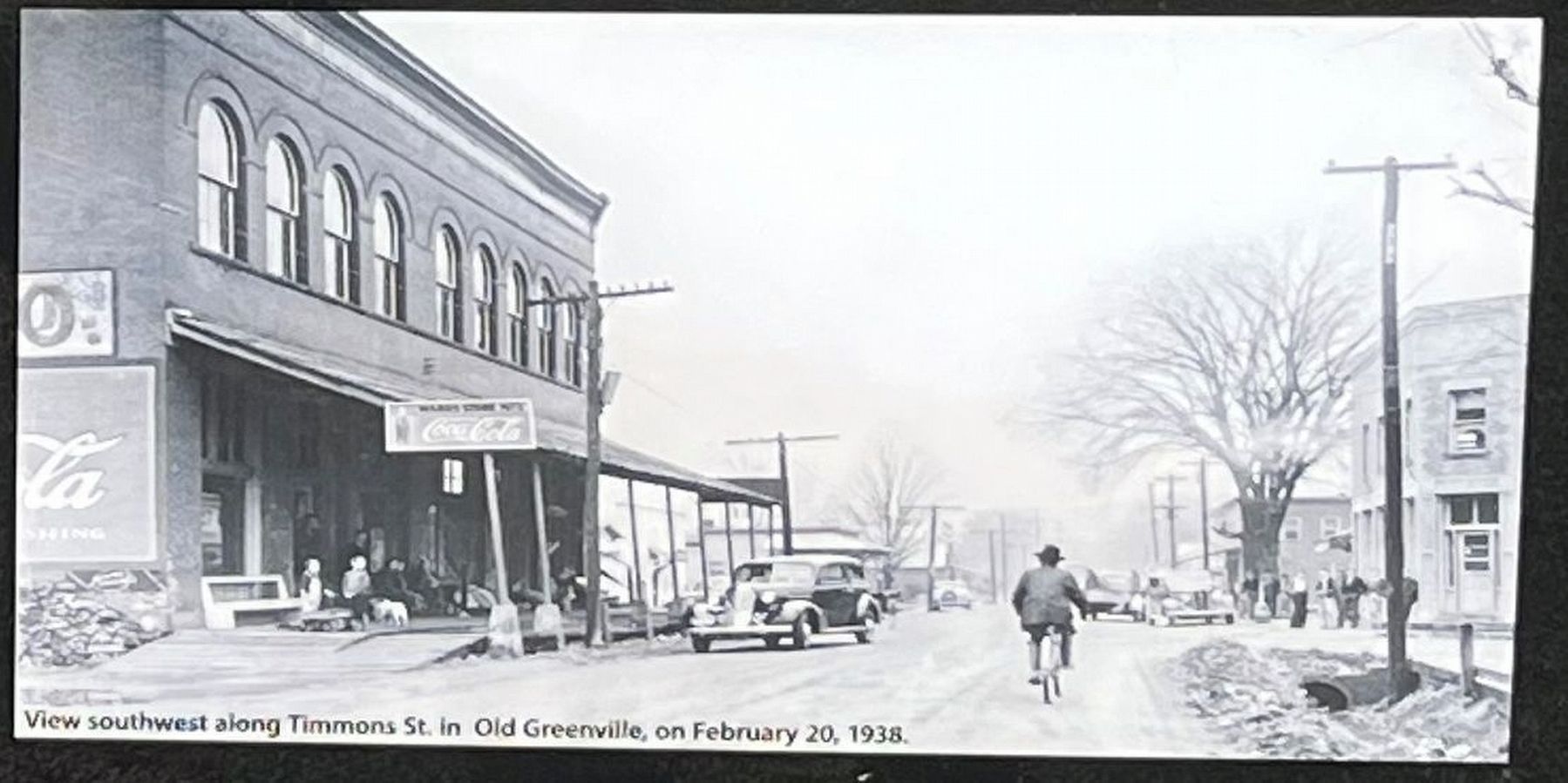
First settled in 1804 by Isaac Kelly and then Dr. Elijah Bettis and his extended family, Greenville was selected as the seat of Wayne County when it was established in 1819.
During the early 19th century, the main roads leading to the 'Old Southwest' ran through Greenville, crossing the St. Francis River here at Bettis Ford. In its early years, the town witnessed a wide range of iconic "western" events. Annual cattle drives passed through Greenville as did many pioneer families migrating west by horse and wagon to settle in Arkansas, Oklahoma, and Texas.
Prior to the Civil War, Greenville was a regular stop on the route of two stagecoach lines. During the war, the town was part of a vast borderland contested by both the North and South. On July 20, 1862, a small but significant skirmish was fought here.
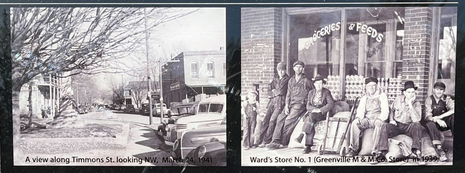
Between 1900 and 1910, Greenville reached its population peak with over a thousand residents. At that time, the town was served by the Williamsville Greenville & St. Louis Railway and the Holladay-Klotz Land & Lumber Co. employed more than 700 people.
Once the timber boom ended in the early 1910s, Greenville entered a slow economic decline. The Depression years of the 1930s were particularly difficult. It was also in the 1930s, after several disastrous floods in the lower Mississippi Valley, that the federal government began to build dams and levees to help control flooding and limits it effects. The Wappapello Dam was part of that effort.
In 1941, as Wappapello Lake began to fill behind the new dam, the citizens of Greenville relocated their town to higher ground two miles to the north. Forty homes were moved from Old Greenville, but most of the larger public and commercial buildings were demolished.
Erected by U.S. Army Corps of Engineers, St. Louis District.
Topics. This historical marker is listed in these topic lists: Native Americans • Settlements & Settlers • War, US Civil • Waterways & Vessels. A significant historical year for this entry is 1804.
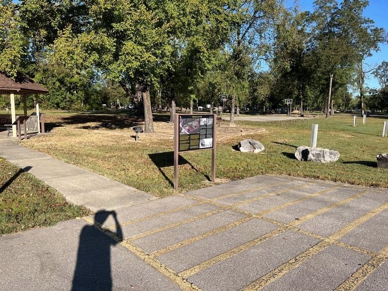
Location. 37° 5.976′ N, 90° 27.311′ W. Marker is in Greenville, Missouri, in Wayne County. Marker can be reached from U.S. 67, 0.2 miles south of County Road 221, on the right when traveling south. The marker stands on the Old Greenville Recreation Area. Touch for map. Marker is in this post office area: Greenville MO 63944, United States of America. Touch for directions.
Other nearby markers. At least 8 other markers are within walking distance of this marker. Old Greenville - April 22, 1939 (a few steps from this marker); Old Greenville in 1940 - Before the Wappapello Dam (a few steps from this marker); Old Greenville's Timmons Street Business District (a few steps from this marker); Memory Lane (a few steps from this marker); Alice J. Curtice Moyer-Wing , The Ozark Suffragist (a few steps from this marker); Old Greenville - Hiram N. Hollady's Company Town (a few steps from this marker); Bedwell Tavern (about 300 feet away, measured in a direct line); Wilcox Service Station (about 300 feet away). Touch for a list and map of all markers in Greenville.
Additional keywords. ghost towns
Credits. This page was last revised on October 30, 2022. It was originally submitted on October 19, 2021, by Thomas Smith of Waterloo, Ill. This page has been viewed 164 times since then and 21 times this year. Photos: 1, 2. submitted on October 19, 2021, by Thomas Smith of Waterloo, Ill. 3. submitted on October 27, 2022, by Craig Swain of Leesburg, Virginia. 4, 5. submitted on October 30, 2022, by Craig Swain of Leesburg, Virginia. 6. submitted on October 27, 2022, by Craig Swain of Leesburg, Virginia. • Devry Becker Jones was the editor who published this page.
