Tishomingo in Johnston County, Oklahoma — The American South (West South Central)
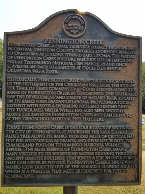
Pennington Creek
Historically, Pennington Creek played a significant role in the settlement of the Chickasaw Nation as the end of the Trail of Tears commenced at Good Springs along the banks of Pennington Creek in Tishomingo. This creek also saw the development and demise of Ballard Park, located on its banks near Reagan Oklahoma, providing a social hotspot with both a swimming pool and skating rink. The Tucker Mill Water Wheel has also been restored along the banks of Pennington Creek and can be found at the Tishomingo National Fish Hatchery.
Today, Pennington Creek is the sole source of water for the city of Tishomingo. It nourishes the rare seaside Alder tree along its banks, provides miles of critical habitat for neotropical migrants, and gives life "Blood" to Cumberland Pool on Tishomingo National Wildlife Refuge. The mere essence of Pennington Creek draws many visitors to its whispering waters running through ancient granite boulders that ignite a fire in one's spirit that can never be put out. Pennington Creek's life giving waters flow directly out of the Arbuckle Simpson Aquifer which is a treasure that must be preserved for future generations.
Erected by Tishomingo Historic Memories Trail.
Topics. This historical marker is listed in these topic lists: Animals • Native Americans • Wars, US Indian • Waterways & Vessels.
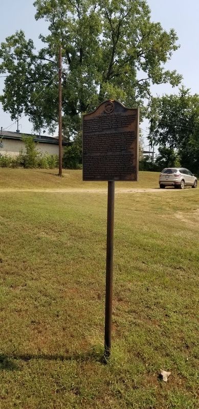
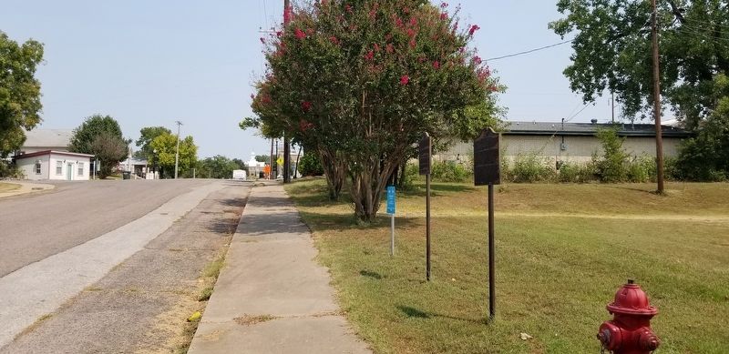
Location. 34° 14.111′ N, 96° 40.937′ W. Marker is in Tishomingo, Oklahoma, in Johnston County. Marker is at the intersection of South Capital Avenue and West 12th Street, on the left when traveling south on South Capital Avenue. The marker is located along side the sidewalk by the street. Touch for map. Marker is at or near this postal address: 309 West 12th Street, Tishomingo OK 73460, United States of America. Touch for directions.
Other nearby markers. At least 8 other markers are within walking distance of this marker. Johnston County War Memorial (here, next to this marker); Lest We Forget (a few steps from this marker); Howitzer M 110-8 8" Self Propelled (within shouting distance of this marker); Richard Miles McCool Jr. (within shouting distance of this marker); Lest We Forget - Persian Gulf (within shouting distance of this marker); CDR. Clarence "Smokey" Tolbert USN (within shouting distance of this marker); Lest We Forget - Vietnam (within shouting distance of this marker); Lest We Forget - World War I (within shouting distance of this marker). Touch for a list and map of all markers in Tishomingo.
Also see . . . Trail of Tears.
The Trail of Tears was part of a series of forced displacements of approximately 60,000 Native Americans of the Five Civilized Tribes between 1830 and 1850 by the United States government known as the Indian removal. Tribal members "moved gradually, with complete migration occurring over a period of nearly a decade." Members of the Cherokee, Muscogee (Creek), Seminole, Chickasaw, and Choctaw nations (including thousands of their black slaves[3]) were forcibly removed from their ancestral homelands in the Southeastern United States to areas to the west of the Mississippi River that had been designated 'Indian Territory'.(Submitted on October 20, 2021, by James Hulse of Medina, Texas.)
Credits. This page was last revised on October 21, 2021. It was originally submitted on October 20, 2021, by James Hulse of Medina, Texas. This page has been viewed 435 times since then and 84 times this year. Photos: 1, 2, 3. submitted on October 20, 2021, by James Hulse of Medina, Texas.


