
Petersburg in Dinwiddie County, Virginia — The American South (Mid-Atlantic)
The Battle of White Oak Road
Moving into Position
Photographed by Bill Coughlin, April 22, 2006
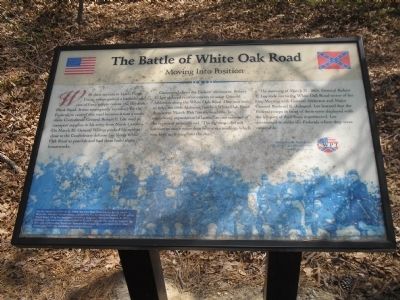
1. Moving into Position Marker
Concerned about the Federal movement, Robert E. Lee ordered reinforcements to assist General Anderson along the White Oak Road. One unit sent to help, the 60th Alabama, reached White Oak Road then spent March 30th “on the roadside, in momentary expectation of battle,” as one member of the regiment remembered. “The fighting … did not amount to much more than heavy skirmishing, which was kept up throughout the day.”
The morning of March 31, 1865, General Robert E. Lee rode out to the White Oak Road sector of his line. Meeting with General Anderson and Major General Bushrod R. Johnson, Lee learned that the Federal troops in front of them were deployed with the
this page online
Erected by Civil War Preservation Trust.
Topics. This historical marker is listed in these topic lists: Notable Events • Notable Places • War, US Civil. A significant historical date for this entry is March 31, 1865.
Location. Marker has been reported missing. It was located near 37° 9.086′ N, 77° 32.858′ W. Marker was in Petersburg, Virginia, in Dinwiddie County. It could be reached from White Oak Road, on the left when traveling west. Marker is on the Battle of White Oak Road walking trail. The trail starts from the parking lot at the corner of White Oak Road and Clairborne Road. Touch for map. Marker was in this post office area: Petersburg VA 23803, United States of America. Touch for directions.

Regionally, this marker was in Virginia’s Piedmont, in Southside Virginia, and specifically in Central Virginia. It was also in the American South and specifically in the Upper South. Globally, it was in North America, the Western Hemisphere, the Western World, and the Anglosphere. Historically, it found itself

2. Civil War Preservation Trust
Other nearby markers. At least 8 other markers are within 2 miles of this location, measured as the crow flies: White Oak Road Engagement (about 600 feet away); Gravelly Run Quaker Meeting House (approx. 1½ miles away); Raceland (approx. 1½ miles away); Cattle (Beefsteak) Raid (approx. 1.6 miles away); White Oak Road (approx. 1.6 miles away); Burgess Mill (approx. 1.7 miles away); Hatcher's Run (approx. 1.7 miles away); Quaker Road Engagement (approx. 2.1 miles away). Touch for a list and map of all markers in Petersburg.
Other markers no longer nearby. The Battle of White Oak Road (was within shouting distance of this marker but has been confirmed missing); a different marker also named The Battle of White Oak Road (was about 400 feet away, measured in a direct line but has been confirmed missing); a different marker also named The Battle of White Oak Road (was about 500 feet away but has been confirmed missing); a different marker also named The Battle of White Oak Road
Photographed by Bill Coughlin, April 22, 2006
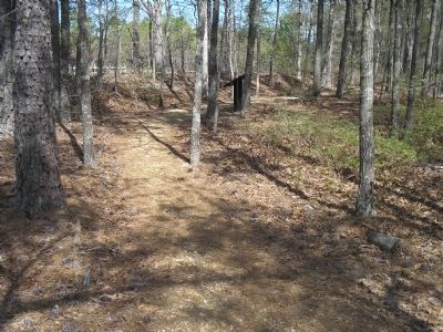
3. The Battle of White Oak Road Marker
More about this marker. The background of the marker features a picture of Union troops with the caption, “On the morning of March 31, 1865, the 61st New York (shown here), under Brigadier General Nelson Miles, moved into the fortifications along the Boydton Plank Road off to the southeast, relieving Brigadier General Charles Griffin’s division. This maneuver allowed Griffin to shift towards the south to support the divisions of Brigadier Generals Romeyn Ayres and Samuel Crawford as they moved opposite the Confederate entrenchments.”
Related markers. Click here for a list of markers that are related to this marker. Virtual Tour by Markers of the White Oak Road Battlefield. To better understand the relationship, study each marker in the order shown.
Also see . . .
1. White Oak Road. The Civil War Siege of Petersburg. (Submitted on December 28, 2008, by Bill Coughlin of Woodland Park, New Jersey.)
2. Saving America’s Threatened Civil War Battlefields.
Photographed by Bill Coughlin, April 22, 2006
4. Earthworks on White Oak Road
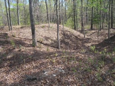
These fortification were used by the Confederates and the Federals during the March 31, 1865 Battle of White Oak Road. They are located near the marker.
Photographed by Bill Coughlin, April 22, 2006
5. The Battle of White Oak Road Walking Trail Map
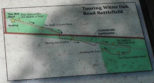
The location of the "Moving into Position" marker is indicated on this map of the walking trail.
Photographed by Bradley Owen, October 20, 2021
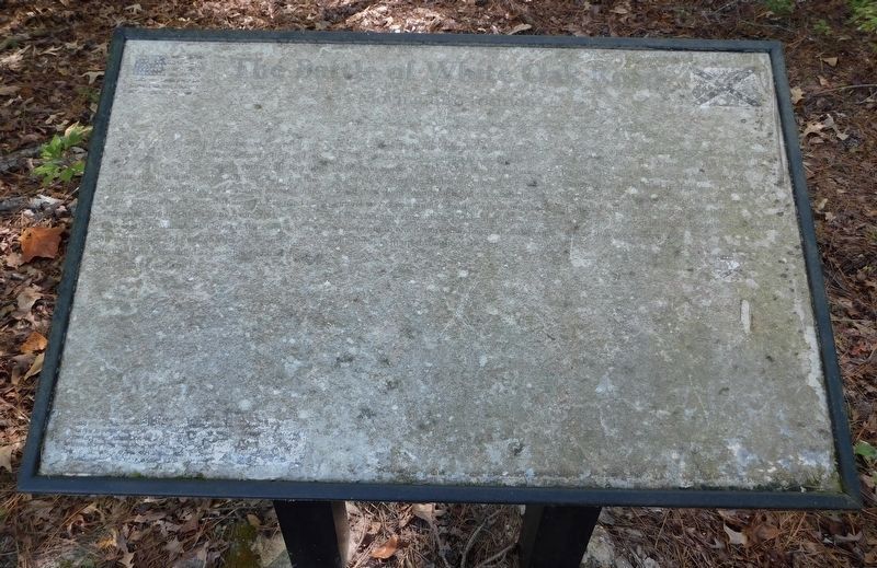
6. The Battle of White Oak Road Marker
Marker is significantly unreadable.
Photographed by Bradley Owen, October 20, 2021
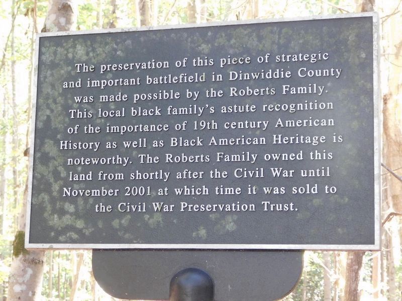
7. Appreciation Plaque
Located on the south side of White Oak Road. Plaque is at the sharp left turn in the trail almost immediately after crossing the road when heading south.
Photographed by Bradley Owen, October 20, 2021
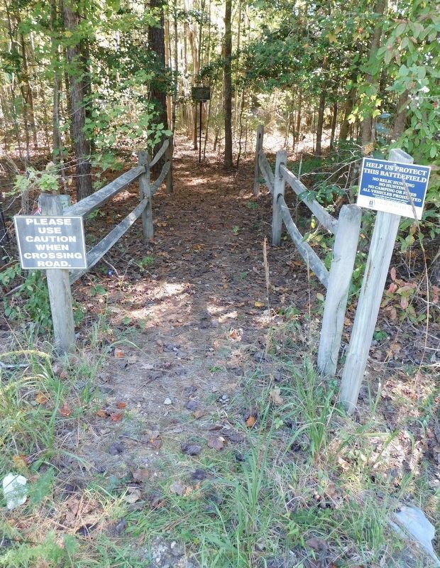
8. Appreciation Plaque
As viewed from the south shoulder of White Oak Road.
Credits. This page was last revised on December 3, 2025. It was originally submitted on December 28, 2008, by Bill Coughlin of Woodland Park, New Jersey. This page has been viewed 1,596 times since then and 28 times this year. Last updated on October 20, 2021, by Bradley Owen of Morgantown, West Virginia. Photos: 1. submitted on December 28, 2008, by Bill Coughlin of Woodland Park, New Jersey. 2. submitted on March 30, 2009. 3, 4, 5. submitted on December 28, 2008, by Bill Coughlin of Woodland Park, New Jersey. 6, 7, 8. submitted on October 20, 2021, by Bradley Owen of Morgantown, West Virginia. • Bernard Fisher was the editor who published this page.
