Near Gettysburg in Potter County, South Dakota — The American Midwest (Upper Plains)
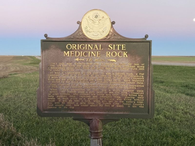
Original Site Medicine Rock
2.6 miles
Don't look now. Because that site is normally under 50 feet of water. 125 feet from the shore at a point 1.15 miles northeast along a meandering shore line, from the point this road finally runs into the Oahe Reservoir.
It was a landmark in its day. It was a sacred rock, a flat limestone about 12 x 20 (now to be seen - on US 212 in Gettysburg, 15 miles east). It lay on a hillside just South of the Little Cheyenne River and the man's footprints and other tracks on it, were regarded as sacred by the Sioux Indians and probably generations before them.
First observed by the Atkinson-O’Fallon Peace Treaty expedition of 1823, it was variously commented on by later river travelers.
When Sully's expedition of 1863 was a short distance away, Captain John Fielner made a solo jaunt to see the rock. Observed by some Indians, who coveted his horse and gear, they killed him. Sully pursued them, captured and and beheaded them, placing their heads on high poles as a warning to Indians who killed without cause. If you do take a look when you get to the water's edge, you will be about a mile from Old Forest City, Potter County's first county seat now under about 90 feet of water. It too was famous in its day.
Erected 1967 by South Dakota State Historical Society and Agnes B. Whitlock Estate. (Marker Number 438.)
Topics and series. This historical marker is listed in these topic lists: Exploration • Native Americans. In addition, it is included in the South Dakota State Historical Society Markers series list. A significant historical year for this entry is 1863.
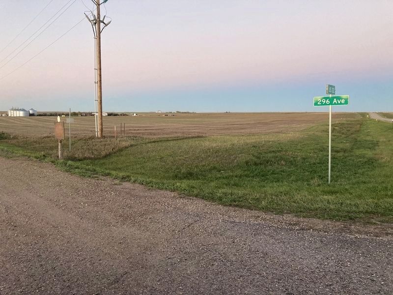
Location. 45° 0.563′ N, 100° 13.528′ W. Marker is near Gettysburg, South Dakota, in Potter County. Marker is at the intersection of U.S. 212 and 296th Avenue, on the right when traveling west on U.S. 212. Touch for map. Marker is in this post office area: Gettysburg SD 57442, United States of America. Touch for directions.
Other nearby markers. At least 1 other marker is within 4 miles of this marker, measured as the crow flies. Chargers Camp (approx. 3.8 miles away).
Credits. This page was last revised on October 21, 2021. It was originally submitted on October 19, 2021, by Connor Olson of Kewaskum, Wisconsin. This page has been viewed 516 times since then and 99 times this year. Last updated on October 20, 2021. Photos: 1, 2. submitted on October 19, 2021, by Connor Olson of Kewaskum, Wisconsin. • J. Makali Bruton was the editor who published this page.

