Aztec in San Juan County, New Mexico — The American Mountains (Southwest)
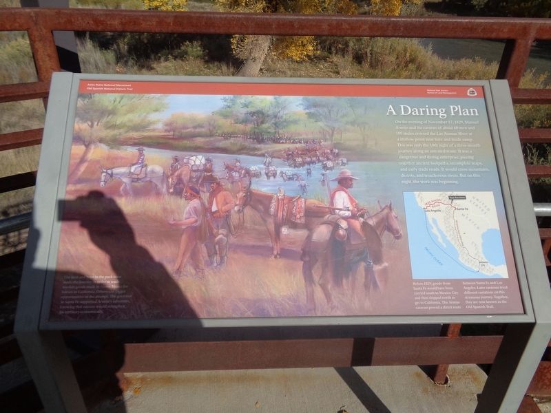
A Daring Plan
Aztec Ruins National Monument
— Old Spanish National Historic Trail —
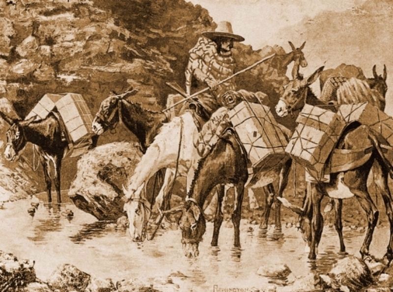
The men and boys in the pack train made the journey in order to trade woolen goods made in Nuevo Mexico for horses in California. Others saw bigger opportunities in the attempt. The governor in Santa Fe supported Armijo's adventure, knowing that success would strengthen his territory economically.
(photo caption:)
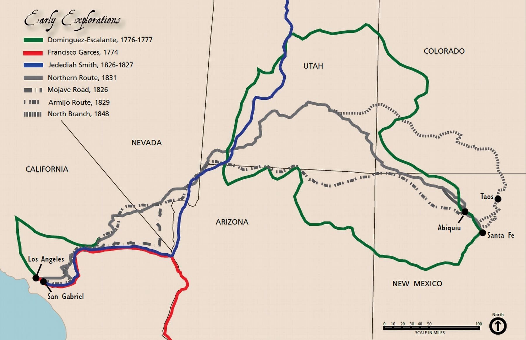
Before 1829, goods from Santa Fe would have been carried south to Mexico City and then shipped north to get to California. The Armijo caravan proved a direct route between Santa Fe and Los Angeles. Later caravans tried different variations on this strenuous journey. Together, they are now known as the Old Spanish Trail.
Erected by National Park Service and Bureau of Land Management.
Topics. This historical marker is listed in these topic lists: Hispanic Americans • Roads & Vehicles • Waterways & Vessels. A significant historical date for this entry is November 17, 1829.
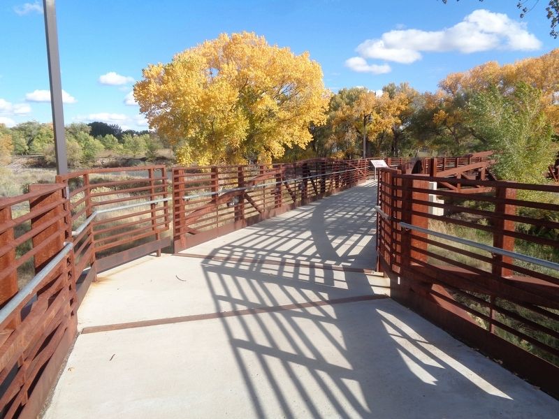
Location. 36° 49.966′ N, 107° 59.738′ W. Marker is in Aztec, New Mexico, in San Juan County. Marker can be reached from Road 2900 near Ruins Road. Marker is on a bridge as part of a walking trail. Touch for map. Marker is at or near this postal address: 725 Ruins Road, Aztec NM 87410, United States of America. Touch for directions.
Other nearby markers. At least 8 other markers are within walking distance of this marker. At Home on the River (within shouting distance of this marker); A River's Ancient Gifts (within shouting distance of this marker); A Vibrant Pueblo (about 400 feet away, measured in a direct line); Armijo Returns Triumphant (about 500 feet away); Crossroads Through Time (about 800 feet away); Aztec Ruins National Monument (approx. 0.3 miles away); "For the Enlightenment of the Nation" (approx. 0.3 miles away); a different marker also named Aztec Ruins National Monument (approx. half a mile away). Touch for a list and map of all markers in Aztec.
More about this marker. This is one of six markers (as of October 2021), placed by the NPS, that are part of a trail that is to connect from the Aztec Ruins National Monument to Main Street in Aztec. The trail is to tell the history of the Old Spanish Trail. Parts of the trail were under construction at this time.
Also see . . . Wikipedia Entry for Old Spanish Trail. Excerpt:
Armijo used the same route to return to his original town, traveling from March 1 to April 25, 1830. He submitted a brief journal of his journey (itemizing the days with names of places where camps were made but not quantifying distances) to the government of New Mexico, and it was published by the Mexican government in June 1830.(Submitted on November 13, 2021.)
The Main Route (also referred to as the Central Route or the Northern Route) of the Old Spanish Trail avoided territory of the Navajo, (who had returned to a state of hostilities after Armijo’s trip), and the more difficult canyon country traversed by the Armijo Route around the Colorado River. [It was] first traveled in 1830 by a party led by William Wolfskill and George Yount.
Credits. This page was last revised on November 13, 2021. It was originally submitted on October 22, 2021, by Jason Voigt of Glen Carbon, Illinois. This page has been viewed 354 times since then and 37 times this year. It was the Marker of the Week November 14, 2021. Photos: 1, 2. submitted on October 22, 2021, by Jason Voigt of Glen Carbon, Illinois. 3, 4. submitted on November 13, 2021, by J. J. Prats of Powell, Ohio.


