Queensbury in Warren County, New York — The American Northeast (Mid-Atlantic)
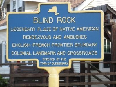
Blind Rock
Erected by the Town of Queensbury.
Topics. This historical marker is listed in these topic lists: Colonial Era • Native Americans.
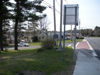
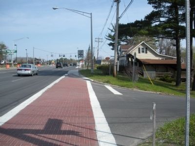
Location. 43° 20.083′ N, 73° 40.717′ W. Marker is in Queensbury, New York, in Warren County. Marker is at the intersection of Lake George Road (U.S. 9) and Montray Road, on the right when traveling north on Lake George Road. Marker is located across from the Wal-Mart Shopping Center. Touch for map. Marker is in this post office area: Queensbury NY 12804, United States of America. Touch for directions.
Other nearby markers. At least 8 other markers are within 2 miles of this marker, measured as the crow flies. Half Way Brook (approx. 0.9 miles away); a different marker also named Half Way Brook (approx. 0.9 miles away); Gen. Henry Knox Trail (approx. 1.1 miles away); Peace and Victory Monument (approx. 1.2 miles away); The Comet (approx. 1.2 miles away); Believe It! The Comet (approx. 1.2 miles away); This is "Porcellino" (approx. 1.3 miles away); Five Mile Run (approx. 1.3 miles away). Touch for a list and map of all markers in Queensbury.
Regarding Blind Rock. Blind Rock is on private property.
Also see . . . Historical markers in Queensbury. (Submitted on April 30, 2009, by John Farrell of Lake George, New York.)
Credits. This page was last revised on June 16, 2016. It was originally submitted on April 29, 2009, by John Farrell of Lake George, New York. This page has been viewed 2,326 times since then and 83 times this year. Photos: 1, 2, 3. submitted on April 29, 2009, by John Farrell of Lake George, New York. • Christopher Busta-Peck was the editor who published this page.


