Near Wasta in Pennington County, South Dakota — The American Midwest (Upper Plains)
Cheyenne River Rest Area
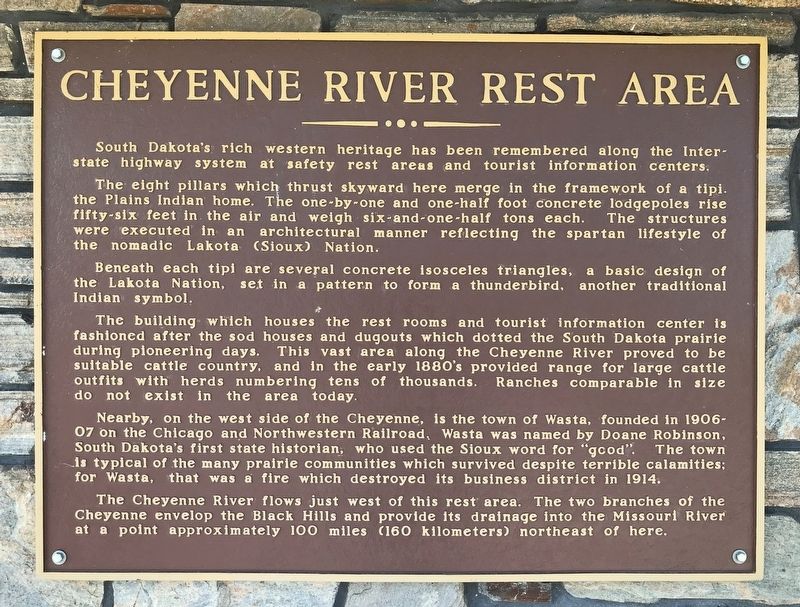
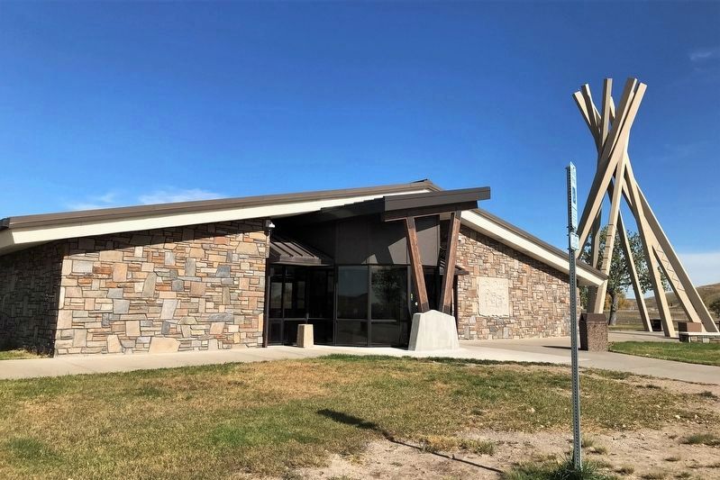
The eight pillars which thrust skyward here merge in the framework of a tipi, the Plains Indian home. The one-by-one and one-half foot concrete lodge poles rise fifty-six feet in the air and weigh six-and-one-half tons each. The structures were executed in an architectural manner reflecting the spartan lifestyle of the nomadic Lakota (Sioux) Nation.
Beneath each tipi are several concrete isosceles triangles, a basic design of the Lakota Nation, set in a pattern to form a thunderbird, another traditional Indian symbol.
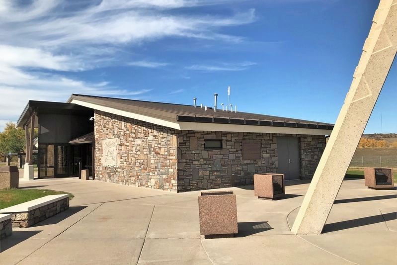
The building which houses the rest rooms and tourist information center is fashioned after the sod houses and dugouts which dotted the South Dakota prairie during pioneering days. This vast area along the Cheyenne River proved to be suitable cattle country, and in the early 1880's provided range for large cattle outfits with herds numbering tens of thousands. Ranches comparable in size do not exist in the area today.
Nearby, on the west side of the Cheyenne, is the town of Wasta, founded in 1906-07 on the Chicago and Northwestern Railroad. Wasta was named by Doane Robinson, South Dakota's first state historian, who used the Sioux word for "good". The town is typical of the many prairie communities which survived despite terrible calamities; for Wasta, that was a fire which destroyed its business district in 1914.
The Cheyenne River flows just west of this rest area. The two branches of the Cheyenne envelop the Black Hills and provide its drainage into the Missouri River at a point approximately 100 miles (160 kilometers) northeast of here. (Marker Number 557.)
Topics and series. This historical marker is listed in these topic lists: Native Americans • Settlements & Settlers • Waterways & Vessels. In addition, it is included in the South Dakota State Historical Society Markers series list. A significant historical year for this entry is 1906.
Location. 44° 3.782′ N, 102° 26.391′ W. Marker is near Wasta, South Dakota, in Pennington County. Marker can be reached from Interstate 90 at milepost 98 east of Base Line Road, on the right when traveling east. The marker is located at the Wasta Eastbound Rest Area. Touch for map. Marker is in this post office area: Wasta SD 57791, United States of America. Touch for directions.
Other nearby markers. At least 6 other markers are within 11 miles of this marker, measured as the crow flies. Missouri River (a few steps from this marker); World's Only Corn Palace - Mitchell (a few steps from this marker); Native American Culture (within shouting distance of this marker); a different marker also named Cheyenne River Rest Area (approx. 0.3 miles away); Purple Heart Memorial Highway (approx. 0.3 miles away); The Carrol McDonald Post No. 246 (approx. 10.9 miles away).
Credits. This page was last revised on October 25, 2021. It was originally submitted on October 25, 2021. This page has been viewed 220 times since then and 13 times this year. Photos: 1, 2, 3. submitted on October 25, 2021. • J. Makali Bruton was the editor who published this page.


