Near Thurmont in Frederick County, Maryland — The American Northeast (Mid-Atlantic)
An Unquiet Place
Catoctin Furnace African American Cemetery Interpretive Trail
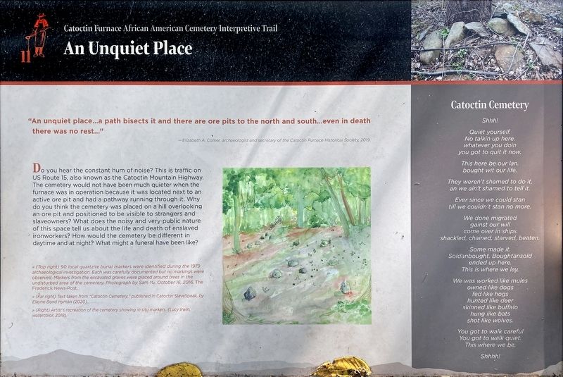
"An unquiet place…a path bisects it and there are ore pits to the north and south…even in death there was no rest…"
—Elizabeth A. Comer, an archaeologist and secretary of the Catoctin Furnace Historical Society, 2008
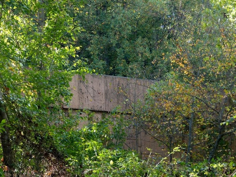
Do you hear the constant hum of noise? This is traffic on US Route 15, also known as the Catoctin Mountain Highway. The cemetery would not have been much quieter when the furnace was in operation because it was located next to an active ore pit and had a pathway running through it. Why do you think the cemetery was placed on a hill overlooking an ore pit and positioned to be visible to strangers and slaveowners? What does the noisy and very public nature of this space tell us about the life and death of enslaved ironworkers? How would the cemetery be different in daytime and at night? What might a funeral have been like?
Catoctin Cemetery
Shhh!
Quiet yourself.
No talkin up here.
whatever you doin
you got to quit it now.
This here be our Ian.
bought wit our life.
They weren't shamed to do it,
an we ain't shamed to tell it.
Ever since we could stan
till we couldn't stan no more.
We done migrated
gainst our will
come over in ships
shackled, chained, starved, beaten.
Some made it.
Soldanbought. Boughtansold
ended up here.
This is where we lay,
We was worked like mules
owned like dogs
fed like hogs
hunted like deer
skinned like buffalo
hung like bats
shot like wolves.
You got to walk careful
You got to walk quiet.
This we be.
Shhhh!
[Captions:]
» (Top right) 90 local quartzite burial markers were identified during the 1979 archaeological investigation. Each was carefully documented but no markings were observed. Markers from the excavated graves were placed around trees in the undisturbed area of the cemetery. Photograph by Sam Yu, October 16, 2016, The Frederick News-Post.
» Text taken from “Catoctin Cemetery”, published in Catoctin SlaveSpeak, by Elayne Bond Hyman (2020).
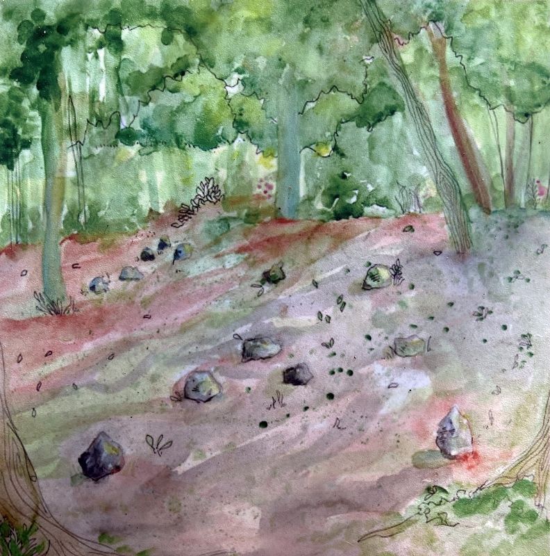
» (Right) Artist's recreation of the cemetery showing in situ markers. (Lucy Irwin, watercolor, 2018).
Topics. This historical marker is listed in these topic lists: African Americans • Anthropology & Archaeology • Cemeteries & Burial Sites • Industry & Commerce.
Location. 39° 34.72′ N, 77° 26.087′ W. Marker is near Thurmont, Maryland, in Frederick County. Marker can be reached from Catoctin Furnace Road (Maryland Route 806) just south of Cotoctin Hollow Road, on the right when traveling south. Touch for map. Marker is at or near this postal address: 12610 Catoctin Furnace Rd, Thurmont MD 21788, United States of America. Touch for directions.
Other nearby markers. At least 8 other markers are within walking distance of this marker. The Return of Names (here, next to this marker); Erasure and Rediscovery (here, next to this marker); Dynamic Nature of History (a few steps from this marker); Who Built this Village? (within shouting distance of this marker); Secondary Industries and the Mill Pond (within shouting distance of this marker); Resources: Use—Reuse—Recycle (about 500 feet away, measured in a direct line); Harriet Chapel (about 600 feet away); A Diverse and Skilled Workforce (approx. 0.2 miles away). Touch for a list and map of all markers in Thurmont.
Credits. This page was last revised on October 29, 2021. It was originally submitted on October 29, 2021, by Allen C. Browne of Silver Spring, Maryland. This page has been viewed 122 times since then and 17 times this year. Photos: 1, 2, 3, 4. submitted on October 29, 2021, by Allen C. Browne of Silver Spring, Maryland. • Devry Becker Jones was the editor who published this page.


