Williamsburg, Virginia — The American South (Mid-Atlantic)
Battle of Williamsburg
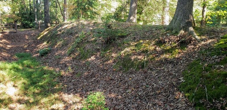
Redoubt 2
— 1862 Peninsula Campaign —
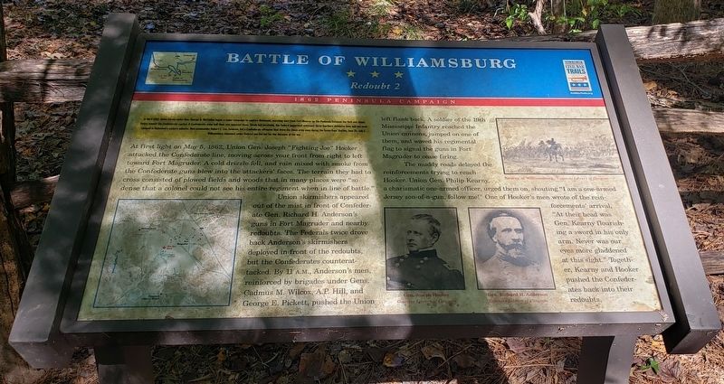
(Preface) In April 1862, Union forces under Gen. George B. McClellan began a major campaign to capture Richmond, marching west from Fort Monroe up the Peninsula between the York and James Rivers toward the Confederate capital. A Confederate army half their size opposed them. Slowly but inevitably, the Federal juggernaut overcame three Southern defensive lines and soon camped in Richmond’s eastern suburbs. New commander Robert E. Lee, however, led a Confederate offensive that drove the Union army away during the Seven Days’ Battles, June 25-July 1. Williamsburg remained under Federal martial law for the duration of the war.
At first light on May 5, 1862, Union Gen. Joseph "Fighting Joe" Hooker attacked the Confederate line, moving across your front from right to left toward Fort Magruder. A cold drizzle fell, and rain mixed with smoke from the Confederate guns blew into the attackers' faces. The terrain they had to cross consisted of plowed fields and woods that in many places were "so dense that a colonel could not see his entire regiment when in line of battle."
Union skirmishers appeared out of the mist in front of Confederate Gen. Richard H. Anderson's guns in Fort Magruder and nearby redoubts. The Federals twice drove back Anderson's skirmishers deployed in front of the redoubts, but the Confederates counterattacked. By 11 A.M., Anderson's men, reinforced by brigades under Gens. Cadmus M. Wilcox, A.P. Hill, and George E. Pickett, pushed the Union left flank back. A soldier of the 19th Mississippi Infantry reached the Union cannons, jumped on one of them, and waved his regimental flag to signal the guns in Fort Magruder to cease firing.
The muddy roads delayed the reinforcements trying to reach Hooker. Union Gen. Philip Kearny, a charismatic one-armed officer, urged them on shouting "I am a one-armed Jersey son-of-a-gun, follow me!" One of Hooker's men wrote of the reinforcements' arrival, "At their head was Gen. Kearny flourishing a sword in his only arm. Never was our eyes more gladdened at this sight." Together, Kearny and Hooker pushed the Confederates back into their redoubts.
(Photo Captions)
Kearny at Williamsburg - Courtesy Library of Congress
Gen. Joseph Hooker
Courtesy Library of Congress
Gen. Richard H. Anderson
Courtesy Library of Congress
Erected by Virginia Civil War Trails.
Topics and series. This historical marker is listed in this topic list: War, US Civil. In addition, it is included in the Virginia Civil War Trails series list. A significant historical date for this entry is May 5, 1862.
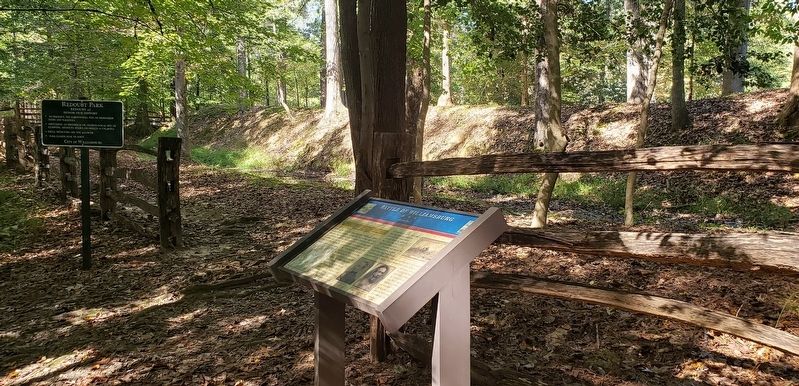
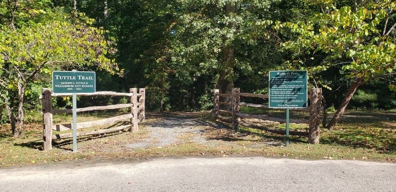
Location. 37° 15.465′ N, 76° 40.951′ W. Marker is in Williamsburg, Virginia. Marker can be reached from Quarterpath Road (Virginia Route 637) 0.8 miles south of York Street (U.S. 60), on the left when traveling south. Marker can be reached by taking the 0.3 mile (one-way) Tuttle hiking trail to the end. The trailhead is on the north side of the parking lot at Redoubt Park. Touch for map. Marker is at or near this postal address: 510 Quarterpath Road, Williamsburg VA 23185, United States of America. Touch for directions.
Other nearby markers. At least 8 other markers are within walking distance of this marker. Redoubt 2 (within shouting distance of this marker); Williamsburg in the Civil War (approx. ¼ mile away); Defending the Peninsula (approx. ¼ mile away); Redoubt 1 (approx. 0.3 miles away); Quarterpath Road (approx. 0.3 miles away); a different marker also named Battle of Williamsburg (approx. 0.3 miles away); History of Fort Magruder (approx. 0.4 miles away); a different marker also named The Battle of Williamsburg (approx. half a mile away). Touch for a list and map of all markers in Williamsburg.
Credits. This page was last revised on October 31, 2021. It was originally submitted on October 30, 2021, by Bradley Owen of Morgantown, West Virginia. This page has been viewed 270 times since then and 27 times this year. Photos: 1, 2, 3, 4. submitted on October 30, 2021, by Bradley Owen of Morgantown, West Virginia. • Bernard Fisher was the editor who published this page.


