Santa Fe in Santa Fe County, New Mexico — The American Mountains (Southwest)
Acequia Madre
Photographed by Jason Voigt, October 12, 2021
1. Acequia Madre Marker
(English)
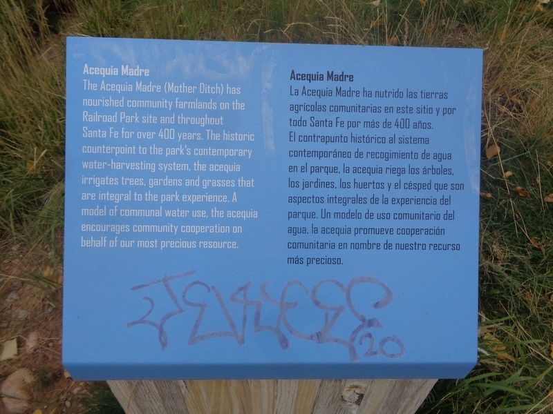
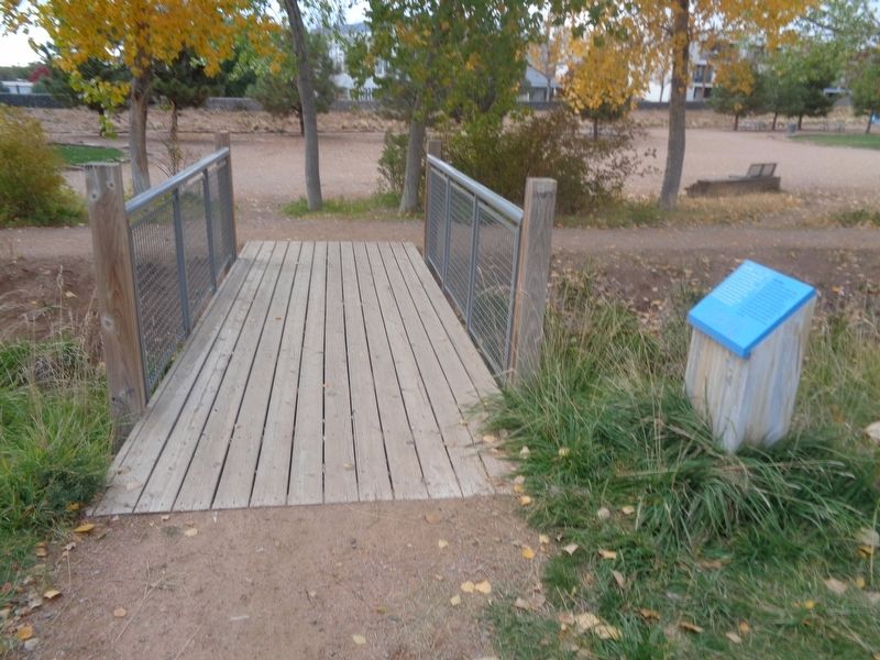
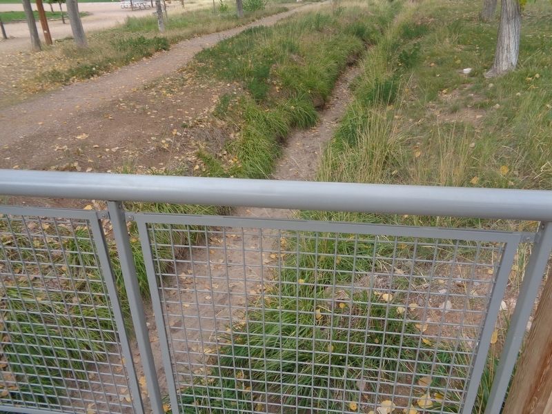
The Acequia Madre (Mother Ditch) has nourished community farmlands on the Railroad Park site and throughout Santa Fe for over 400 years. The historic counterpoint to the park's contemporary water-harvesting system, the acequia irrigates trees, gardens and grasses that are integral to the park experience. A model of communal water use, the acequia encourages community cooperation on behalf of our most precious resource.
(Spanish)
La Acequia Madre ha nutrido las tierras agricolas comunitarias en este sitio y por todo Santa Fe por mas de 400 anos. El contrapunto historico al sistema contemporaneo de recogimiento de agua en el parque, la acequia riega los arboles, los jardines, los huertos y el cesped que son aspectos integrales de la experiencia del parque. Un modelo de uso comunitario del agua, la acequia promueve cooperacion comunitaria en nombre de nuestro recurso mas precioso.
Topics. This historical marker is listed in these topic lists: Parks & Recreational Areas • Waterways & Vessels.
Location. 35° 40.768′ N, 105° 57.078′ W. Marker is in Santa
this page online

Regionally, this marker is in Northern New Mexico. It is also in the American Southwest, in the Mountain West, and on the Santa Fe Trail Corridor. Globally, it is in North America, the Rocky Mountains, the Western Hemisphere, the Western World, and the Anglosphere. Historically, it finds itself in what was once New Spain, the territory of the Ancestral Puebloans, and the Republic of Texas.
Other nearby markers. At least 8 other markers are within walking distance of this marker: Agricultural History (within shouting distance of this marker); Railyard History (approx. 0.2 miles away); The Spiegelberg Brothers (approx. 0.2 miles away); Neighborhood History (approx. 0.2 miles away); Marian Myer (approx. half a mile away); Fairview Cemetery (approx. half a mile away); Don Juan Bautista de Anza (approx. 0.6 miles away); To the Memory of the Men of the 200th
Photographed by Jason Voigt, October 12, 2021
2. Acequia Madre Marker
Photographed by Jason Voigt, October 12, 2021
3. Acequia Madre Marker
The ditch
Credits. This page was last revised on October 31, 2021. It was originally submitted on October 30, 2021, by Jason Voigt of Glen Carbon, Illinois. This page has been viewed 429 times since then and 86 times this year. Photos: 1, 2, 3. submitted on October 30, 2021, by Jason Voigt of Glen Carbon, Illinois.
