Santa Fe in Santa Fe County, New Mexico — The American Mountains (Southwest)
Agricultural History
(English)
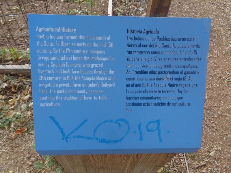
Pueblo Indians farmed this area south of the Santa Fe River as early as the mid-15th century. By the 17th century, acequias (irrigation ditches) laced the landscape for use by Spanish farmers, who grazed livestock and built farmhouses through the 19th century. In 1914 the Acequia Madre still irrigated a private farm on today's Railyard Park. The park's community gardens continue this tradition of farm-to-table agriculture.
(Spanish)
Historia Agricola
Los Indios de los Pueblos labraron esta tierra al sur del Rio Santa Fe posiblemente tan temprano como mediados del siglo 15. Ya para el siglo 17 las acequias entrelazadas aqui servian a los agricultores espanoles. Aqui tambien ellos pastoreaban el ganado y construian casas durante el siglo 19. Aun en el ano 1914 la Acequia Madre regaba una finca privada en este terreno. Hoy los huertos comunitarios en el parque continuan esta tradicion de agricultura local.
Topics. This historical marker is listed in these topic lists: Agriculture • Native Americans • Parks & Recreational Areas. A significant historical year for this entry is 1914.
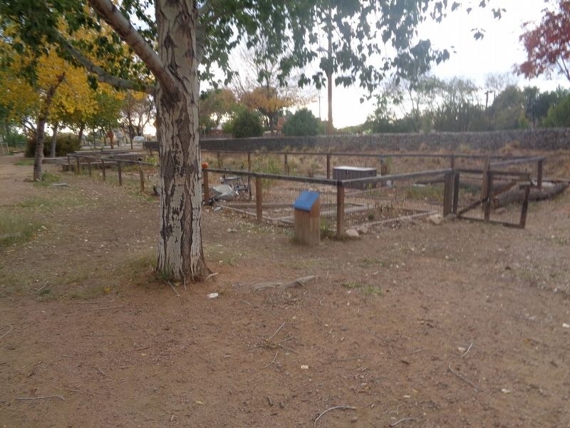
Location. 35° 40.756′ N, 105° 57.118′ W. Marker is in Santa Fe, New Mexico, in Santa Fe County. Marker is on Callejon south of Paseo de Peralta. Marker is located on the grounds of Santa Fe Railyard Park. Touch for map. Marker is at or near this postal address: 740 Cerrillos Road, Santa Fe NM 87505, United States of America. Touch for directions.
Other nearby markers. At least 8 other markers are within walking distance of this marker. Acequia Madre (within shouting distance of this marker); Railyard History (approx. 0.2 miles away); The Spiegelberg Brothers (approx. 0.2 miles away); Neighborhood History (approx. ¼ mile away); Marian Myer (approx. half a mile away); Fairview Cemetery (approx. half a mile away); Don Juan Bautista de Anza (approx. 0.7 miles away); Inez Bushner Gill (1918–1982) and Maralyn Budke (1936–2010) (approx. 0.7 miles away). Touch for a list and map of all markers in Santa Fe.
Credits. This page was last revised on October 31, 2021. It was originally submitted on October 30, 2021, by Jason Voigt of Glen Carbon, Illinois. This page has been viewed 169 times since then and 13 times this year. Photos: 1, 2. submitted on October 30, 2021, by Jason Voigt of Glen Carbon, Illinois.

