Butte in Silver Bow County, Montana — The American West (Mountains)
Duggan Residence
Butte National Historic Landmark District
Photographed by Barry Swackhamer, July 12, 2021
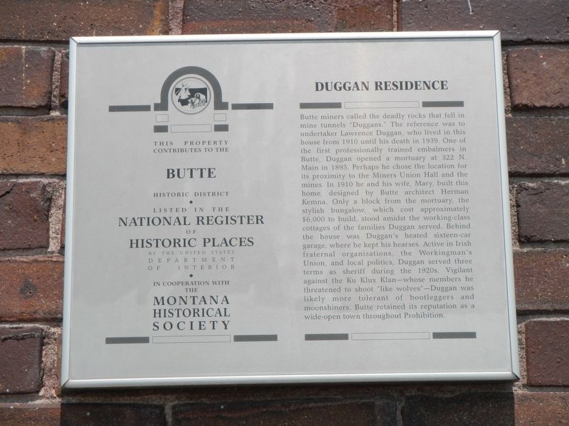
1. Duggan Residence Marker
Inscription.
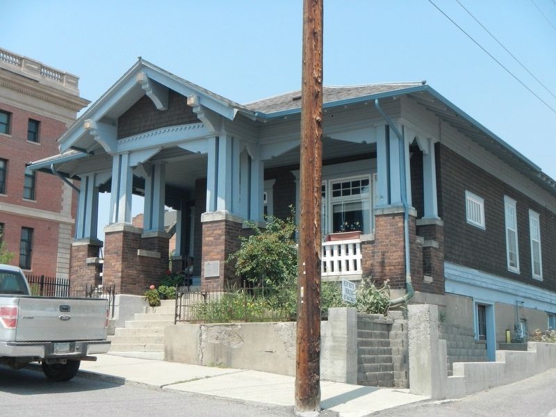
Butte miners called the deadly rocks that fell in mine tunnels “Duggans.” The reference was to undertaker Lawrence Duggan, who lived in this house from 1910 until his death in 1939. One of the first professionally trained embalmers in Butte, Duggan opened a mortuary at 322 N. Main in 1895. Perhaps he chose the location for its proximity to the Miners Union Hall and the mines. In 1910, he and his wife, Mary, built this home, designed by Butte architect Herman Kemna. Only a block from the mortuary, the stylish bungalow, which cost approximately $6,000 to build, stood amidst the working-class cottages of the families Duggan served. Behind the house was Duggan’s heated sixteen-car garage, where he kept his hearses. Active in Irish fraternal organizations, the Workingman’s Union, and local politics, Duggan served three terms as sheriff during the 1920s. Vigilant against the Ku Klux Klan—whose members he threatened to shoot “like wolves”—Duggan was likely more tolerant of bootleggers and moonshiners. Butte retained its reputation as a wide-open town throughout Prohibition.
Location. 46° 0.975′ N, 112° 32.084′ W. Marker is in Butte, Montana, in Silver Bow County. It is at the intersection of East Copper Street and Pennsylvania Avenue, on the right when traveling west on East Copper Street. Touch for map. Marker is at or near this postal address: 31 East Copper Stree, Butte MT 59701, United States of America. Touch for directions.
Regionally, this marker is in andspecifically outhwest Montana, in Gold West Country, in Mining Country. It is also in the American Mountain West and in the Lewis & Clark Corridor. Globally, it is in North America, the Rocky Mountains, the Western Hemisphere, the Western World, and the Anglosphere. Historically, it finds itself in what was once Rupert’s Land and also the Louisiana Purchase.
Other nearby markers. At least 8 other markers are within walking distance of this marker: The Lynching of Frank Little
Credits. This page was last revised on January 10, 2025. It was originally submitted on November 1, 2021, by Barry Swackhamer of Brentwood, California. This page has been viewed 324 times since then and 37 times this year. Photos:1, 2. submitted on November 1, 2021, by Barry Swackhamer of Brentwood, California.