Near Richmond in Henrico County, Virginia — The American South (Mid-Atlantic)
Sad Reunion
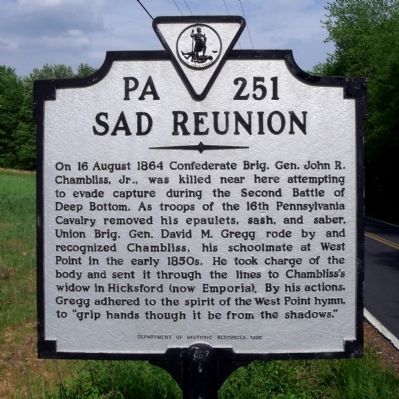
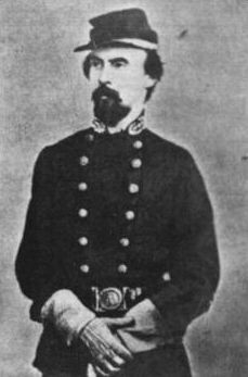
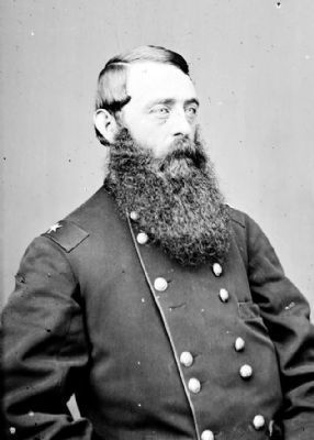
On 16 August 1864 Confederate Brig. Gen. John R. Chambliss, Jr., was killed near here attempting to evade capture during the Second Battle of Deep Bottom. As troops of the 16th Pennsylvania Cavalry removed his epaulets, sash, and saber, Union Brig. Gen. David M. Gregg rode by and recognized Chambliss, his schoolmate at West Point in the early 1850s. He took charge of the body and sent it through the lines to Chambliss's widow in Hicksford (now Emporia). By his actions, Gregg adhered to the spirit of the West Point hymn, to "grip hands though it be from the shadows."
Erected 1992 by Department of Historic Resources. (Marker Number PA-251.)
Topics and series. This historical marker is listed in this topic list: War, US Civil. In addition, it is included in the Virginia Department of Historic Resources (DHR) series list. A significant historical year for this entry is 1864.
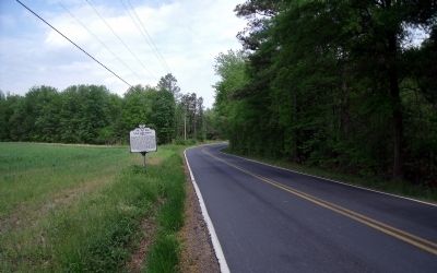
Location. 37° 28.527′ N, 77° 17.123′ W. Marker is near Richmond, Virginia, in Henrico County. Marker is on Charles City Road, 0.2 miles west of Yahley Mill Road, on the right when traveling west. Touch for map. Marker is at or near this postal address: 4535 Charles City Rd, Henrico VA 23231, United States of America. Touch for directions.
Other nearby markers. At least 8 other markers are within 3 miles of this marker, measured as the crow flies. 39th Illinois Veteran Volunteers (approx. 1.7 miles away); Second Battle of Deep Bottom (approx. 1.7 miles away); 48th Alabama Regiment Monument (approx. 1.9 miles away); Battle of Savage's Station (approx. 2˝ miles away); Darbytown Road / Pioneer Baptist Church (approx. 2.7 miles away); Seven Days Battles (approx. 2.8 miles away); The Dorey Family (approx. 2.8 miles away); Decoy Airfield (approx. 2.9 miles away). Touch for a list and map of all markers in Richmond.
Also see . . .
1. John R. Chambliss. Wikipedia entry (Submitted on June 18, 2023, by Larry Gertner of New York, New York.)
2. Second Battle of Deep Bottom. Wikipedia entry (Submitted on June 18, 2023, by Larry Gertner of New York, New York.)
Credits. This page was last revised on March 9, 2024. It was originally submitted on May 1, 2009, by Bernard Fisher of Richmond, Virginia. This page has been viewed 1,962 times since then and 56 times this year. Photos: 1, 2, 3. submitted on May 1, 2009, by Bernard Fisher of Richmond, Virginia. 4. submitted on June 28, 2009, by Bernard Fisher of Richmond, Virginia.


