
North Newport News , Virginia — The American South (Mid-Atlantic)
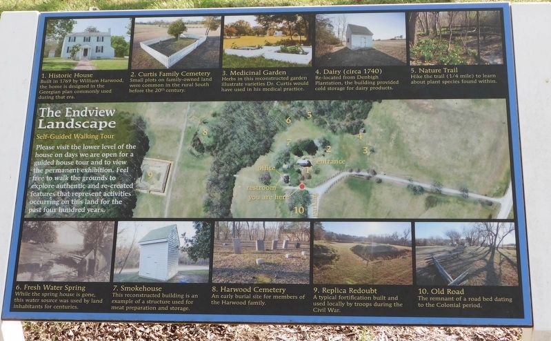
The Endview Landscape
Self-Guided Walking Trail
Photographed by Bradley Owen, October 18, 2021
1. The Endview Landscape Marker
Please visit the lower level of the house on days we are open for a guided house tour and to view the permanent exhibition. Feel free to walk the grounds to explore authentic and re-created features that represent activities occurring on this land for the past four hundred years.
1. Historic House
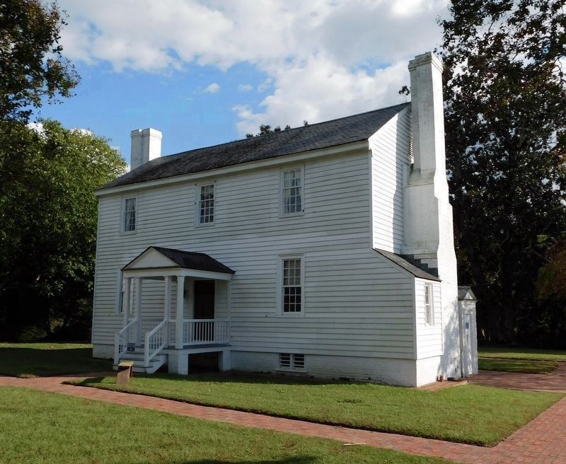
Built in 1769 by William Harwood, the home is designed in the Georgian plan commonly used during that era.
2. Curtis Family Cemetery
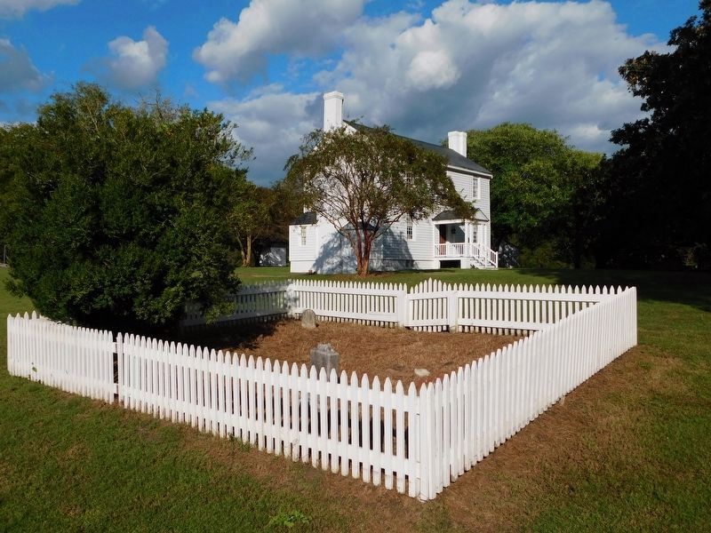
Small plots on family-owned land were common in the rural South before the 20th century.
3. Medicinal Garden
Herbs in this reconstructed garden illustrate varieties Dr. Curtis would have used in his medical practice.
4. Dairy (circa 1740)
Re-located from Denbigh Plantation, the building provided cold storage for dairy products.
5. Nature Trail
Hike the trail (1/4 mile) to learn about plant species found within.
6. Fresh Water Spring
While the spring house is gone, this water source was used by land inhabitants for centuries.
7. Smokehouse
This reconstructed building is an example of a structure used for meat preparation and storage.
8. Harwood Cemetery
An early
this page online
9. Replica Redoubt
A typical fortification built and used locally by troops during the Civil War.
10. Old Road
The remnant of a road bed dating to the Colonial period.
Erected by Endview Living History Museum.
Topics. This historical marker is listed in these topic lists: Architecture • Cemeteries & Burial Sites • Colonial Era • War, US Civil. A significant historical year for this entry is 1769.
Location. Marker has been permanently removed. It was located near 37° 12.679′ N, 76° 34.156′ W. Marker was in Newport News, Virginia. It was in North Newport News. It could be reached from the intersection of Yorktown Road (Virginia Route 238) and Lebanon Church Road, on the right when traveling north. The marker stands on the grounds of the Endview Living History Museum at the edge of the parking lot. Touch for map. Marker was at or near this postal address: 362 Yorktown Road, Newport News VA 23603, United States of America.
We have been informed that this marker is no longer there and will not be replaced. This page is an archival view of what was.
Regionally, this
Photographed by Bradley Owen, October 18, 2021
2. The Endview Landscape Marker
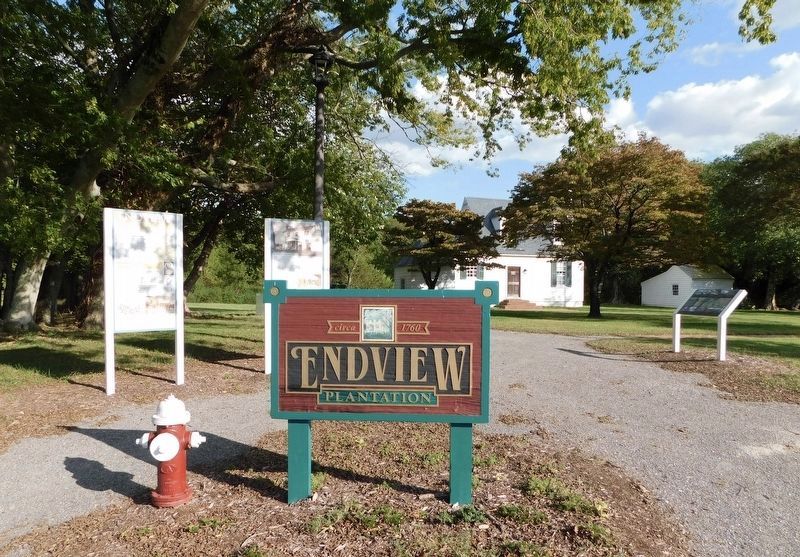
Marker can be seen at the far right.

Other nearby markers. At least 8 other markers are within walking distance of this location: Endview (here, next to this marker); Endview Plantation (here, next to this marker); The Dairy House (about 300 feet away, measured in a direct line); Virginia Indians (about 400 feet away); The Cemetery (about 600 feet away); a different marker also named Endview (about 700 feet away); a different marker also named Endview (about 700 feet away); Lebanon Church (about 700 feet away). Touch for a list and map of all markers in Newport News.
Other markers no longer nearby.
Photographed by Bradley Owen, October 18, 2021
3. Endview - The Historic House
Regarding The Endview Landscape. Marker includes a map of the property and the self-guided tour stops.
Also see . . . Endview Plantation. Historic Newport News (Submitted on November 6, 2021.)
Photographed by Bradley Owen, October 18, 2021
4. Curtis Family Cemetery
Endview in the background.
Credits. This page was last revised on February 16, 2026. It was originally submitted on November 5, 2021, by Bradley Owen of Morgantown, West Virginia. This page has been viewed 481 times since then and 46 times this year. Last updated on February 15, 2026, by Evan Dwyer of Richmond, Virginia. Photos: 1, 2, 3. submitted on November 5, 2021, by Bradley Owen of Morgantown, West Virginia. 4. submitted on November 6, 2021, by Bradley Owen of Morgantown, West Virginia. • Devry Becker Jones was the editor who published this page.
