Mile Square in Indianapolis in Marion County, Indiana — The American Midwest (Great Lakes)
Calvin Fletcher
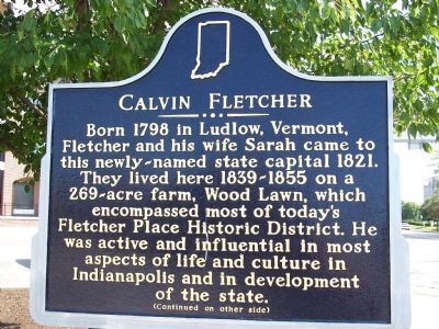
Photographed by M. Bowyer, July 22, 2007
1. Side One: Calvin Fletcher Marker
Fletcher opposed slavery and promoted organization of U.S. Colored Troops in Indiana in Civil War. He died 1866 and is buried in Crown Hill Cemetery. He firmly established the Fletcher name in Indianapolis history; some of his children continued the legacy. His extensive diaries and letters remain essential sources for study of early Indiana.
Erected 2006 by Indiana Historical Bureau, Fletcher Place Neighborhood Association, and Flanner and Buchanan Funeral Centers. (Marker Number 49.2006.1.)
Topics and series. This historical marker is listed in these topic lists: African Americans • Agriculture • Settlements & Settlers • War, US Civil. In addition, it is included in the Indiana Historical Bureau Markers series list. A significant historical year for this entry is 1798.
Location. 39° 45.674′ N,
this page online

Regionally, this marker is in Central Indiana. It is also in the American Midwest and in the Corn Belt. Globally, it is in North America, the Western Hemisphere, the Western World, and the Anglosphere. Historically, it finds itself in what was once the territory of the Mississippian Culture and also the Northwest Territory.
Other nearby markers. At least 8 other markers are within walking distance of this marker: Fletcher Place Historic District (a few steps from this marker); Indiana Oxygen Company Building (within shouting distance of this marker); Indiana Oxygen Company (within shouting distance of this marker); Holy Rosary/Danish Church Historic District (within shouting distance of this marker); Indianapolis Farmers Market (about 400 feet away, measured in a direct line); Holy Rosary - Danish Church Historic District
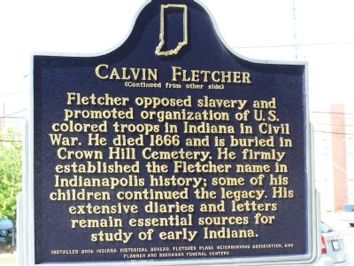
Photographed by M. Bowyer, July 22, 2007
2. Side Two: Calvin Fletcher Marker
Additional keywords. NRHP USCT
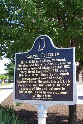
Photographed by M. Bowyer, July 22, 2007
3. Calvin Fletcher Marker
Credits. This page was last revised on February 4, 2023. It was originally submitted on July 23, 2007, by M. Bowyer of Indianapolis, Indiana. This page has been viewed 1,961 times since then and 65 times this year. Photos: 1, 2, 3. submitted on July 23, 2007, by M. Bowyer of Indianapolis, Indiana. • J. J. Prats was the editor who published this page.
