Near Pecos in San Miguel County, New Mexico — The American Mountains (Southwest)
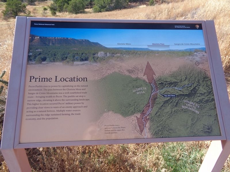
Prime Location
Pecos National Historical Park
(photo caption:)
Pecos Pueblo was a gateway between the Plains Indians and the upper Rio Grande pueblos.
Erected by National Park Service.
Topics. This historical marker is listed in these topic lists: Agriculture • Native Americans.
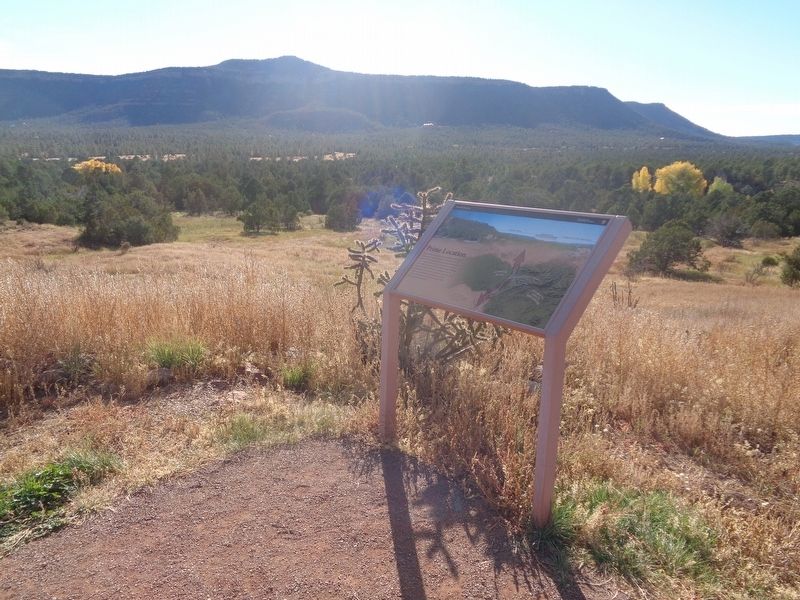
Location. 35° 33.065′ N, 105° 41.411′ W. Marker is near Pecos, New Mexico, in San Miguel County. Marker can be reached from the intersection of Ancestral Sites Trail and Peach Drive. Marker is on a trail around the Pueblo ruins, at Pecos National Historical Park. Touch for map. Marker is at or near this postal address: 1 NM-63, Pecos NM 87552, United States of America. Touch for directions.
Other nearby markers. At least 8 other markers are within walking distance of this marker. Precious Water (about 300 feet away, measured in a direct line); Mission Churches (about 300 feet away); Pueblo Revolt (about 400 feet away); Last Church (about 400 feet away); Pecos Pueblo Mission (about 500 feet away); Practical Adaptations (about 600 feet away); A Day in Pueblo Life (about 700 feet away); Architecture as Artifact (about 700 feet away). Touch for a list and map of all markers in Pecos.
Also see . . . Pecos National Historical Park (NPS). (Submitted on November 6, 2021, by Jason Voigt of Glen Carbon, Illinois.)
Credits. This page was last revised on November 6, 2021. It was originally submitted on November 6, 2021, by Jason Voigt of Glen Carbon, Illinois. This page has been viewed 192 times since then and 12 times this year. Photos: 1, 2. submitted on November 6, 2021, by Jason Voigt of Glen Carbon, Illinois.

