Near Walhalla in Oconee County, South Carolina — The American South (South Atlantic)
Issaqueena Falls
Dramatic Cascades of the Upcountry
Photographed by Duane and Tracy Marsteller, November 7, 2021
1. Issaqueena Falls Marker
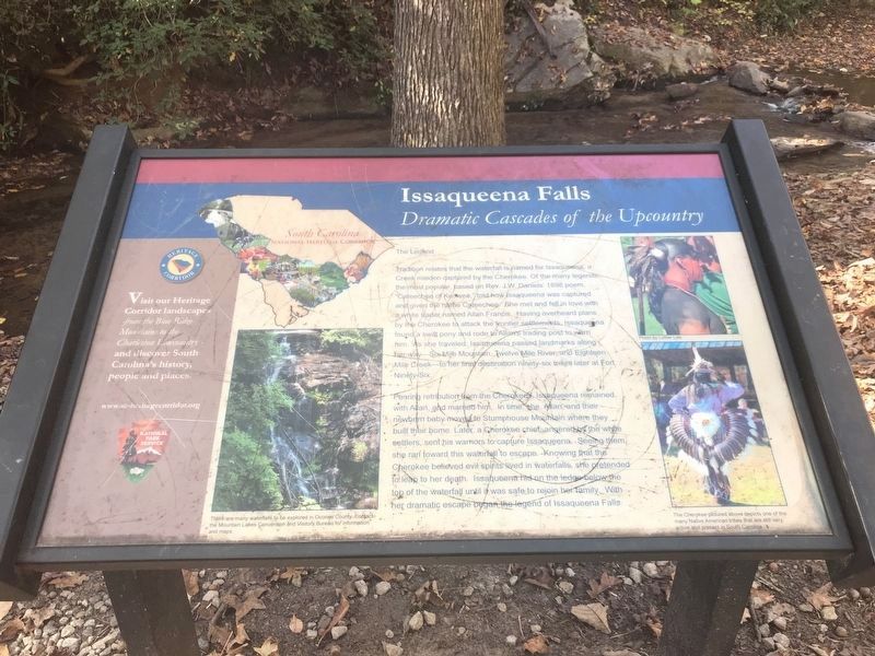
Tradition relates that the waterfall is named for Issaqueena, a Creek maiden captured by the Cherokee. Of the many legends, the most popular, based on Rev. J.W. Daniels' 1898 poem, “Cateechee of Keowee,” told how Issaqueena was captured and given the name Cateechee. She met and fell in love with a white trader named Allan Francis. Having overheard plans by the Cherokee to attack the frontier settlements, Issaqueena found a swift pony and rode to Allan's trading post to warn him. As she traveled, Issaqueena passed landmarks along her way — Six-Mile Mountain, Twelve Mile River, and Eighteen Mile Creek — to her final destination ninety-six miles later at Fort Ninety-Six.
Fearing retribution from the Cherokees, Issagueena remained with Allan, and married him. In time, she, Allan, and their newborn baby moved to Stumphouse Mountain where they built their home. Later, a Cherokee chief, angered the white settlers, sent his warriors to capture Issaqueena. Seeing them, she ran toward this waterfall to escape. Knowing that the Cherokee believed evil spirits lived in waterfalls, she pretended to leap to her death. Issaqueena
this page online
[Left] There are many waterfalls to be explored in Oconee County. Contact the Mountain Lakes Convention and Visitors Bureau for information and maps.
Right] The Cherokee pictured above depicts one of the many Native American tribes that are still very active and present in South Carolina. Photo by Luther Lyle
Topics. This historical marker is listed in these topic lists: Arts, Letters, Music • Indigenous Peoples and Communities • Waterways & Vessels. A significant historical year for this entry is 1898.
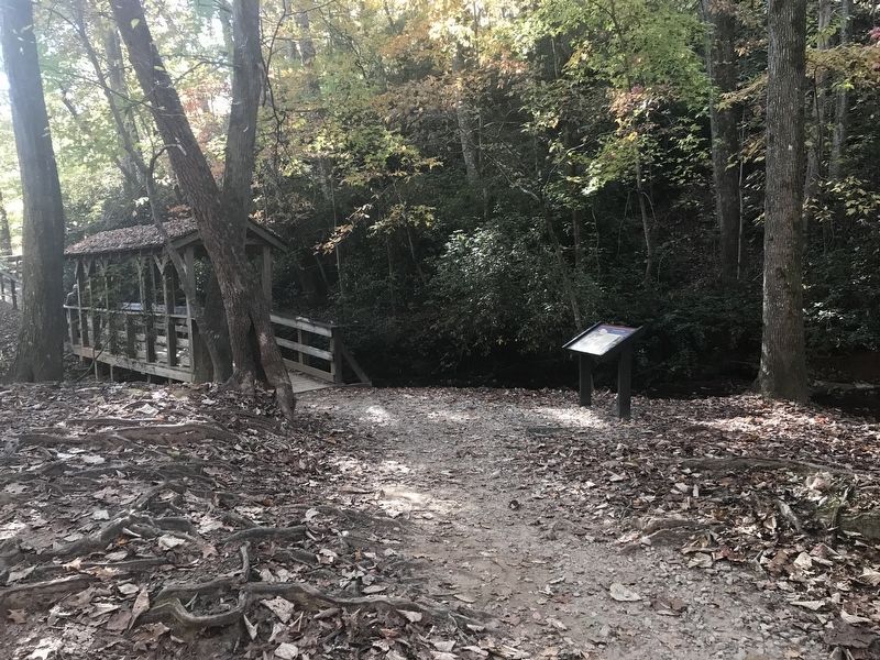
Location. 34° 48.433′ N, 83° 7.292′ W. Marker is near Walhalla, South Carolina, in Oconee County. It can be reached from Stumphouse Tunnel Road east of State Highway 28, on the right when traveling north. Marker is by the bridge leading from the parking lot to the waterfall lookout. Touch for map. Marker is in this post office area: Walhalla SC 29691, United States of America. Touch for directions.

Regionally, this marker is in andspecifically pstate, in the Foothills,
Photographed by Duane and Tracy Marsteller, November 7, 2021
2. Issaqueena Falls Marker
Other nearby markers. At least 8 other markers are within walking distance of this marker: South Carolina National Heritage Corridor (here, next to this marker); a different marker also named Issaqueena Falls (about 500 feet away, measured in a direct line); Stumphouse Mountain Tunnel (approx. ¼ mile away); Stumphouse Tunnel (approx. ¼ mile away); Andrew Pickens Ranger District / Oconee County (approx. 0.4 miles away); SW Middle Tunnel (approx. 0.4 miles away); Stumphouse Mountain Middle Tunnel (approx. 0.4 miles away); NE Middle Tunnel (approx. half a mile away). Touch for a list and map of all markers in Walhalla.
Also see . . . Cateechee of Keeowee: a descriptive poem.
Photographed by Duane and Tracy Marsteller, November 7, 2021
3. Issaqueena Falls
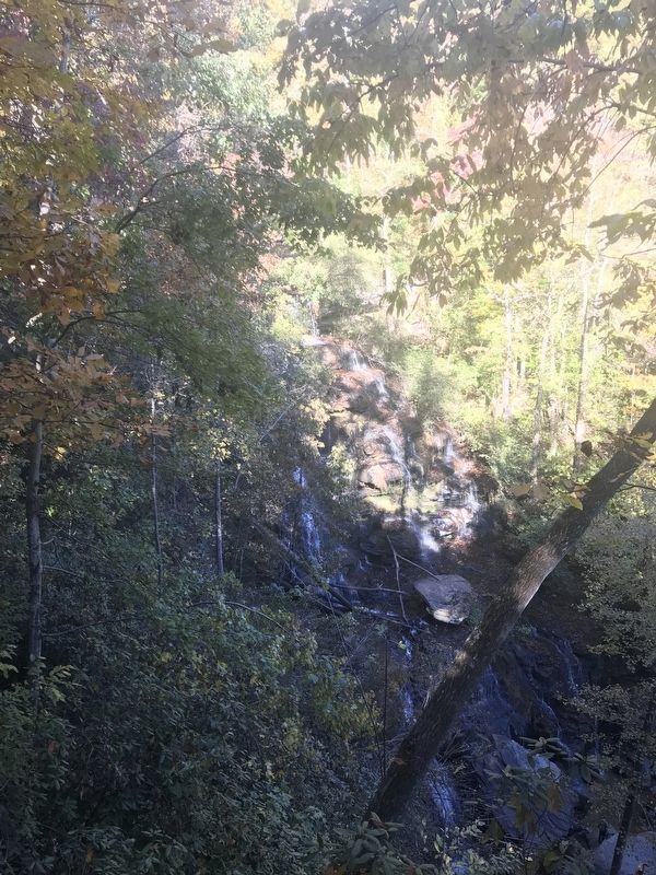
Recent dry weather had reduced the waterfall's voulume.

Photographed by Tom Bosse, January 3, 2026
4. Issaqueena Falls Marker

Photographed by Tom Bosse, January 3, 2026
5. Issaqueena Falls
Credits. This page was last revised on January 14, 2026. It was originally submitted on November 7, 2021, by Duane and Tracy Marsteller of Murfreesboro, Tennessee. This page has been viewed 712 times since then and 57 times this year. Photos: 1. submitted on November 7, 2021, by Duane and Tracy Marsteller of Murfreesboro, Tennessee. 2, 3. submitted on November 10, 2021, by Duane and Tracy Marsteller of Murfreesboro, Tennessee. 4, 5. submitted on January 10, 2026, by Tom Bosse of Jefferson City, Tennessee.
