Bethesda in Montgomery County, Maryland — The American Northeast (Mid-Atlantic)
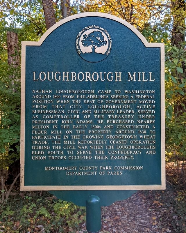
Loughborough Mill
Erected by Montgomery County Park Commission, Department of Parks.
Topics. This historical marker is listed in these topic lists: Agriculture • Industry & Commerce • War, US Civil. A significant historical year for this entry is 1830.
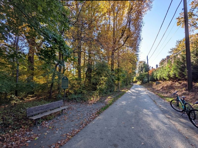
Location. 38° 57.568′ N, 77° 6.415′ W. Marker is in Bethesda, Maryland, in Montgomery County. Marker is on Capital Crescent Trail, 0.4 miles south of River Road (Maryland Route 190), on the left when traveling south. Touch for map. Marker is in this post office area: Bethesda MD 20816, United States of America. Touch for directions.
Other nearby markers. At least 8 other markers are within walking distance of this marker. A different marker also named Loughborough Mill (within shouting distance of this marker); Neal Potter Plaza (approx. half a mile away); a different marker also named Neal Potter Plaza (approx. half a mile away); Artist's Conception of Battery Bailey, Circa 1862 (approx. half a mile away); Defending the City of Washington (approx. half a mile away); What is a Battery? (approx. half a mile away); Col. Guilford Dudley Bailey (approx. half a mile away); Battery Bailey (approx. half a mile away). Touch for a list and map of all markers in Bethesda.
Credits. This page was last revised on November 9, 2021. It was originally submitted on November 8, 2021, by Bernard Fisher of Richmond, Virginia. This page has been viewed 220 times since then and 20 times this year. Photos: 1, 2. submitted on November 8, 2021, by Bernard Fisher of Richmond, Virginia.

