Vincennes in Knox County, Indiana — The American Midwest (Great Lakes)
Tecumseh and Harrison
Photographed by Tim Fillmon, October 22, 2021
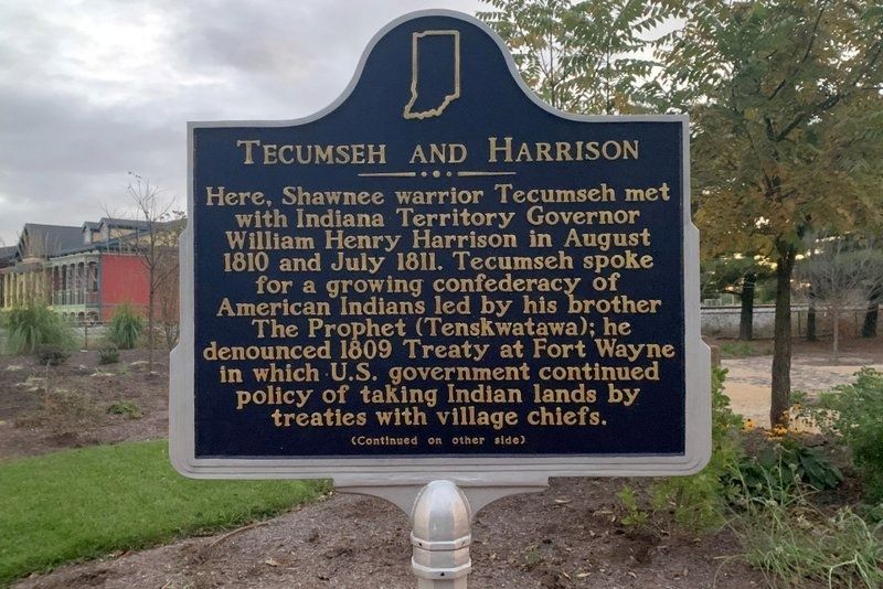
1. Tecumseh and Harrison Marker Side 1
Side 1
Here, Shawnee warrior Tecumseh met with Indiana Territory Governor William Henry Harrison in August 1810 and July 1811. Tecumseh spoke for a growing confederacy of American Indians led by his brother The Prophet (Tenskwatawa); he denounced 1809 Treaty at Fort Wayne in which U.S. government continued policy of taking Indian lands by treaties with village chiefs.
(Continued on other side)
Side 2
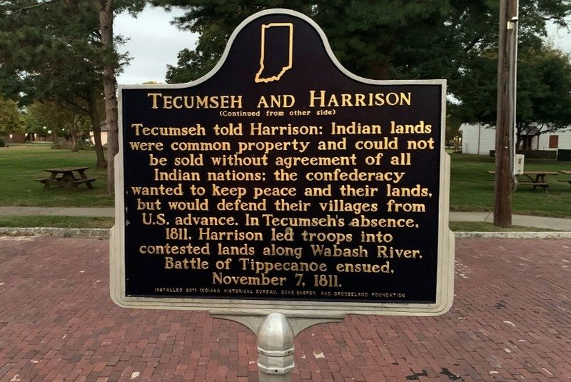
(Continued from other side)
Tecumseh told Harrison: Indian lands were common property and could not be sold without agreement of all Indian nations; the confederacy wanted to keep peace and their lands, but would defend their villages from U.S. advance. In Tecumseh’s absence, 1811, Harrison led troops into contested lands along Wabash River. Battle of Tippecanoe ensued, November 7, 1811.
Erected 2011 by Indiana Historical Bureau, Duke Energy, and Grouseland Foundation. (Marker Number 42.2011.1.)
Topics. This historical marker is listed in these topic lists: Indigenous Peoples and Communities • Wars, US Indian. A significant historical month for this entry is August 1810.
Location. 38° 41.1′ N, 87° 31.555′ W. Marker is
this page online

Regionally, this marker is in the Tri-State Region, in Southern Indiana, and in the Wabash Valley. It is also in the American Midwest and in the Corn Belt. Globally, it is in North America, the Western Hemisphere, the Western World, and the Anglosphere. Historically, it finds itself in what was once the Viceroyalty of New France, the territory of the Mississippian Culture, and the Northwest Territory.
Other nearby markers. At least 8 other markers are within walking distance of this marker: Indiana Territory (within shouting distance of this marker); "Grouseland" (within shouting distance of this marker); Millstones from Emison Mills (within shouting distance of this marker); Sarah Knox Taylor (within shouting distance of this marker); William Henry Harrison & Lewis & Clark Expedition (within shouting
Photographed by Tim Fillmon, October 22, 2021
2. Tecumseh and Harrison Marker Side 2
Also see . . . Tecumseh. (Submitted on November 11, 2021, by Tim Fillmon of Webster, Florida.)
Additional keywords. N 38° 41.101 W 087° 31.554
Photographed by Tim Fillmon, October 22, 2021
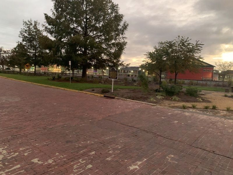
3. Tecumseh and Harrison Marker
Credits. This page was last revised on November 11, 2021. It was originally submitted on November 11, 2021, by Tim Fillmon of Webster, Florida. This page has been viewed 589 times since then and 55 times this year. Photos: 1, 2, 3. submitted on November 11, 2021, by Tim Fillmon of Webster, Florida.
