Fort Snelling in Hennepin County, Minnesota — The American Midwest (Upper Plains)
Welcome to Fort Snelling State Park / A Moving Obstacle
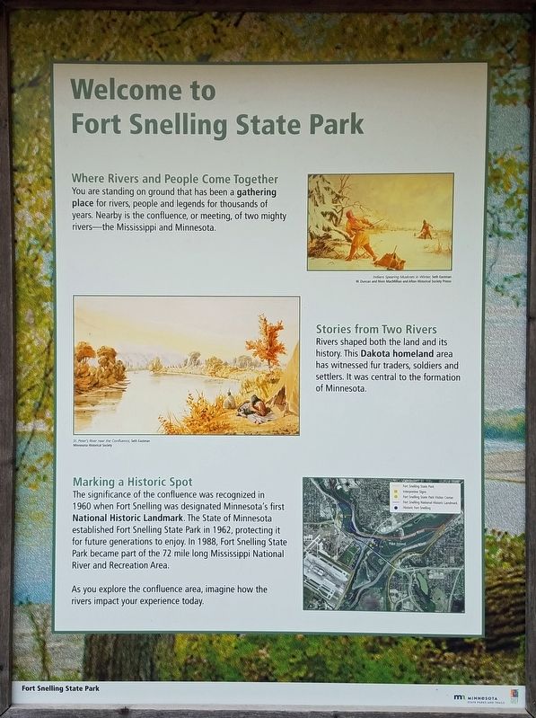
You are standing on ground that has been a gathering place for rivers, people and legends for thousands of years. Nearby is the confluence, or meeting, of two mighty rivers—the Mississippi and Minnesota.
Stories from Two Rivers
Rivers shaped both the land and its history. This Dakota homeland area has witnessed fur traders, soldiers and settlers. It was central to the formation of Minnesota.
Marking a Historic Spot
The significance of the confluence was recognized in 1960 when Fort Snelling was designated Minnesota's first National Historic Landmark. The State of Minnesota established Fort Snelling State Park in 1962, protecting it for future generations to enjoy. In 1988, Fort Snelling State Park became part of the 72 mile long Mississippi National River and Recreation Area.
As you explore the confluence area, imagine how the rivers impact your experience today.
[Captions:]
Indians Spearing Muskrats in Winter, Seth Eastman
W. Duncan and Nivin MacMillian and Afton Historical Society Press
St. Peter's River near the Confluence, Seth Eastman
Minnesota Historical Society
A Moving Obstacle
Once considered main travel routes, rivers became barriers to modern transportation.
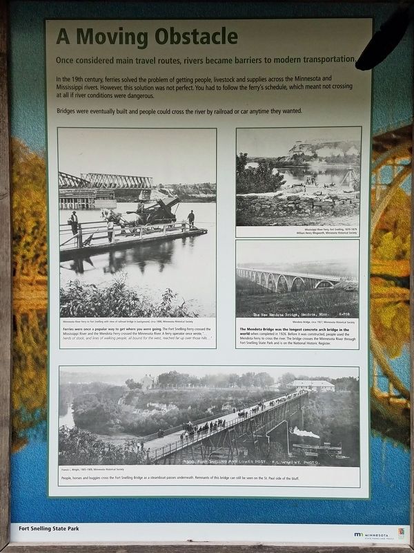
In the 19th century, ferries solved the problem of getting people, livestock and supplies across the Minnesota and Mississippi rivers. However, this solution was not perfect. You had to follow the ferry's schedule, which meant not crossing at all if river conditions were dangerous.
Bridges were eventually built and people could cross the river by railroad or car anytime they wanted.
Ferries were once a popular way to get where you were going. The Fort Snelling Ferry crossed the Mississippi River and the Mendota Ferry crossed the Minnesota River. A ferry operator once wrote, "...herds of stock, and lines of walking people, all bound for the west, reached far up over those hills..."
Minnesota River Ferry to Fort Snelling with view of railroad bridge in background, circa 1890, Minnesota Historical Society
Mississippi River Ferry, Fort Snelling, 1870-1879
William Henry Illingworth, Minnesota Historical Society
The Mendota Bridge was the longest concrete arch bridge in the world when completed in 1926. Before it was constructed, people used the Mendota Ferry to cross the river. The bridge crosses the Minnesota River through Fort Snelling State Park and is on the National Historic Register.
People, horses and buggies cross the Fort Snelling Bridge as a steamboat passes underneath. Remnants of this bridge can still be seen on the St. Paul side of the bluff.
Erected by Minnesota State Parks and Trails.
Topics. This historical marker is listed in these topic lists: Bridges & Viaducts • Native Americans • Parks & Recreational Areas • Waterways & Vessels.
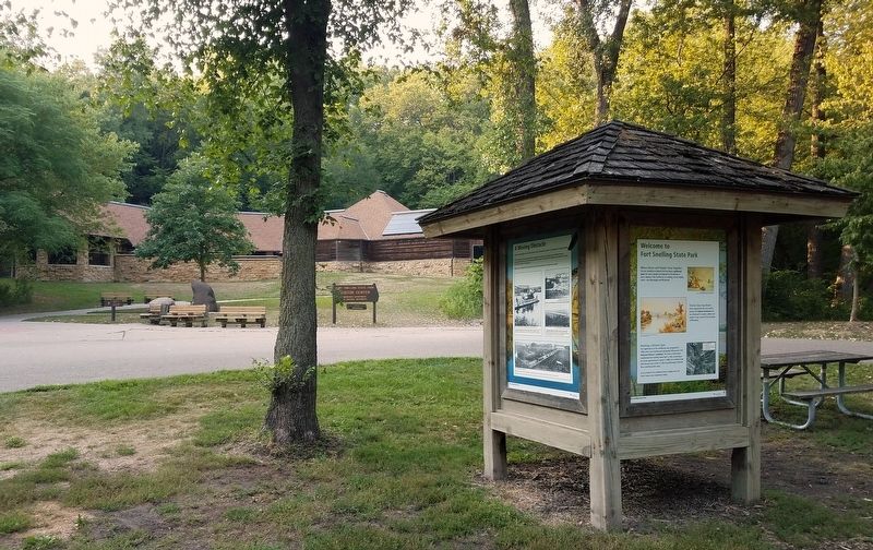
Location. 44° 53.431′ N, 93° 10.923′ W. Marker is in Fort Snelling, Minnesota, in Hennepin County. Marker is on Snelling Lake Road, on the right when traveling north. The markers are in Fort Snelling State Park (vehicle permit required), on a kiosk on the traffic island between the Thomas C. Savage Visitor Center and the parking lot. Touch for map. Marker is in this post office area: Minneapolis MN 55417, United States of America. Touch for directions.
Other nearby markers. At least 8 other markers are within walking distance of this marker. Wokiksuye K'a Woyuonihan (within shouting distance of this marker); Three Sisters Garden (about 700 feet away, measured in a direct line); St. Peters Agency (about 700 feet away); US–Dakota War of 1862 (about 800 feet away); Executions at Fort Snelling (approx. 0.2 miles away); Imprisonment of Dakota Families (approx. 0.2
miles away); Pride (approx. 0.2 miles away); River Valleys Take Shape / A Strategic Advantage / Making a Safe Landing (approx. 0.2 miles away). Touch for a list and map of all markers in Fort Snelling.
Credits. This page was last revised on November 15, 2021. It was originally submitted on November 14, 2021, by McGhiever of Minneapolis, Minnesota. This page has been viewed 211 times since then and 17 times this year. Photos: 1, 2, 3. submitted on November 14, 2021, by McGhiever of Minneapolis, Minnesota. • J. Makali Bruton was the editor who published this page.


