Produce and Waterfront in Oakland in Alameda County, California — The American West (Pacific Coastal)
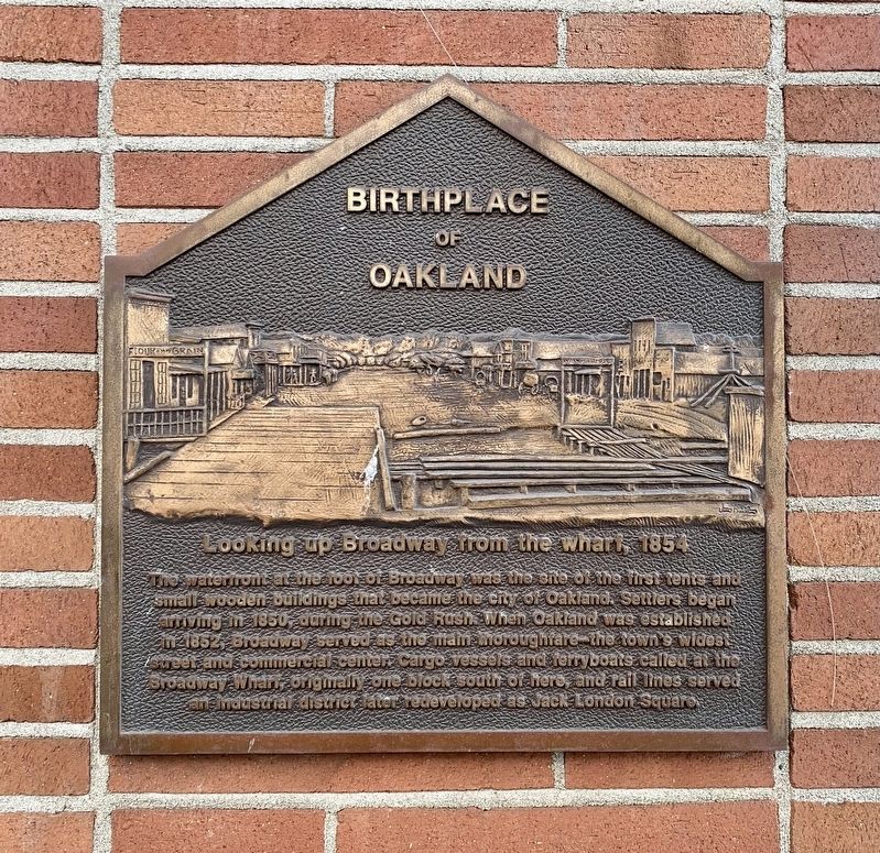
Birthplace of Oakland
Photographed by Andrew Ruppenstein, November 14, 2021
1. Birthplace of Oakland Marker
Looking up Broadway from the wharf, 1854
The waterfront at the foot of Broadway was the site of the first rents and small wooden buildings that became the ciy of Oakland. Settlers began arriving in 1850 during the Gold Rush. When Oakland was established in 1852 Broadway served as the main thoroughfare – the town's widest street and commercial center. Cargo vessels and ferryboats called at the Broadway Wharf, originally one block South of here, and rail lines served an industrial district later redeveloped as Jack London Square.
Topics. This historical marker is listed in these topic lists: Roads & Vehicles • Settlements & Settlers • Waterways & Vessels. A significant historical year for this entry is 1854.
Location. 37° 47.753′ N, 122° 16.574′ W. Marker is in Oakland, California, in Alameda County. It is in Produce and Waterfront. It is at the intersection of Broadway and Second Street, on the right when traveling north on Broadway. Touch for map. Marker is at or near this postal address: 126 Broadway, Oakland CA 94607, United States of America. Touch for directions.

Regionally, this marker is in the San
this page online
Other nearby markers. At least 8 other markers are within walking distance of this marker: Live Oak Lodge U.D (about 400 feet away, measured in a direct line); Western Pacific Railroad Depot (about 500 feet away); Oakland Railroad History (about 500 feet away); Oakland's First Wharf (about 600 feet away); Pony Express Ferry “Oakland” (about 600 feet away); Jack London (about 600 feet away); Origins of Oakland (about 700 feet away); Jack London Square Development (about 700 feet away). Touch for a list and map of all markers in Oakland.
Photographed by Andrew Ruppenstein, November 14, 2021
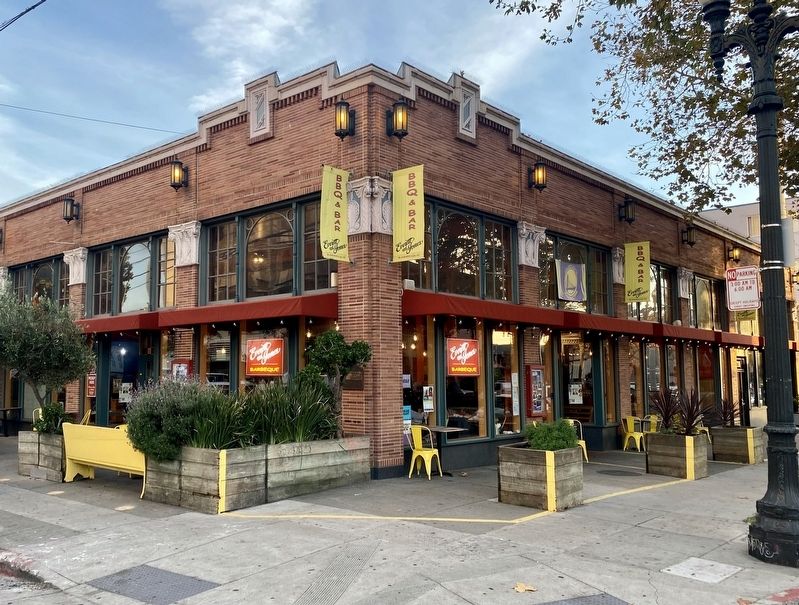
2. Birthplace of Oakland Marker - wide view
The marker is visible here on the corner of the building, albeit half obscured by the shrubbery.
Credits. This page was last revised on February 7, 2023. It was originally submitted on November 15, 2021, by Andrew Ruppenstein of Lamorinda, California. This page has been viewed 488 times since then and 39 times this year. Photos: 1, 2. submitted on November 15, 2021, by Andrew Ruppenstein of Lamorinda, California.
