Fort Edward in Washington County, New York — The American Northeast (Mid-Atlantic)
The Empire State Trail
At Fort Edward
Photographed by Steve Stoessel, November 14, 2021
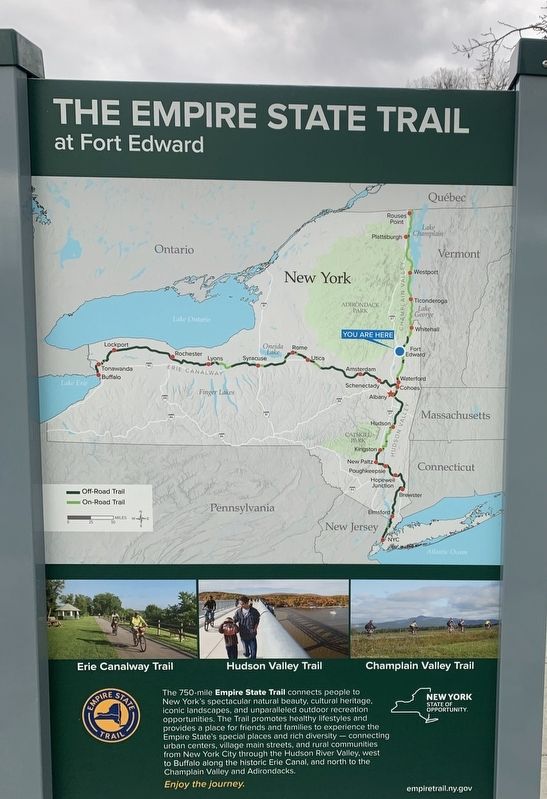
1. The Empire State Trail Marker
Fort Edward
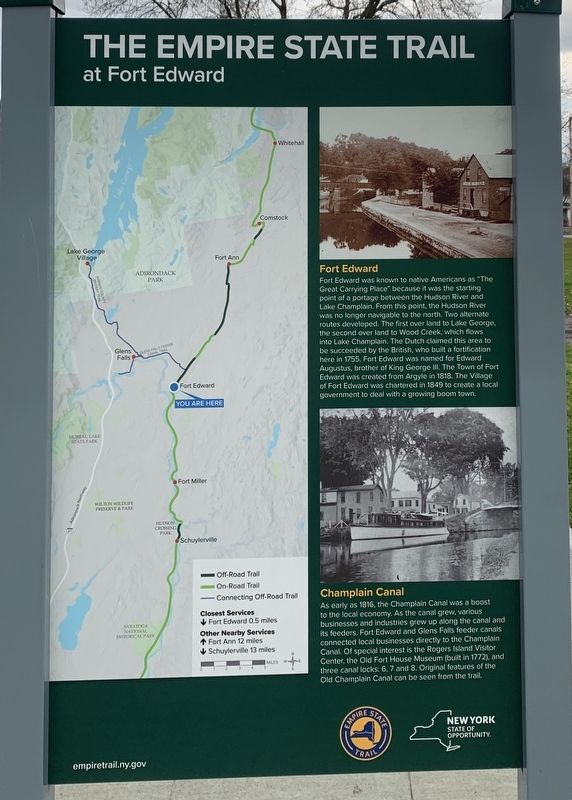
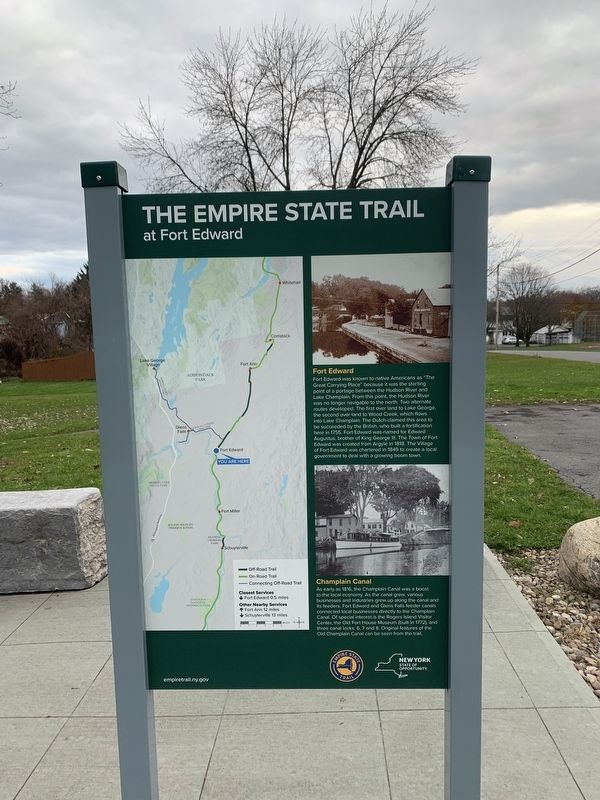
Fort Edward was known to native Americans as "The Great Carrying Place” because it was the starting point of a portage between the Hudson River and Lake Champlain. From this point, the Hudson River was no longer navigable to the north. Two alternate routes developed. The first over land to Lake George, the second over land to Wood Creek, which flows into Lake Champlain. The Dutch claimed this area to be succeeded by the British, who built a fortification here in 1755. Fort Edward was named for Edward Augustus, brother of King George II. The Town of Fort Edward was created from Argyle in 1818. The Village of Fort Edward was chartered in 1849 to create a local government to deal with a growing boom town.
Champlain Canal
As early as 1816, the Champlain Canal was a boost to the local economy. As the canal grew, various businesses and industries grew up along the canal and its feeders. Fort Edward and Glens Falls feeder canals connected local businesses directly to the Champlain Canal. Of special interest is the Rogers Island Visitor Center, the Old Fort House Museum (built in 1772), and three canal locks: 6, 7 and 8. Original features of the Old Champlain Canal can be seen from the trail.
(opposite side:)
The 750-mile Empire State Trail connects people to New York's spectacular natural beauty, cultural heritage, iconic landscapes, and unparalleled outdoor recreation opportunities. The Trail promotes healthy lifestyles and provides a place for friends and families to experience the Empire State's special places and rich diversity- connecting urban centers, village main streets, and rural communities from New York City through the Hudson River Valley, west to Buffalo along the historic Erie Canal, and north to the Champlain Valley and Adirondacks.
Enjoy the journey.
empiretrail.ny.gov
Erected by New
this page online
Topics. This historical marker is listed in these topic lists: Parks & Recreational Areas • Settlements & Settlers • Waterways & Vessels. A significant historical year for this entry is 1755.
Location. 43° 16.418′ N, 73° 34.791′ W. Marker is in Fort Edward, New York, in Washington County. It is at the intersection of McIntyre Street and Towpath Lane, on the right when traveling north on McIntyre Street. Touch for map. Marker is at or near this postal address: 39 McIntyre St, Fort Edward NY 12828, United States of America. Touch for directions.

Regionally, this marker is in Upstate New York and in the Capital District. It is also in the American Northeast and in the Mid-Atlantic. Globally, it is in North America, the Great North Woods, the Western Hemisphere, the Western World, and the Anglosphere. Historically, it finds itself in what was once the Viceroyalty of New France, New Netherland, and one of the original Thirteen Colonies.
Other nearby markers. At least 8 other markers are within walking distance of this marker: Gen. Henry Knox Trail (approx. 0.3 miles away); Jane McCrea
Photographed by Steve Stoessel, November 14, 2021
2. The Empire State Trail Marker
Photographed by Steve Stoessel, November 14, 2021
3. The Empire State Trail Marker
Photographed by Steve Stoessel, June 1, 2025
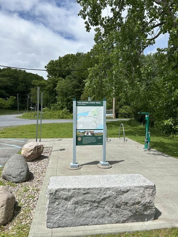
4. The Empire State Trail Marker

Photographed by Steve Stoessel, June 1, 2025
5. The Empire State Trail Marker
Credits. This page was last revised on June 1, 2025. It was originally submitted on November 16, 2021, by Steve Stoessel of Niskayuna, New York. This page has been viewed 496 times since then and 42 times this year. Photos: 1, 2, 3. submitted on November 16, 2021, by Steve Stoessel of Niskayuna, New York. 4, 5. submitted on June 1, 2025, by Steve Stoessel of Niskayuna, New York. • Bill Pfingsten was the editor who published this page.
